
Southampton is a city of green spaces. Right in its heart there are areas of greenery galore, including the Common, the big central parks, the parks around the docks and all the tiny green squares hidden away in odd corners. One of the largest green spaces is Southampton Sports Centre, nestled between Lordswood and Bassett. The Sports Centre is right on the edge of the city so it’s not somewhere I often walk but, in May 2020, Commando was finally put on furlough and had an early morning run planned with his friend Rob, who lives close to it. Of course I jumped at the opportunity to go along and have a wander on my own.
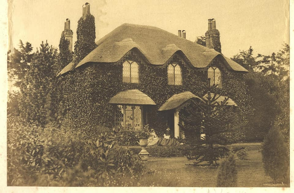
So, early in the morning of 20 May, I found myself walking down Golf Course Road. Once this was a country lane leading between two villas, Pinehurst and Ridgemount, to Red Lodge Farm. Sadly, I could find no photographs of the two villas but they are remembered in local road names, Pinehurst Road and Ridgemount Avenue. Ridgemount was built in the mid nineteenth century and was once owned by William Erasmus Darwin, a Southampton banker and the eldest son of the naturalist Charles Darwin. He lived there between 1871 and his wife’s death in 1902. Now there is nothing to show for any of these villas apart from a tantalising glimpse of a thatched roof half way down Golf Course Road. Looking at the old maps, it seems this may once have been a lodge of some kind, belonging to the Pinehurst Villa.
As this walk was very spur of the moment, I had nothing but a vague idea of where I was going to go. During the great boundary stone hunt a few years back, I’d failed to find the fabled stone hidden somewhere on the Sports Centre. Most sources said there were twelve stones but the one on the Sports Centre and the one on the Common had proved illusive to say the least. Documents I discovered in the city archives told me the stones were made from curb-stones removed from the old rose garden in front of the Civic Centre. They cost £2,500 each to make and install and the total cost was £25,000. This suggested there were only ever ten stones but I did think about having one last look on the Sports Centre just in case.
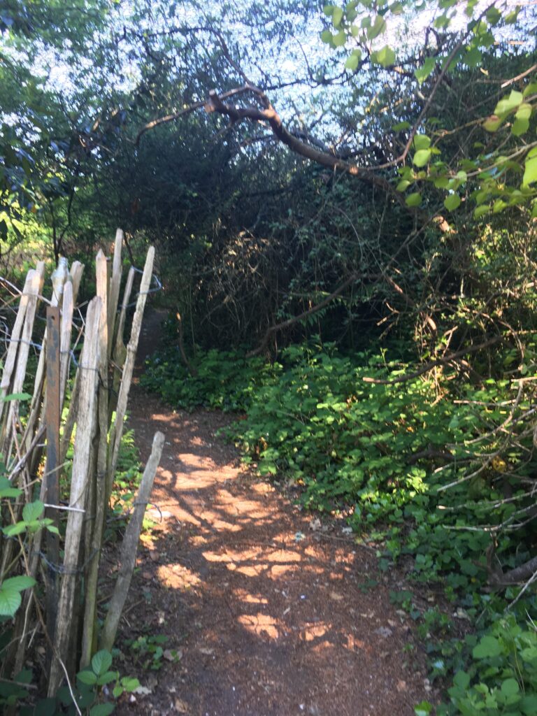
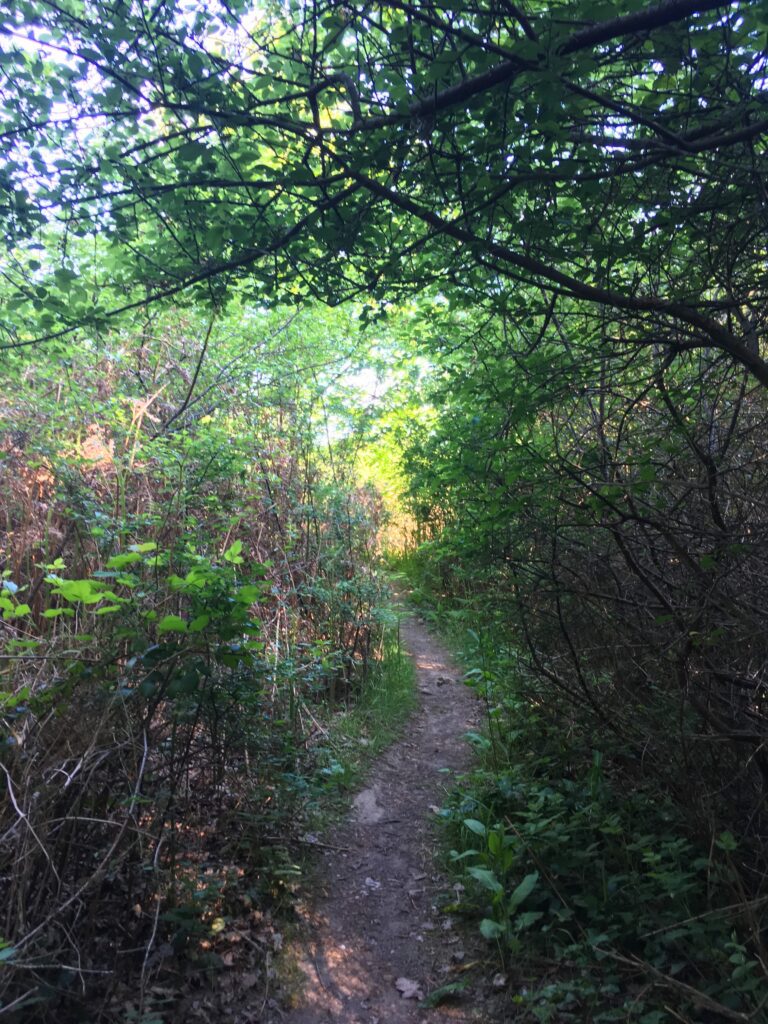
When I reached the top of Golf Course Road, I spotted an intriguing trail running off in roughly the direction the stone was rumoured to be. How could I resist? At first things looked promising. The trail was a touch overgrown, but beautifully shady, on what was turning out to be a very hot morning. I dawdled along, scanning every nook and cranny and feeling quite excited at the prospect of finding a stone no one else had yet seen.
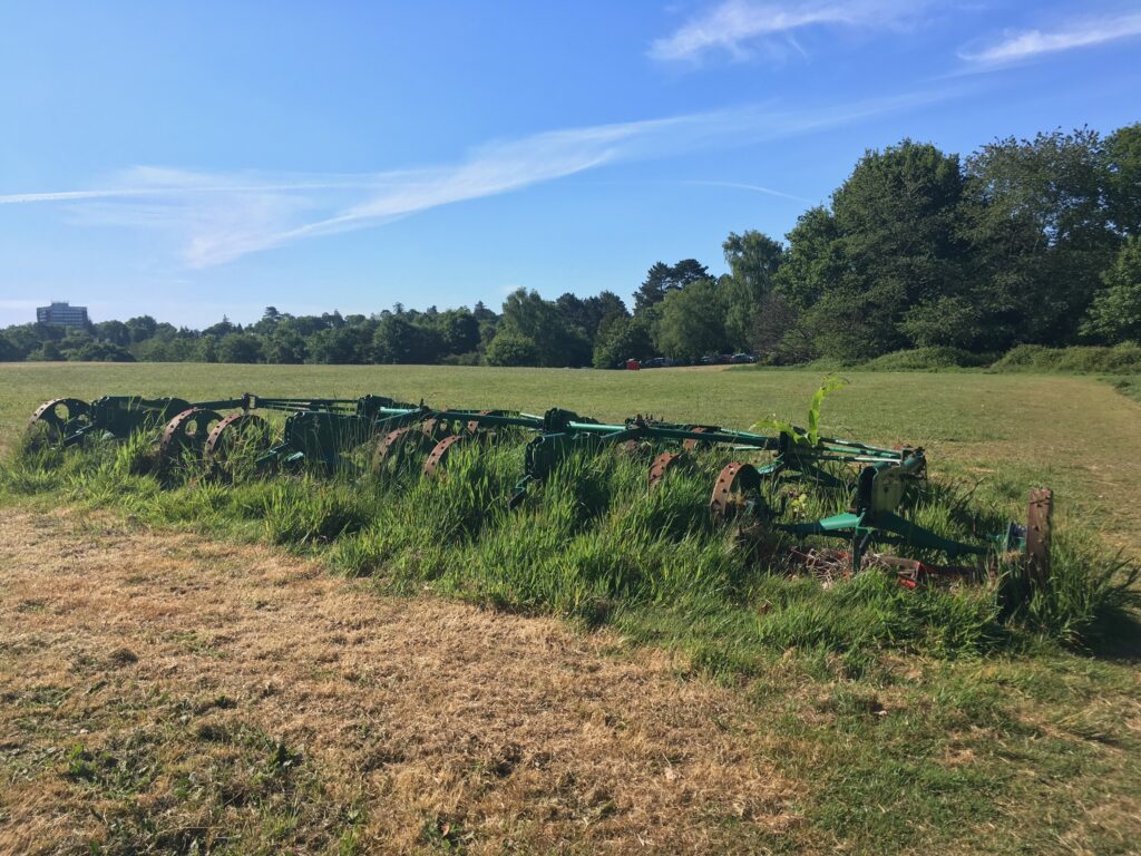
This excitement was short-lived. Very soon the trail emerged in a large, open field surrounded by trees. In the far distance I could just make out a house. Perhaps it was the remnants of the old farmhouse? A ring of flattened grass encircled the field, making an unofficial path. I walked around it, still ever so slightly hopeful of stumbling upon the fabled stone. Then I saw an old plough of some kind abandoned on the other side of the field. It didn’t look old enough to date from the 1930’s but I still wondered if it had something to do with Red Lodge Farm.
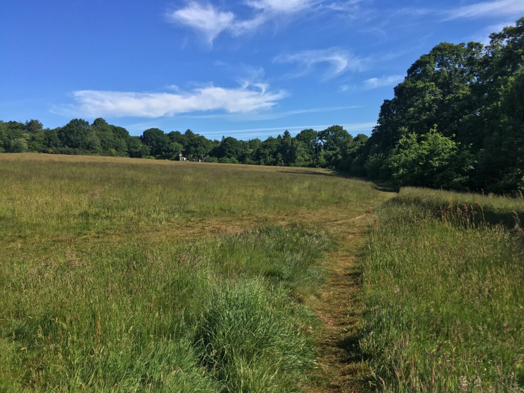
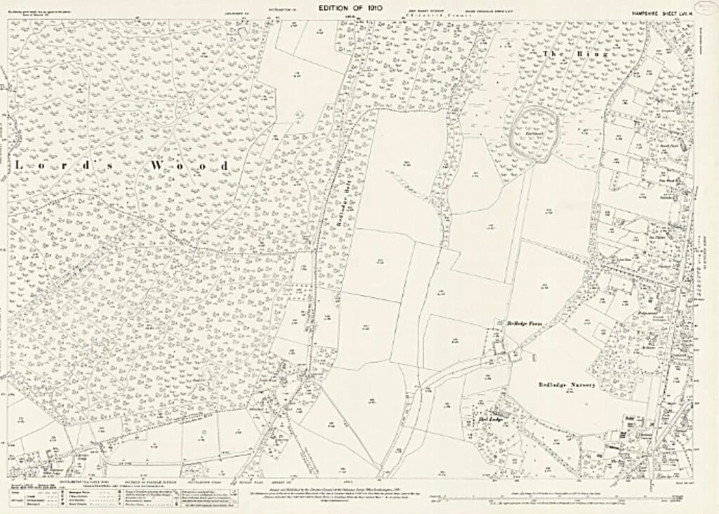
Later, comparing the old and modern maps, I realised the house was a modern one and the farm buildings had been further south. The whole of the Sports Centre was once farmland though so the field was probably pretty much as it had been back in the 1930’s and earlier. Red Lodge farm dated from 1806, when five hundred and fifty acres of the Common were enclosed. In 1821, part of the farm became Red Lodge Nursery, reflecting the victorian obesession with horticulture no doubt, and, in 1870, eight acres was leased to Robert Chatfield Hankinson one of the partners in the Maddison, Atherley, Hankinson and Darwin Bank in Southampton.
Had it not been for a man of great vision, all the acres of farmland would almost certainly have ended up being built upon and I would not have been able to enjoy my leisurely morning walk. Sir Sidney Kimber, Alderman and twice Mayor of Southampton was that man. In the 1930’s he was instrumental in building Southampton’s Civic Centre and, with work on that well underway, he had his mind set on another ambitious project. He dreamed of a great public sports ground and park in the town. He’d looked at sports grounds in Scotland and in Plymouth but felt he could do better for Southampton. He’d even negotiated some favourable terms for the purchase of Red Lodge Farm. On 17 September 1930, he put his proposal to the Council. They rejected it. The Labour councillors in particular were unimpressed. The scheme was, they said, too expensive, housing was a more pressing issue and golf was thought to be unnecessary.
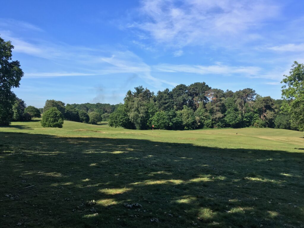
As I left the field behind and looked out over the empty golf course, I wondered what would have happened if Kimber had been a less persistent man? Would all this green space have been filled with hundreds of little box like houses, or even blocks of ugly flats? Luckily for the people of this fair city, Sidney Kimber was not a man who gave up easily. In 1933, he tried again. By this time some of the land had already been built on, the brickworks in Coxford Road, which would have become a swimming pool, and another area to the north. Alarmingly, the Town Planning Committee wanted to put an arterial road through the middle of the remaining portion.
On 3 May 1933, Sidney Kimber tried again with a reduced plan because of the land already built on. He gave an impassioned speech ending with these words:
‘Mr. Stanton (Borough Engineer) placed this specialised work in the capable hands of his Assistant, Mr. E. A. Law, and I take this opportunity of acknowledging Mr. Law’s capability and understanding of the matter. My association with him in the formation and the carrying out of this great enterprise was a remarkably close one, and only those who can remember this old, badly cared for farm, with its boggy watercourse running right through its centre, can appreciate his difficulty over levels and drainage and his scheme for the various terraces on which he placed the various football, cricket and hockey pitches was a touch of genius.’
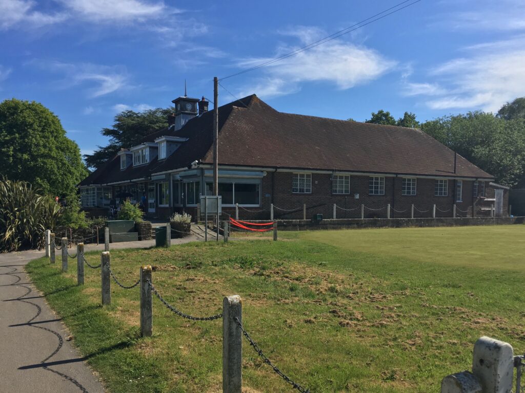
The Council finally agreed and the farm was sold to Southampton Corporation in 1935. More information about the long struggle to get this wonderful facility built can be found here. In September 1935, the golf courses opened and on 28 May 1938, the Duke and Duchess of Kent officially opened the Sports Centre. The Duke said, ‘I have been much impressed during my short drive through the Sports Centre with the excellence of the lay-out.’
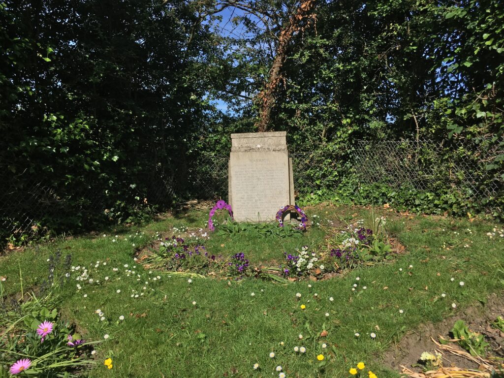
As my walk continued along Golf Course Road, I couldn’t have been more happy that the Council abandoned the idea of an arterial road across this land. Before long I came to Warrior’s grave. To some it may seem strange to have a grave in the middle of the Sports Centre, especially the grave of a horse. Warrior was no ordinary horse though. The white gelding had served with The Old Contemptibles during World War I. He was wounded by shrapnel in the shoulder and taken to a veterinary field hospital in Swaythling. Miss Hilda Miles bought him and he became a much loved member of the Southampton Borough Police Force. When he died, on 22 August 1935, he might well have ended up in the knackers yard but, once again, Sir Sidney Kimber came to the rescue. He arranged for Warrior to be buried near the 18th hole of the Golf Course.
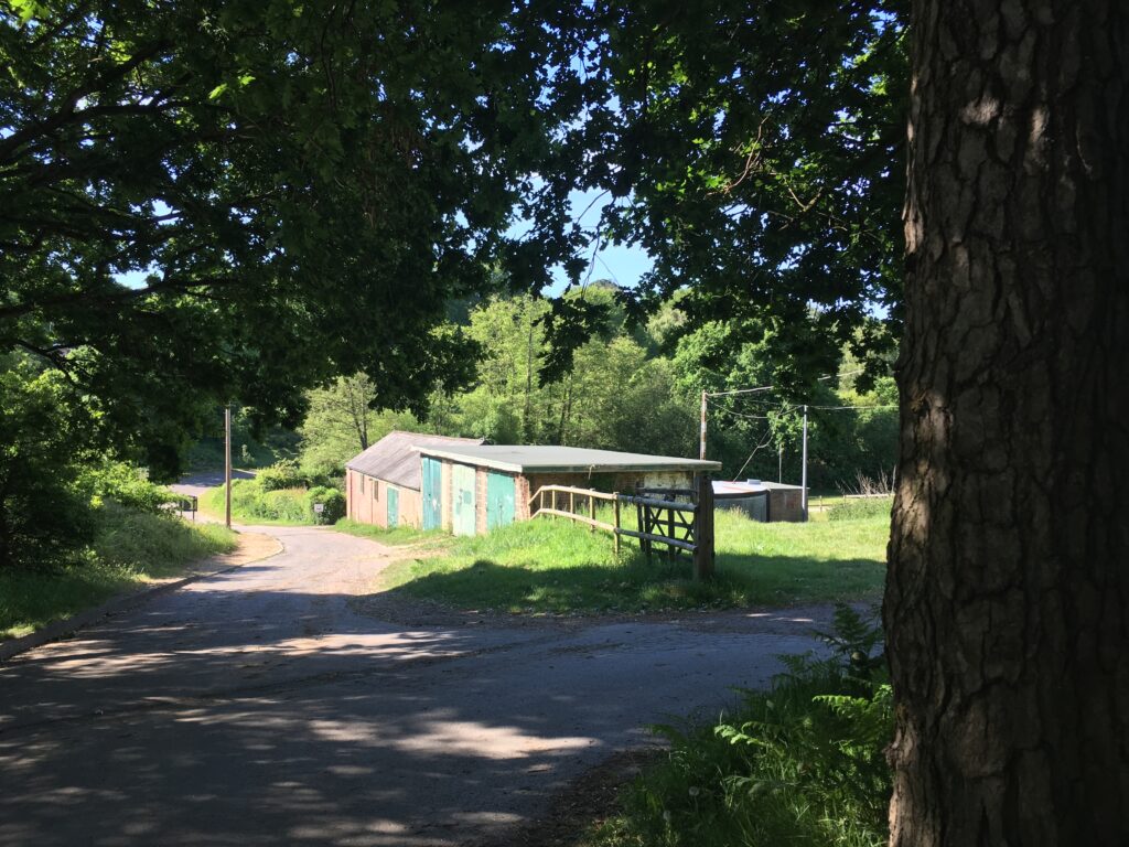
Not far from Warrior’s grave there are some old buildings, used, as far as I can tell, to store mowers and other equipment to maintain the Sports Centre. Looking at the old maps, this is where the original Red Lodge Farm buildings once stood. I’m not sure if any of these buildings are actually the remains of the old farm or not, but it would be nice to think they were.
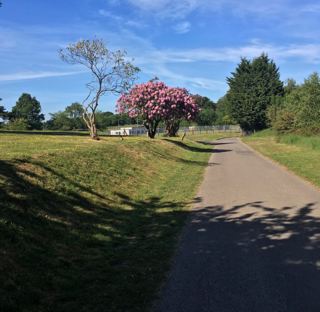
So far there had been no sign of the illusive boundary stone. I’d never really thought there would be but the weather was beautiful and the sight of rhododendrons blooming at the side of the road more than made up for any disappointment.
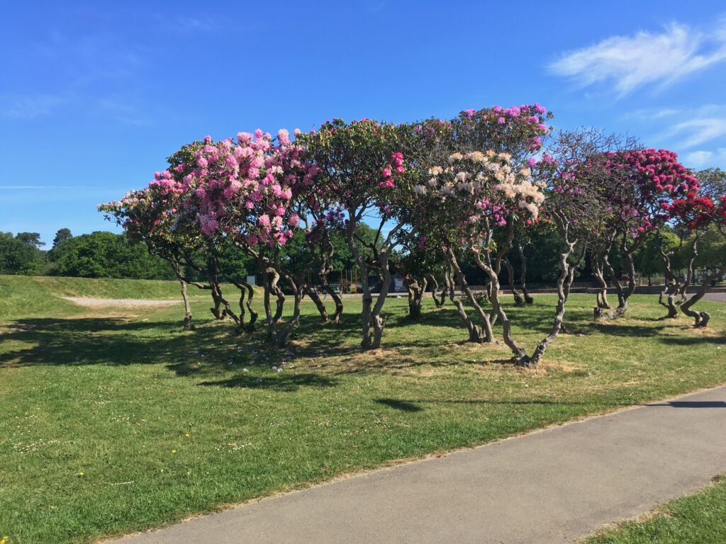
There was one more place I thought the stone might be. I had arranged to meet Commando on the Common and the spot I wanted to explore was on the way. The boggy watercourse running through the old farm is actually Holly Brook. Most of it is culverted these days but there is a tiny wooded enclave where the water can still be seen. I thought the stone might just be hidden there.

If I’m honest, I was clutching at straws. I’d looked in this area several times, just as I’d looked all along Golf Course Road. Even so, there was a little spark of hope that today might be the day I stumbled upon it. After all, some of the other stones had been well hidden and I’d found them more by luck than judgement.

You have probably already guessed that I didn’t find the stone. Many, far cleverer people, have been looking for it for years and, so far, no one has ever found it. All the evidence suggests there is no stone here and there never was. This doesn’t mean I won’t keep my eyes peeled whenever I walk this way though.

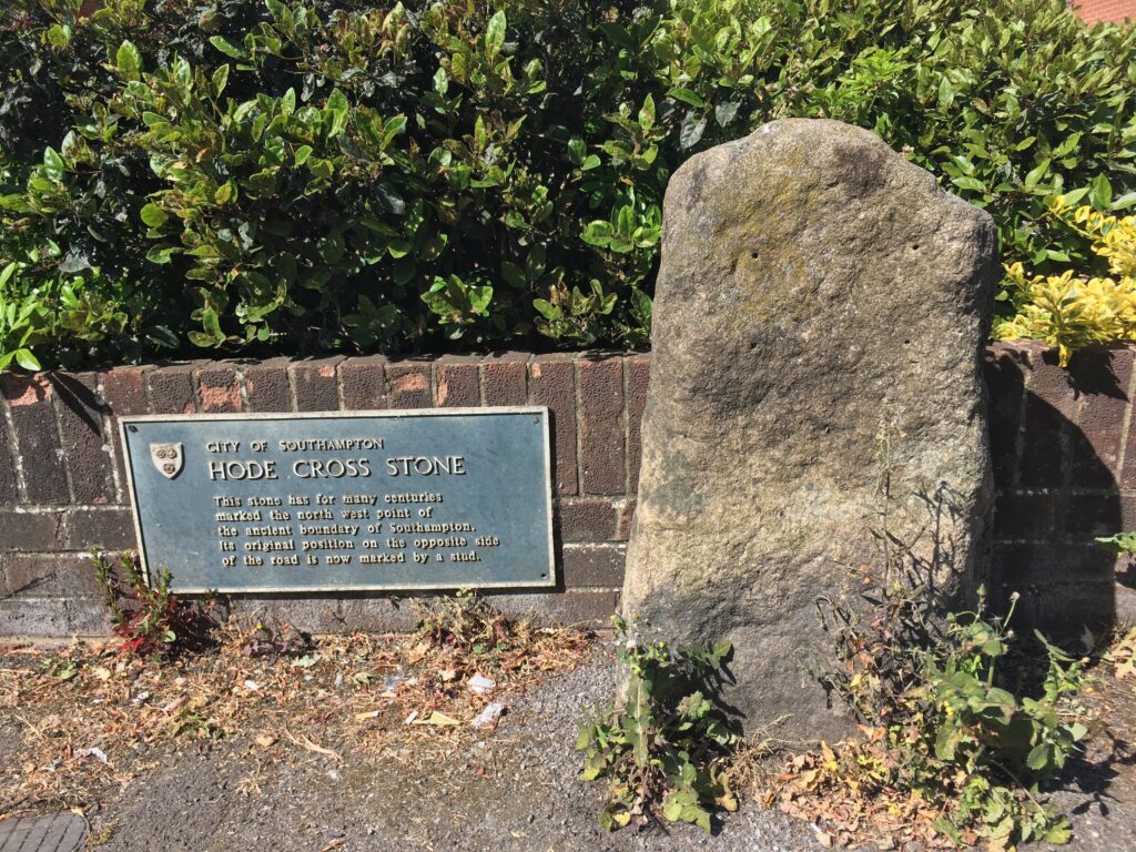
Now it was time to head towards the Common to meet Commando. On the way, there was a boundary stone I had no trouble finding. The stone in question is the Hode Cross Stone. It is far more ancient than the ones I’d been looking for and it marked the old boundary of the town on Hill Lane. It might not have been the stone I was looking for but it seemed a fitting end to a walk that had been all about finding boundary stones.
I didn’t know that Atherley was a banker. I live on what used to be the orchard of his estate.
It’s years since I’ve been to the Sports Centre. I meant to go up there when I was training for my marathon, but couldn’t face crossing Winchester Road. Perhaps I’ll go up there as part of my long run on Sunday.
The more I dig the more interesting things I discover. I didn’t know the Darwin connection until I started researching. The Sports Centre is well worth a visit. I know what you mean about Winchester Road though.
I loved this blog as I often walk from Chandlers Ford where I live to walk down Golf Course Road and on to the Sports Centre.I have often looked at those old buildings and thought they were old farm buildings.
I’m glad you enjoyed it. Looking at the old maps, this was almost certainly the site of the old farm. Ive always thought they looked like farm buildings to and finding out where the farm was makes me think they might be remnants of it.
I’m late to the thread but interested to hear that there is still a good amount of green space in the area of Southampton. I am a descendent of John Rogers and his son William Rogers who are credited with the formation of Red Lodge Nursery in the area. I believe that there is a thatched cottage that was once a home of a Rogers. My relative eventually emigrated to Canada and married into my mother’s historical family. The Rogers name persisted for a few generations in Canada and was even given as a first name to one individual. -interesting!!
Glad to add some context to your family history.