
My walk on 28 September had taken me as far along Monks Brook as I could go without leaving Fleming Park and getting hopelessly lost, but I still had time on my hands before Commando was due to finish his run. Time for some aimless wandering along the paths and trails I knew well from several CC6s. So, I returned to the gravel path and began a circuit of what had once been a golf course. Huge pylons dominate the northern edge of the park. They rather spoil the view. The M3, on the other side of the trees to my right, didn’t help much either. The hum of traffic was a constant irritation.
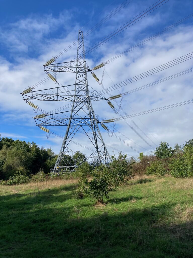
Perhaps, if you’re a fan of electricity, pylons might be interesting, but I was keen to get away from them smartish. Luckily, I knew there was a trail running parallel to the gravel path a little further ahead. I got onto it as soon as I could. It’s a lovely trail, even if the motorway noise was still audible. I tuned it out as best I could.

As I walked, I wondered what it was like when it was a golf course. I never saw it, but it opened in 1973, and at first, it was popular. It even hosted a prestigious professional women’s tournament, but by 2008, the number of rounds played had dropped from a peak of 67,000 to just 28,000, and the management company was making a huge annual loss. Despite pleas to save it, it was closed in 2008, and the council converted the site into an informal leisure area for walkers and cyclists. The golfer’s loss was the walker’s gain.

These days, the park is home to Eastleigh parkrun. They held the first parkrun in Eastleigh at nearby Lakeside in May 2010. By 2012, it had outgrown the venue. In April 2012, after a brief spell at the sports ground in Wide Lane, it found a new home at Fleming Park on the old golf course. Oddly, Eastleigh is one of the few local park runs we haven’t visited, but it was a firm favourite with our good friend, Dave Hawkins. As I wandered amongst the trees, I couldn’t help thinking of Dave and wishing he was still with us, not least because he’d have known far more of the history of the area, and I could have picked his brain.

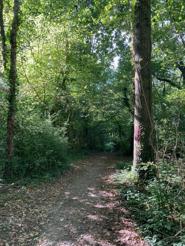
All too soon, the woodland trail led me back onto the gravel trail. Instead of heading back towards the cafe and car park, I turned onto a side trail running off to the right. This trail is part of the CC6 course. Years ago, I marshalled the turn at the top of it, so I knew it went steeply downhill. What I didn’t know was where it led from there. It seemed like a good time to find out.


Having successfully negotiated the steep trail without ending up on my backside, I found myself on a roughly paved path. I turned left, figuring it would eventually lead me back towards the car park. I hadn’t gone very far when I spotted another little side path. Of course, I couldn’t ignore it. The land dipped into the trees to my right, suggesting a nearby stream. I was peering through the undergrowth, hoping to see sparkling water, when a lady with a small dog appeared and gave me a quizzical look. I explained I was looking to see if there was a stream. She told me there was and gave me detailed instructions on how to follow it out of the park.

She warned me about a broken bridge ahead but assured me it was passable. I nodded politely and headed the way she’d told me to go. It wasn’t the direction I wanted to take, but I soon found the broken bridge and the stream. I wasn’t keen to go the wrong way or leave the park, but in typical English fashion, I hadn’t wanted to upset her by saying so. Instead, I sheepishly hung around on the bridge until I was sure she was long gone and then went back the way I’d come.

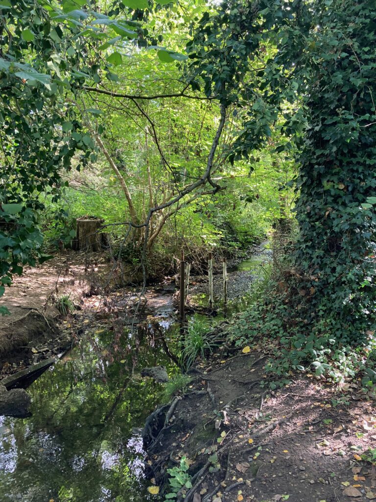
The kind lady didn’t know what the stream was called, but it was clearly a tributary of Monks Brook. It remains unnamed on the maps I’ve checked, but an OS map from the 1840s shows Marlbrook Cottage further along its course. Maybe the stream is Marlbrook. Whatever it’s called, I followed it back towards where I assumed it would join the brook. After a while, I came to another bridge, but it led away from the park again. After exploring it briefly, I reluctantly turned back.


The water looked clean and clear, although the clutch of metal poles sticking up from it puzzled me. What they were for and who put them there is a mystery. The map shows the stream curving towards Monks Brook following the line of Kingfisher Road, but the reality is different. When I reached Kingfisher Road, I discovered a culvert and had to say goodbye to the little surprise tributary.



Luckily, I found a trail that led back towards the park, right where the map said the stream should be. It took me up a steep bank and down another even steeper bank onto the park. Before long, I knew exactly where I was. It turned out to be perfect timing. I reached the gravel trail by the car park just in time to see Commando heading back towards the car.

If you like what I write, and you’re interested in my novels are available now on Amazon in paperback, on Kindle and via Kindle Unlimited. Check out my Amazon page here and my Goodreads page here. If you would like to help me keep writing, you can now buy me a virtual coffee by clicking on the little orange coffee cup at the bottom right.