
7 February 2017
According to the weatherman today was supposed to be the best day of the week, not that I entirely trust the weatherman of course. After days of rain, blue skies were a very welcome sight though and I decided to make hay while the sun was shining, or at least go out for a walk. Back in November, CJ and I went to Botley. Rain and a lack of time scuppered our plans and most of the route I’d plotted out went unwalked. Later I plotted a better one to the same destination and today was the day to walk it.
Despite the blue sky, it was chilly when we set out and the low sun shining on the wet pavements made the climb up the hill tough on the eyes. In fact the first couple of miles were tough full stop. We might have been walking on the Roman Road between Clausentum and Portia Adurni but these days it is a busy road with a great many steep ups and downs. Roman roads may be straight but they most certainly aren’t flat, worse luck. There was no avoiding the punishing hills though and they did at least warm us up.
When we reached Kane’s Hill the hard, boring miles were over and we headed along Upper Northam Drive towards the motorway bridge in good spirits. Now things were looking decidedly rural and the fun walking was just beginning. Usually, we’d carry on along Lower Northam Road towards Broad Oak and Botley but the route I’d planned took us onto the back streets, footpaths and lanes of Hedge End. Our first turn was onto Resevoir Lane, narrow, leafy and potholed, it felt as if we’d finally left the city behind.
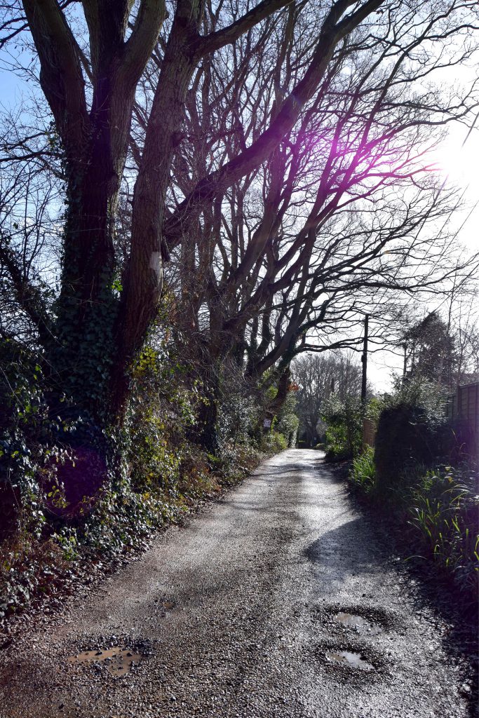
As the name suggests, there was once a reservoir here but when and what became of it is a mystery I haven’t been able to solve. These days there are houses hiding behind the trees. Despite having the route all mapped out and downloaded to my phone this was also the first place we got lost. Luckily, it was only a minor mishap, we mistook a driveway to one of the hidden houses for the next turn we had to take at the end of the lane. Our mistake was soon fairly obvious and a quick about turn followed.
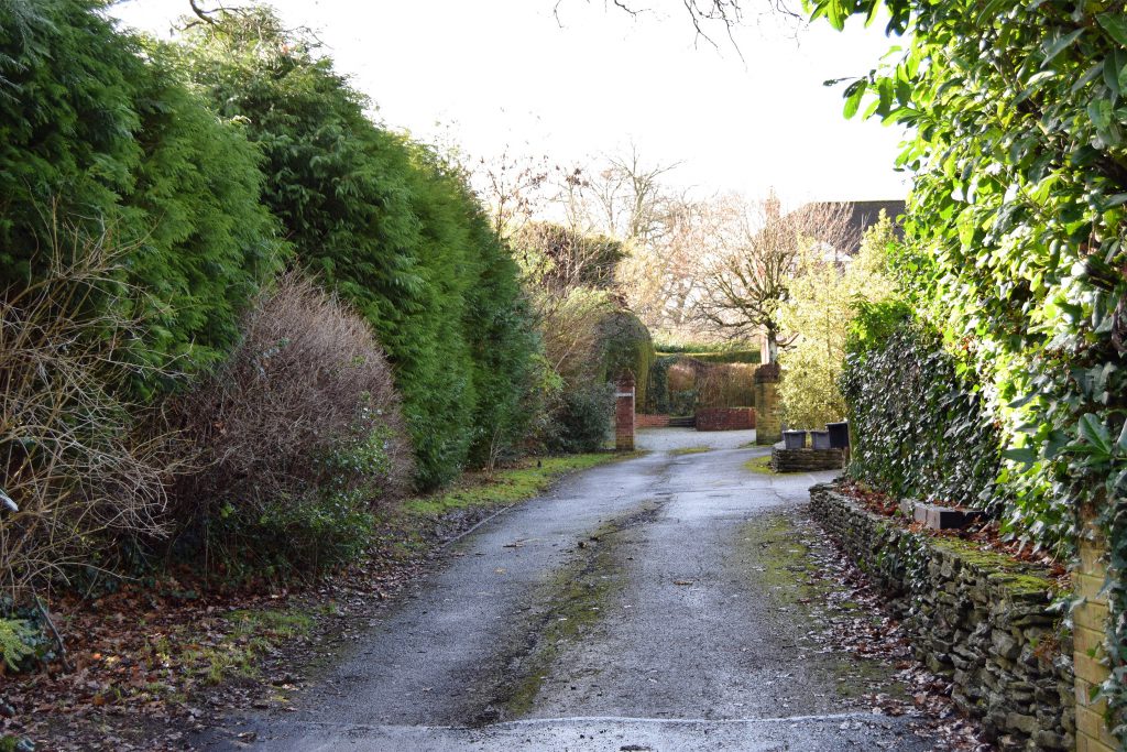
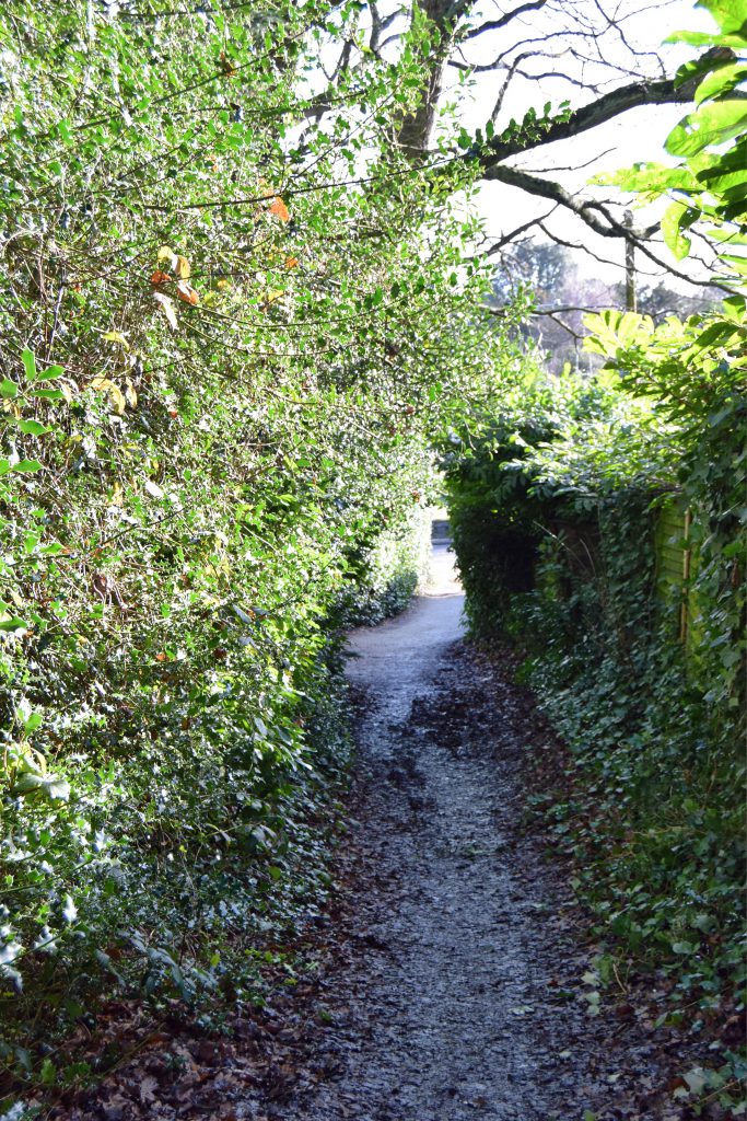
Back on Resevoir Lane, after a little confused looking around, we spotted a narrow cutway, almost completely obscured by hedges and trees. This was where we should have gone and, at the end of it we finally turned onto Granada Road and then Church Lane.
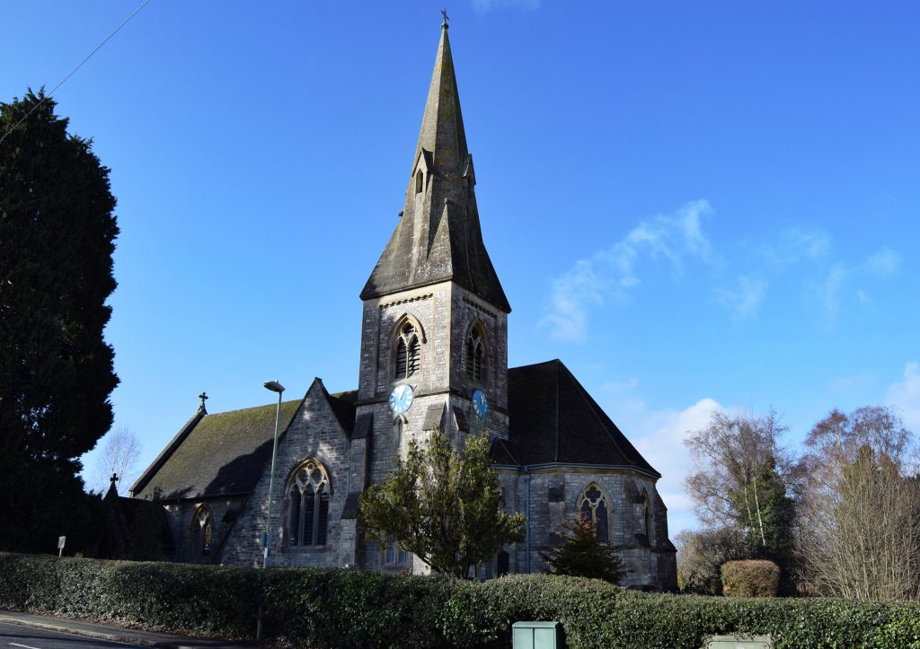
Before long we could see the spire of The Parish Church of St. John the Evangelist, the church that gives the road it’s name. Once we reached it we stopped for a moment to admire the lovely Victorian building. With more time and less walking ahead of us, we might have stopped for a closer look but, as it was, it would have to wait for another day. Built in 1874 the clock at the base of the tower was added in 1889 to celebrate Queen Victoria’s golden jubilee.
For a while we walked along quiet streets of modern houses.
“It’s going to get really rural fairly soon,” I told CJ as we headed onto Tanhouse Lane. “In the 1700’s leather tanning was an important industry in this area. In spring, once the sap had risen, the bark would be stripped off the local oak trees to be used in the tanning process. There hasn’t been a tanhouse here since the late nineteenth century but the name of this lane is a reminder that it was once here.”
The Lane begins as a proper paved street lined with houses before becoming a narrow country lane and bridleway. Unfortunately, I was so busy telling CJ about its history I completed missed the transition point. We’d walked quite a long way up Kings Copse Avenue before I realised. Being able to tell CJ the land here was once royal hunting land called King’s Forest and this was where the street name came from didn’t make him feel any better about having to retrace so many steps.
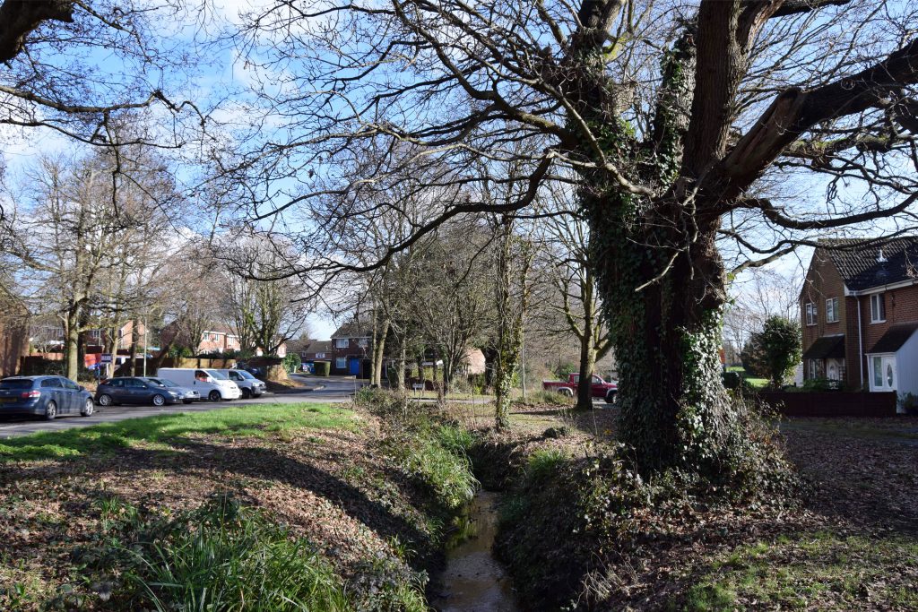
Finally we were back where we should be, walking between the houses onto the bridleway. At this point it didn’t look very promising, more like a slightly muddy cutway than a real trail. CJ seemed distinctly unimpressed, both with my navigation skills and the lane itself. Before much further though, he had to admit that things really were getting very rural. The houses disappeared and stunning views across the fields of Kings Copse Farm towards Botley and Curbridge could be glimpsed between the trees.
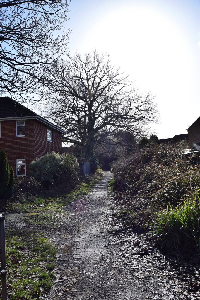
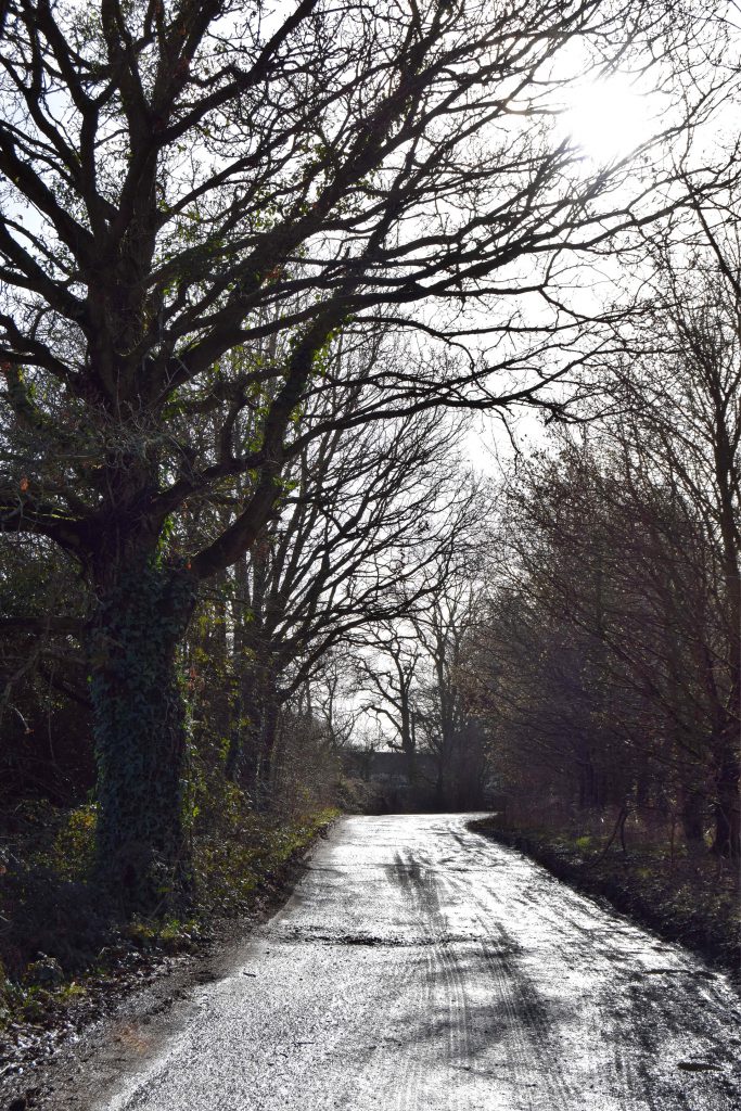

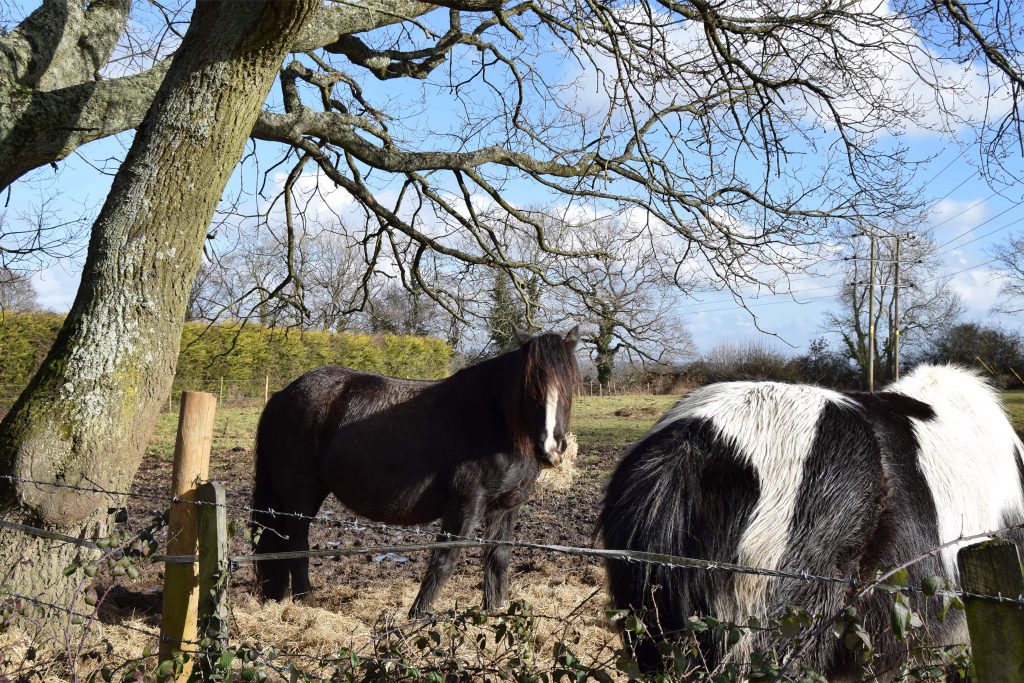
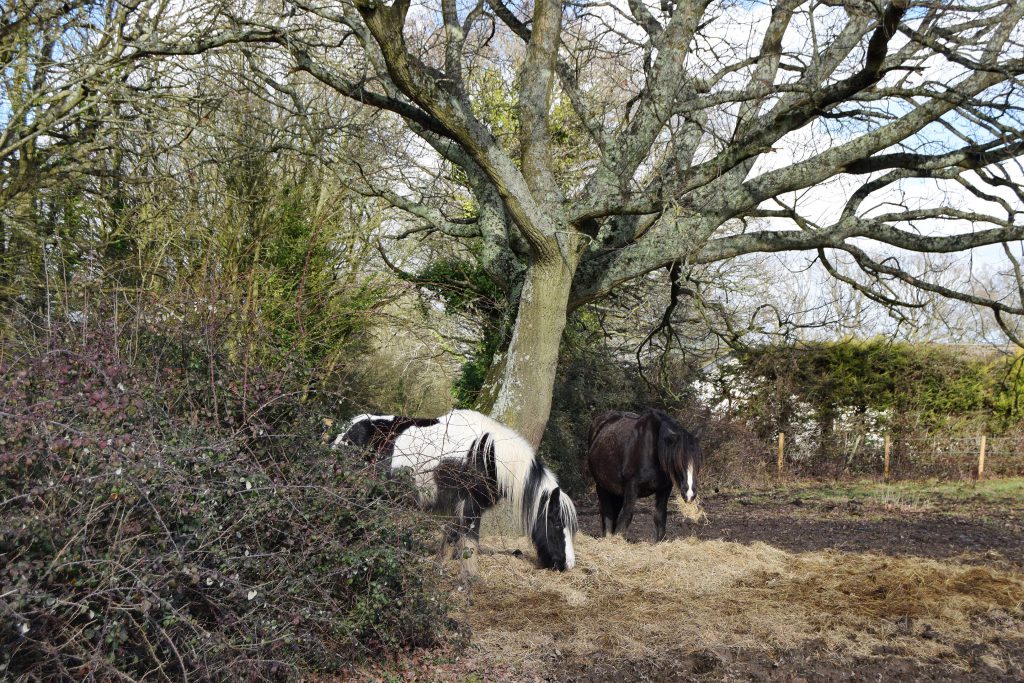
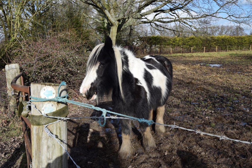
When we came upon two horses munching away on a bale of hay in one field any grumpiness at getting lost evaporated. CJ loves horses. Of course we had to stop while he petted them and took photos. Perhaps if he’d known just how much further we had to walk he’d have been more eager to get moving but I hadn’t actually told him where we were going or the distance we were walking. If I’d known exactly what lay ahead I might have urged him onwards a little more urgently.
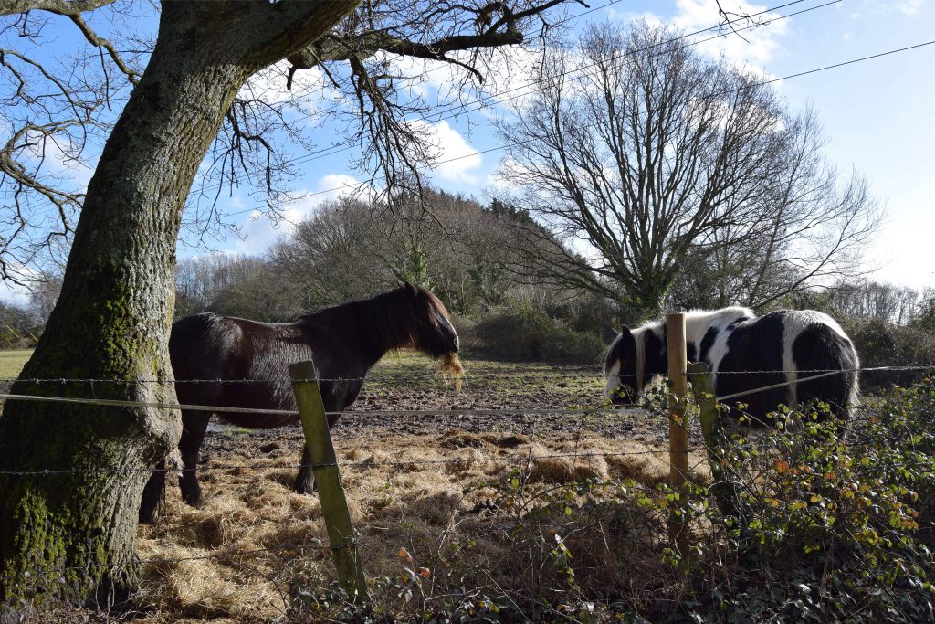
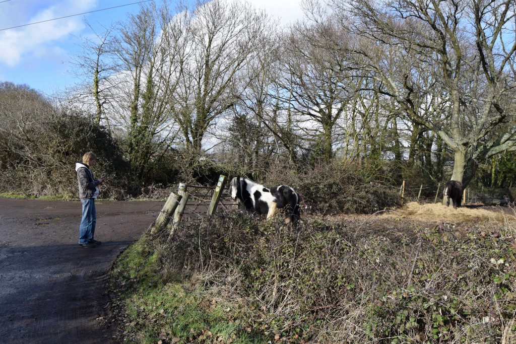
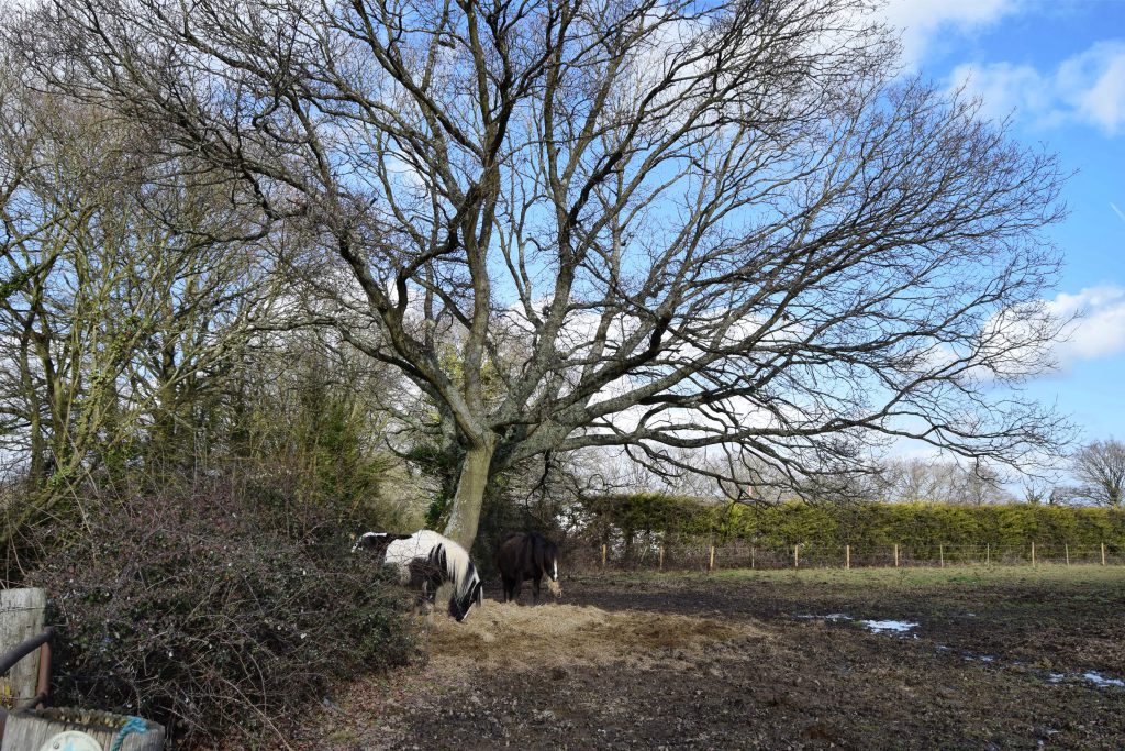
While CJ was fussing over the horses I had a quick check of the map, knowing a turn was coming up soon. It was a good thing I did because the edge of the horse’s field was our turning point. The last time I walked this way I was going in to opposite direction. In fact, that walk had not ended well. I’d got hopelessly lost and ended up walking a lot more miles than I’d meant to. This time I was determined not to do the same thing.
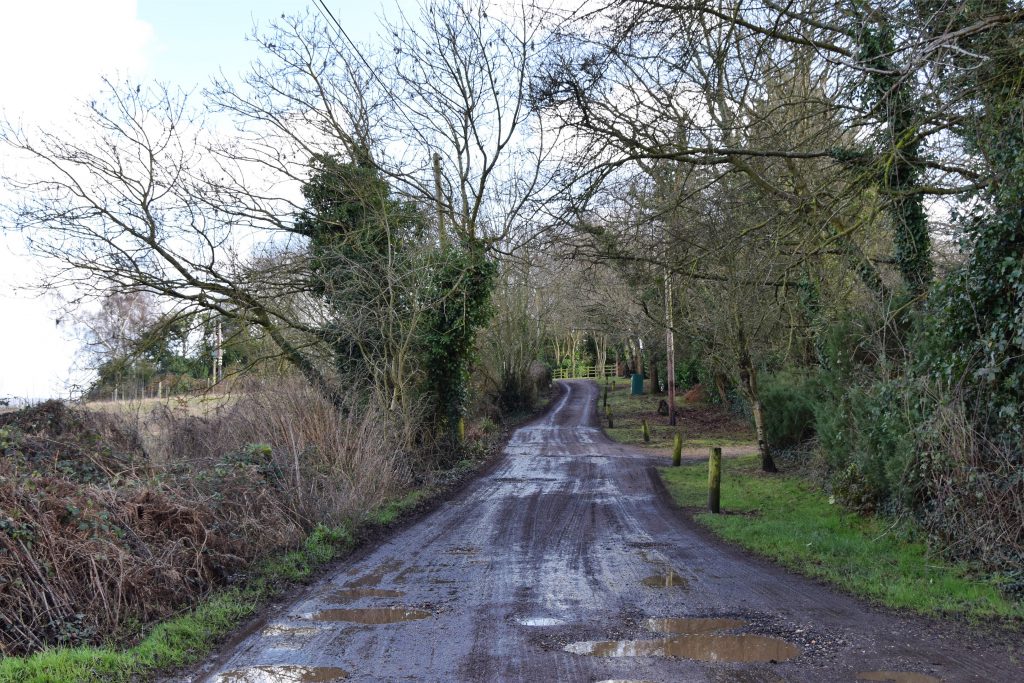
In the end, getting lost was not the problem at all. The problem was mud, deep, squelchy mud, on the final part of the lane. One minute we were on a firm, if potholed and puddle ridden track the next everything ahead of us was deeply rutted and muddy. We did our best to pick our way across the firmest, driest bits. This entailed walking very slowly, testing each step and zigzagging back and forth across the trail. Water was actually running down the ruts like a stream and, in some places, there was nothing for it but to carefully walk through the worst of it.
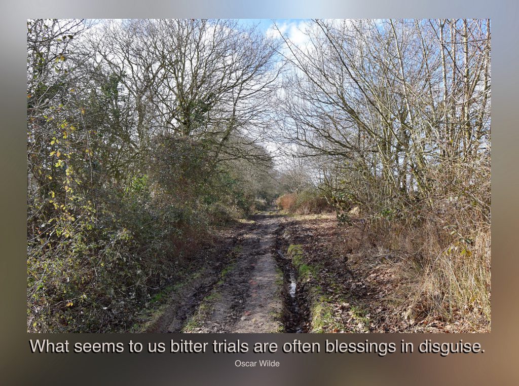
On one little island of firmish ground I stopped to take a photo. It really doesn’t show how bad it was at all. As if the mud wasn’t bad enough, most of the driest routes entailed tussling with the brambles and prickles at the edge of the trail. At some point along the way a piece of bramble broke off and somehow made it into my boot. There was nothing for it but to keep going, although I could feel it digging into my foot with every step. Getting it out would mean sitting down and taking my boot off and there was a decided lack of places to sit. The views were lovely though, if a little wet.
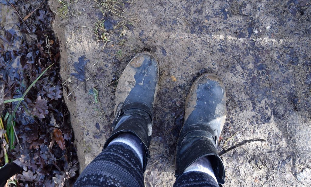
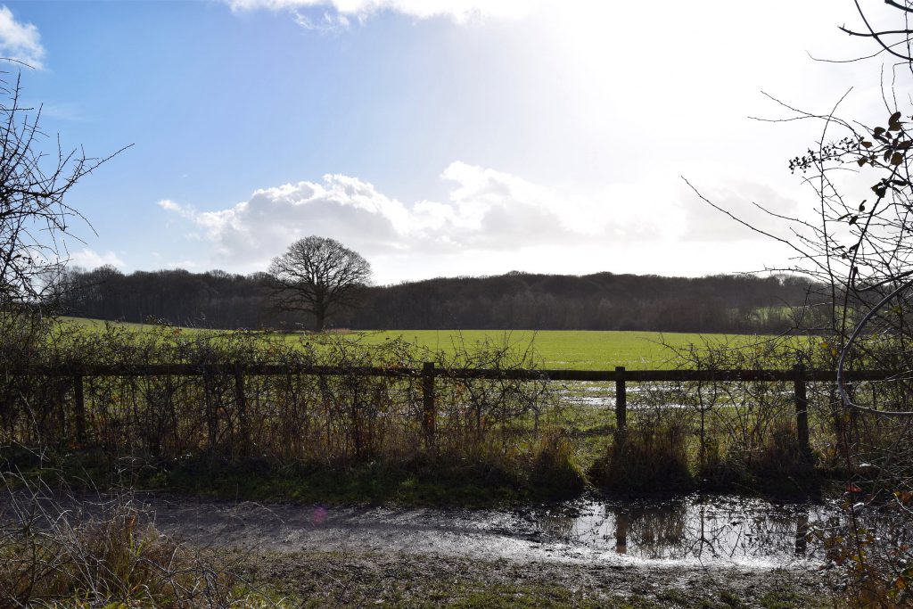
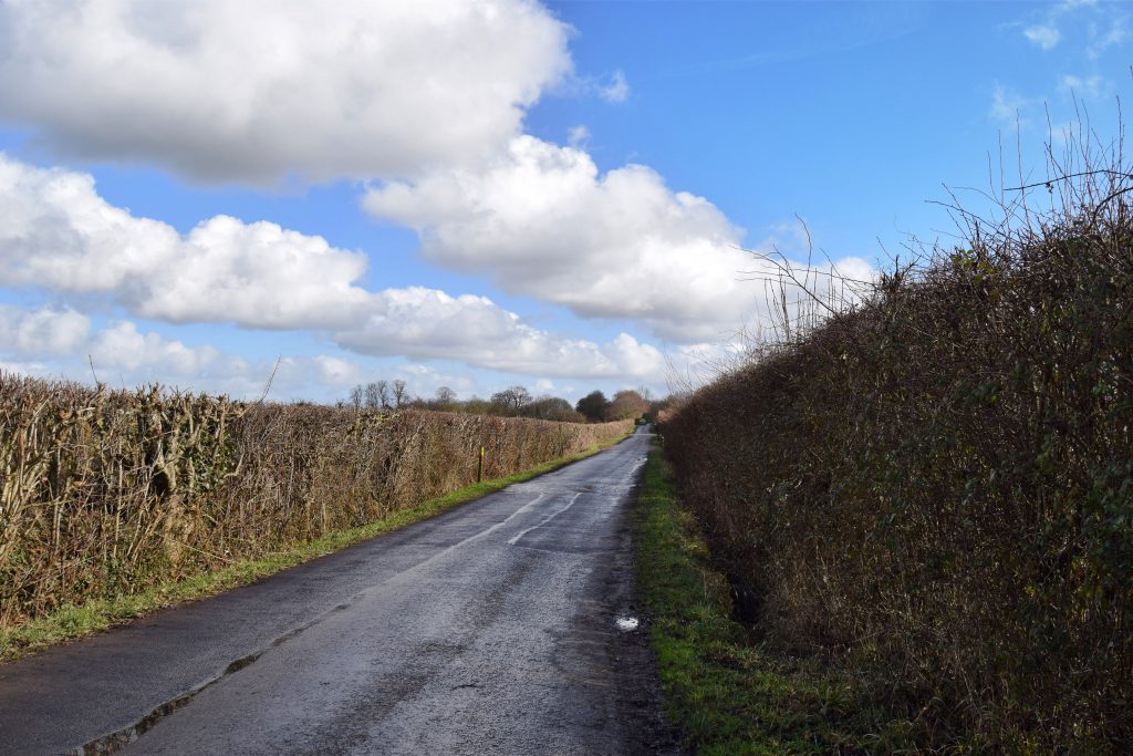
Even when we got off the muddy lane and onto the Manor Farm Country Park Road there was nowhere to sit. The road was wet. The verges were muddy. I limped on with the bramble pricking at my foot, feeling like a huge branch laced with razor blades. This did not bode well for the rest of the walk.

Please see my copyright information before you copy or use any of the above words or pictures.
Poor you with brambles and mud, whatever next!
Wait until you see where we ended up though. It really was worth all the trouble 🙂
Bloody place needs a damn good tidy up, overgrown trees, brambles, ivy etc etc and most of it growing up and over my fence but nobody will take responsibilty for it, and worst of all a local councillor who lives just not interested. !!!
I guess, if it’s a private, unadopted road, the residents are the ones responsible for the upkeep. Maybe a resident’s association is the way forward?
Dead right about the Brambles, the bloody stuff is everywhere, disgusting state of a private unadopted road and nobody taking responsibility for it’s upkeep.
That looks like a beautiful day, but the mud! And a bramble! I don’t think I’d walk a single step with a bramble in my boot.
It was the best day of the week but the brambles caused me a lot of trouble.
Oh, dear.
Even a tiny grain of sand can cause foot trouble on a long hike. I don’t want to think about what a thorn could do!
It looks like you had a beautiful day for walking though.
It was agony and left me with a very nasty blister but the walk was well worth it.
I love your paths – even the muddy boots – and the skies, wonderful!
We do have some wonderful trails. Better when they’re not quite so muddy though.
Local councillor lives there and she ignores all kinds of contact apart from one visit weeks ago when I stirred the Pot, but still nothing done. !!