
16 August 2015
Before I prised myself off the bench in St Bartholomew’s churchyard I spent a moment or two looking at Google Maps on my phone. If I walked back to the road and carried on along Brook Lane I knew I’d end up on the other side of the village near Broad Oak. It would be a simple matter to return the way I came, a tried and tested route. That would have been a little boring though and my initial plan had been for a circular route. My main problem was that the church hadn’t been quite where I’d expected it, or at least the paths leading to it hadn’t. That’s the problem with satellite maps, things look far different on the ground. If I walked through Manor Farm it looked as if I could get to Tanhouse Lane and, from there, eventually, back to Bursledon Road. In hindsight it may have been a touch on the ambitious side.
There was a possibility that I’d have to pay to enter the Country Park and there was also a huge temptation to take the easy way out. When I walked through the church gate back onto the lane I was still in two minds. The deciding factor turned out to be a sign with a strawberry on it telling me the Hamble Valley Strawberry Trail went through the park. There’d be no need to scrabble around in the bottom of my bag for money and, if I found I couldn’t get onto Tanhouse Lane, I could always turn back having lost nothing but a little time.
The park, which covers four hundred acres, opened in 1979 and the farm museum in 1984. If I wanted to see the farm I’d have to pay and I didn’t really have time so it will have to go on my list of things to come back and see. There always seem to be plenty of those on every walk. The first thing I passed was the ancient duck pond which is right behind the church. Both church and pond were mentioned in the Doomsday Book. Fed by rainwater it is still, apparently, home to ducks although I didn’t see any.

Not far along the gravel path I came to some interesting looking buildings. As I came level with the first, the view through the windows with their crooked iron bars and festoons of cobwebs intrigued me. All kinds of interesting looking tools were hanging up along with pieces of wrought iron work. There was a small fire, a water trough and an anvil. It looked like a blacksmith’s and I longed to go inside. The next building was painted pink where the first one had been green and the door was open. This looked like the smith’s shop and there were men inside talking. As I hadn’t paid for my visit I felt bad about disturbing them so walked on. Later I read about the Blacksmith’s forge, moved from Hedge End in 1986, and I’m guessing this was it. My resolve to come back was growing by the second.


Across the lane I could see people wandering around the farm looking at the animals and got a glimpse of the thatched barn, built, according the the online pamphlet I found, in the late 1500’s and used to store and thresh corn. For a moment or two I thought seriously about paying my money at the gate and joining them. In the end, the miles ahead of me and the time they would take to walk stopped me. After taking advantage of the toilets, which were handily on my side of the gate, and one last longing look at the forge, I set off into the unknown.


This museum really was once a farm and was in the heart of the old village and I was sad to be leaving it behind without exploring it. As I came out the other side into the lane I was actually stepping onto the remains of an old Roman road that once led straight to Clausentum, my village. What a pity it wasn’t still there, then my walk would have been easy. In fact there were two lanes at right angles to each other and, having completely lost my bearings, I took the wrong one. A family came through the gate behind me and I let them pass, feeling a little miffed that I wouldn’t have the lane all to myself.
After about two hundred yards I began to suspect I’d taken a wrong turn, my memories of the map told me there should be a road running beside the lane and there was no road in sight. It was time to stop and consult Google Maps once again. Soon I was retracing my steps onto the right lane and sure enough, behind the trees and shrubs, there was a road running parallel to it. Better still I was all alone again.
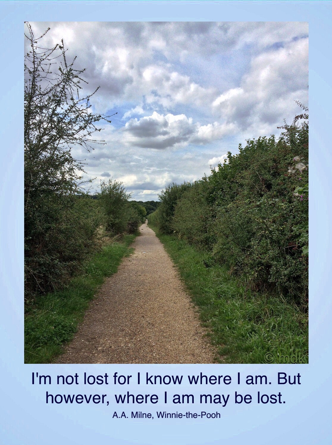
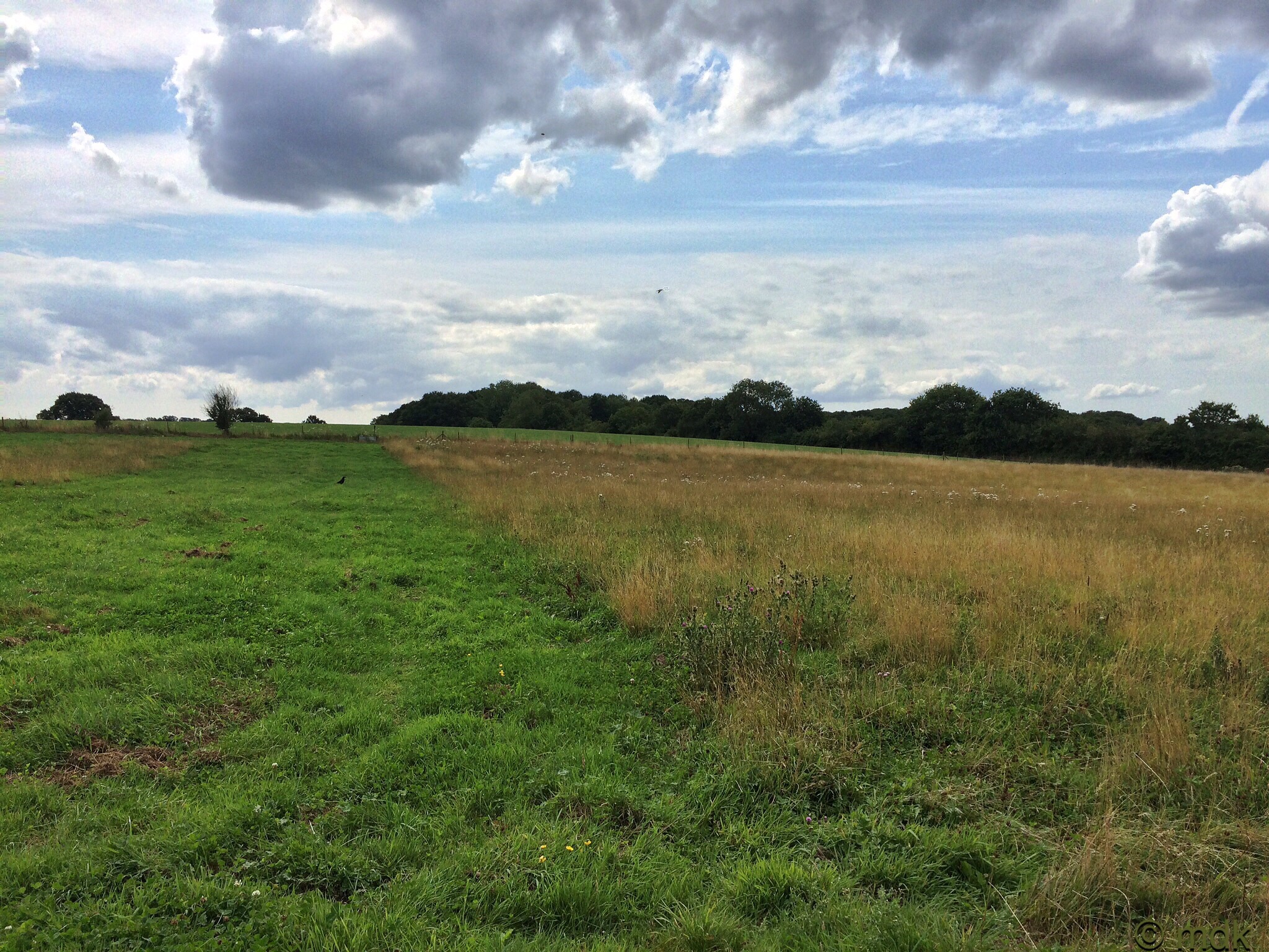
Feeling much happier I lost myself in the sights and sounds around me. Thistles were going to seed, the fluffy parachutes we called fairies when I was a child drifting across the track in front of me. Bees were buzzing, birds were singing and the sun was shining. It seemed that all was right in the world as I crunched along, adding to the sounds of the countryside. Beside me there were crows in fields with drifts of wildflowers.


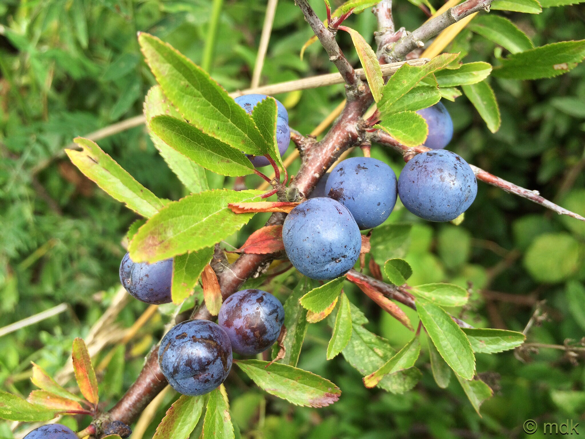
Despite my desire to keep moving and get home to my lunch I couldn’t help stopping to look at the juicy looking sloes on the blackthorn. Then there was willowherb both pink flowers and long thin pods bursting open to reveal fluffy seeds plus more yellow fleabane at the base of the hedgerow. The map told me I had to turn off this trail and onto another after about a fifth of a mile but I was so enraptured I’d completely forgotten until I came to a gate. For a moment I feared I’d gone too far again but a quick look at Google Maps told me the gate was at the exact place I needed to turn off. This was a real stroke of luck or I’d have ended up at the River Hamble heading for goodness knows where.



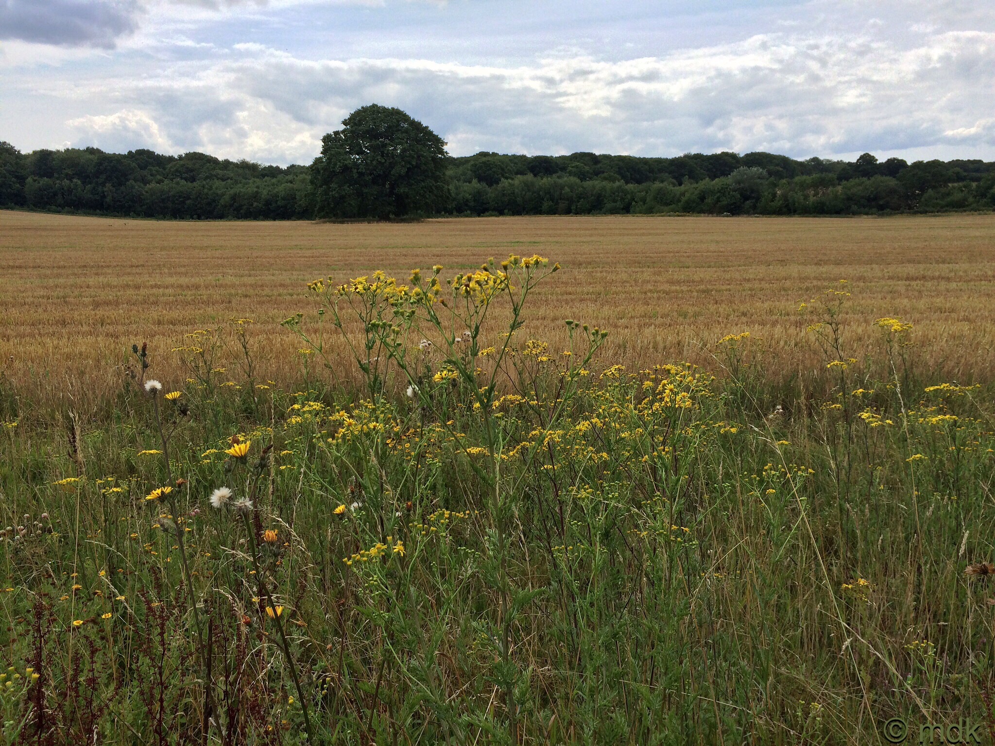
Pretty soon I was on Tanhouse Lane passing large expensive houses with huge automatic gates and fancy cars on the drives. To my right there were views over the fields of Kings Copse Farm and the distant outskirts of Hedge End. The path was steep at first and I began to get a little overheated. This was the point I checked the map again to see how far I had to go before I reached Heath House Lane and another turn. Google Maps uses a lot of battery and I noticed my phone charge was getting a little low so I stopped to grab a battery pack from my rucksack, along with the cable to connect it. This would have been all very well had the cable actually been in my bag. Obviously I’d forgotten to put it back when I charged the phone before I set out.


There was some frantic searching to make sure the cable really wasn’t there and a fair bit of cursing at my own stupidity and all the unnecessary map looking and Googling so far. I’m pretty sure I’ve done the same thing before so I should have learned my lesson. All was not lost because I still did have some charge left and, once I got onto Heath House Lane, I should be able to find my way fairly easily. Obviously I would have to be sparing with my photo taking and map looking for the rest of the walk, or until I knew exactly where I was, whichever came first.
Now I was passing farms with horses in the fields. Despite the battery situation I couldn’t resist a picture. Here the track turned from Tarmac and gravel to dirt. It was badly rutted and uneven so I had to watch every step. Thankfully it wasn’t long before I came out into the road. This was when I thought all my problems would be over. Sadly, I was wrong.


Heath House Lane had no footpaths, a lot of fast moving cars and a bend, not a winning combination in my book. A very quick look at the map told me there was a street running parallel to it that would be quieter and would lead me past the worst of it. It looked a little longer as it meandered round the houses but I felt it was a small price to pay for not getting run over so I set off along it. This might have been all well and good had some idiot not built a housing estate there since the last Google Map update. I was lost again.
There was nothing for it but to look at the map yet again, using my precious battery as I did. Just as I thought I’d worked out where I was and how to get to where I should be my phone rang. It was Commando asking how I was getting on and how long I was likely to be. I confess I was a little short with him. Feeling stressed about the battery situation and desperately trying to follow what I thought was the right path notwithstanding any more new houses between me and my objective I simply said, “Can’t talk. I’m lost somewhere near Heath House Lane. Phone battery is running out and I’m trying to look at the map.”
“Do you want me to drive out and pick you up?” he asked.
“That would be great if I knew where I was,” I snapped. “Don’t worry, I’ll find my way back somehow.”
Every walk has to have a low point and this most certainly was it.
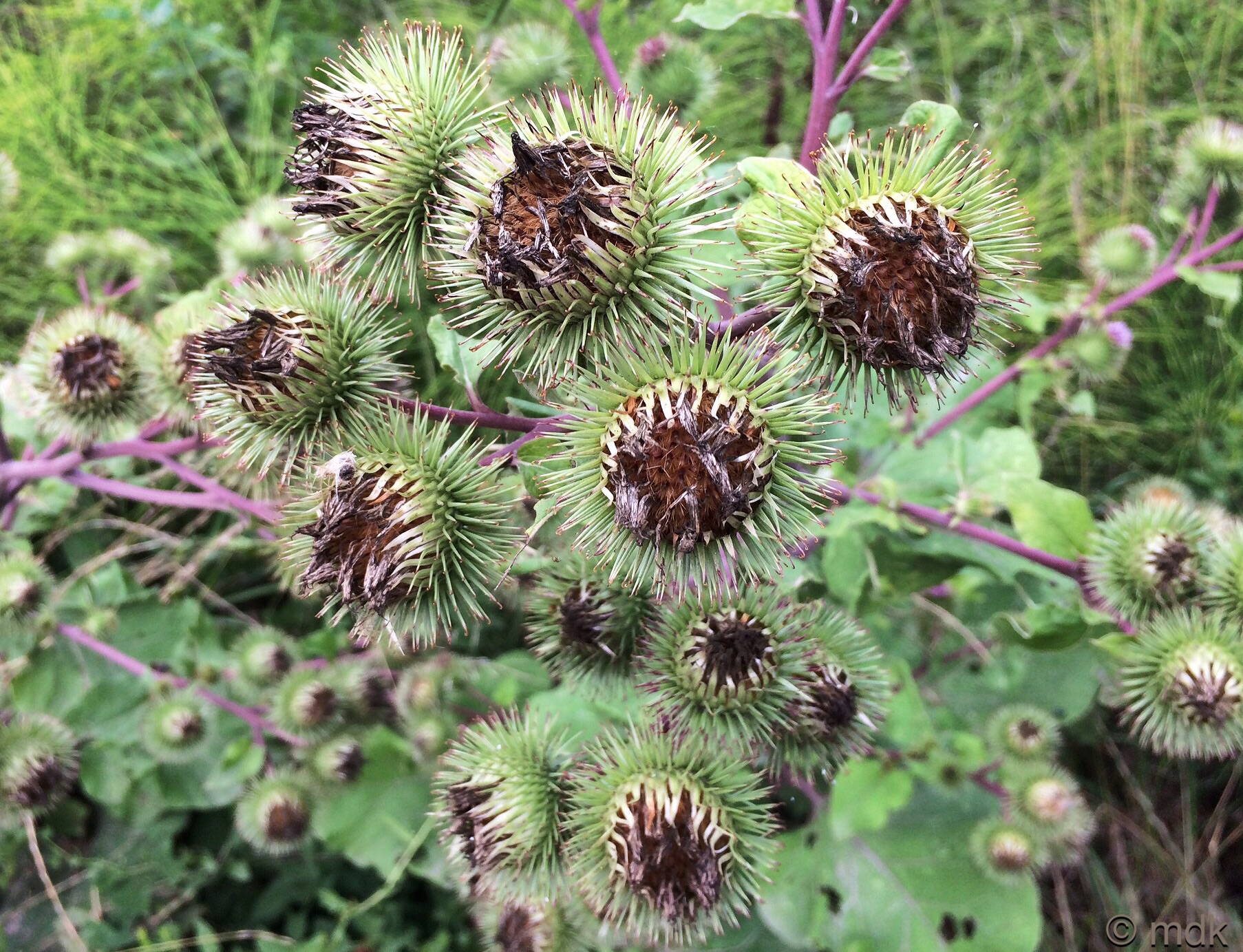
Thankfully I did find myself on Heath House Lane again not long after that and it had a footpath at this point. There was another quick map check to make sure I was going the right way as I took Foord Road onto St John’s Road. From there I was almost home and dry. Over the motorway bridge onto Botley Road the route began to look familiar and I even stopped to take a photo of some burdock going to seed and to call Commando and apologise for snapping to tell him I now knew exactly where I was.
Finally I was on Bursledon Road with just the three steep up and down hills between me and my village. Those hills are killers at the best of times but ten miles into a walk they are a bad plan. As I walked I grumbled to myself for being so stupid. How could I have left my charger cable at home? How could I have got so lost so easily? Whose bright idea was it to get rid of the Roman Road? Most of all what was I thinking to plan a twelve mile walk with three impossible hills right at the end. The sight of the village appearing in front of me as I came to the summit of the last hill has never been so welcome!
I had my eye on the clouds in these photos – glad the lost was found once again!
I had my eye on them too! I had a horrible feeling it was going to rain.
Lovely landscapes and the sloes looked delicious. Do you make sloe gin?
I don’t make sloe gin but the sloes almost made me wish I did.
Marie, getting lost is never fun, particularly when it extends your walk and you finish with hills. I hate sets of hills where it just seems that you walk up to walk down, walk up to walk down… But from you photos it looks like an interesting walk, and at least it didn’t rain. ~James
Southampton is very hilly. Those three hills one after the other seem never ending and I should have known better than to have them at the end of a walk really. The rain stayed away though so it wasn’t all bad.
You’re lucky to have a lot of interesting walks just short distances away from where you live. Here I have to drive first and then walk, or walk on the side of a very busy road.
I wish we had those clouds here!
There are a lot of public footpaths around Hampshire although there’s often a bit of road walking to get to them. Those clouds brought rather a lot of rain later in the day.
The farm is a great day out, I would recommend going when they have one of their WW2 days or some other event to make it even more fun.
Did you watch BBC Wartime Farm, they filmed it at Manor Farm and some of the rooms are kept as they were in the series inside the cottage.
I’ve got a leaflet at home which shows routes for 5 walks in Bursledon, some very short, have tried to find a link online but can’t. I’m sure I picked it up in Eastleigh at the museum but I’ve had it years, got one for Botley leading out to Durley Mill. Can photocopy them for you if you like, may help with future ideas.
Lisa x
I didn’t see the Wartime Farm program but I did know it was filmed there. I will certainly be going back to have a proper look round though. If you could copy the leaflets I’d be really grateful. I’m always looking for new walk ideas 🙂
It’s funny because I use Google maps and my GPS (plus printed maps) a lot when I am out touring. They frequently try to send me onto private roads or down class IV roads which are closed for one reason or another. Frustrating! Glad you finally made it home.
I do like Google maps because you can often spot footpaths that aren’t on the normal maps. The problem is these do sometimes lead me astray. Still getting lost often takes me to new places I didn’t know about and some of my best walks have come about when I’ve got lost. The good thing about the GPS is you can always find your way in the end with it 🙂
I am addicted to paper maps even though they get out of date. I have a program with every 1:50000 OS map of Britain on it and can print out a section before a trip.
I do have the online OS maps that I can print out but I find Google Maps really useful when I’m out and I’m not sure which way I’m headed or where I actually am. I’ve just spent a day in Bristol with a completely planned out itinerary but Google Maps came in handy a couple of times when we couldn’t see street signs and things got a bit confusing.
Now I know where to pick my berries to make sloe gin – if I could ever find the bushes in your photos.
There are usually sloes along the river path at Chessel Bay. You have to be quick though, they disappear fast.
Oh! Thanks
🙂