29 July 2015
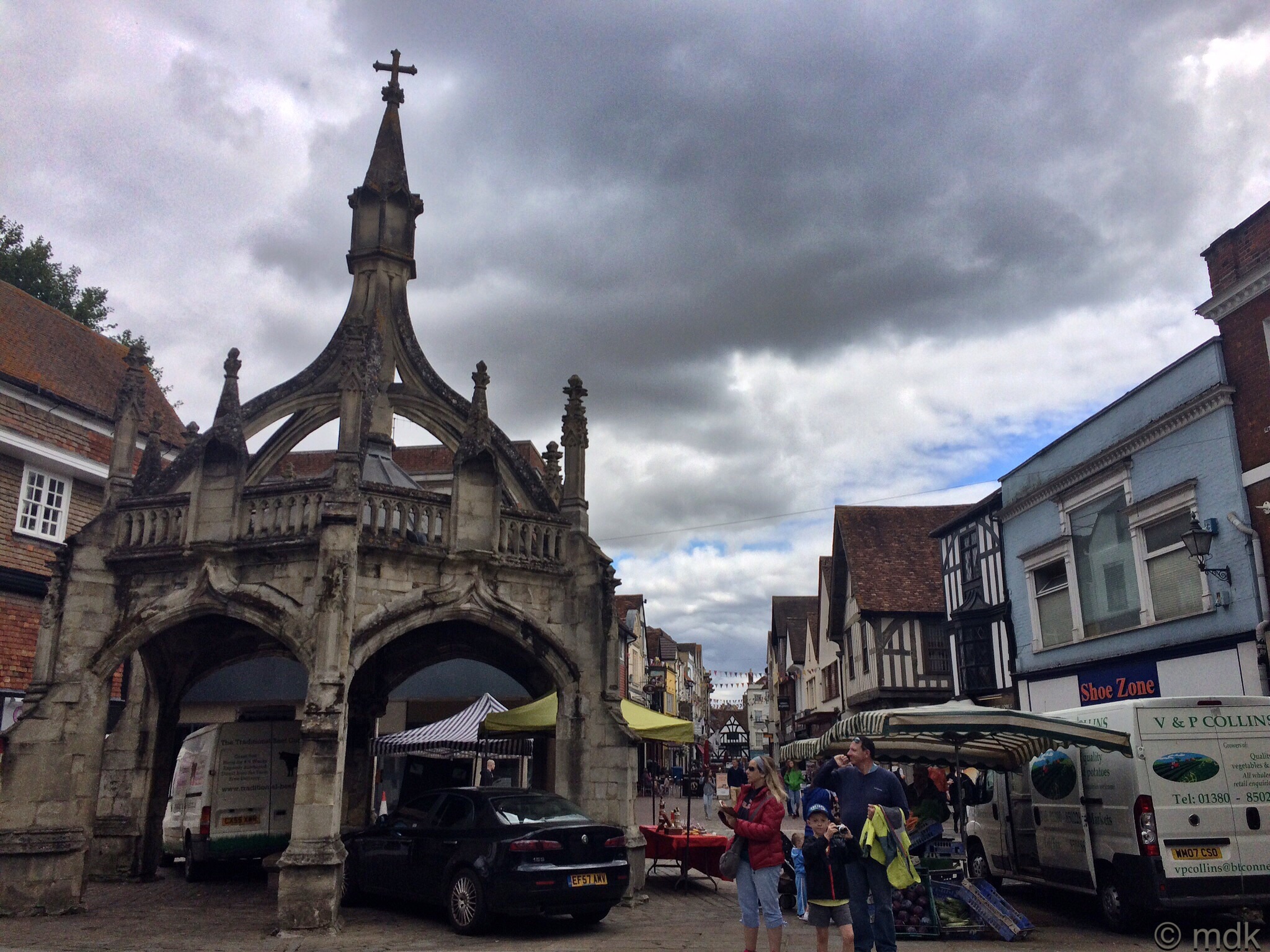
We left Salisbury Catherdral with a plan but, as we walked through the town, I began to wonder if we’d done things the wrong way round. Order is everything and it seemed that we were putting the first last and had seen the last first. We passed the fourteenth century Poultry Cross, marking the site of the old markets and it seemed we were walking back in time. In a way we were because we were heading north, back to the beginnings of Salisbury, Old Sarum.
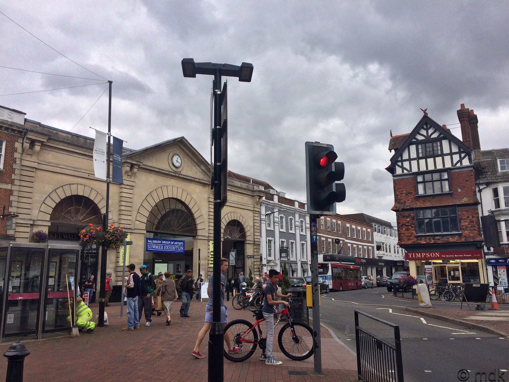
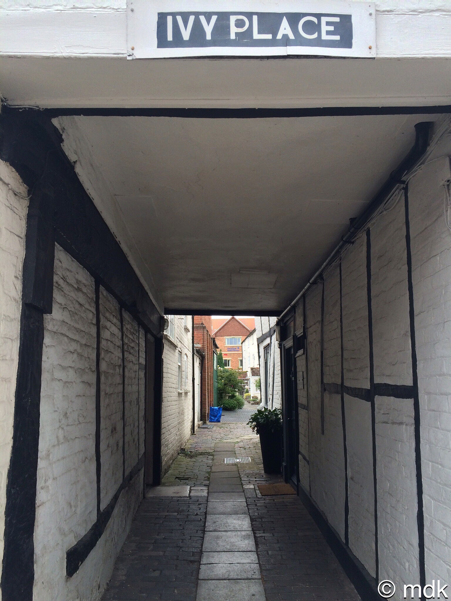
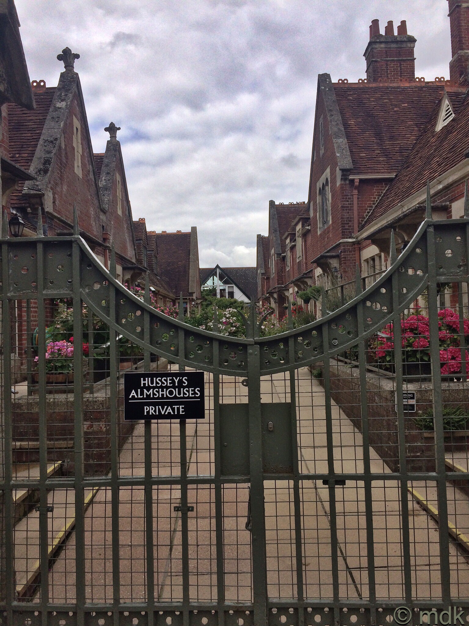
The difficult part was always going to be getting out of this town filled with ancient buildings and quirky shops. We followed my written directions, stopping from time to time to peer down intriguing alleyways and over sturdy gates. We’d spent far too much time in the cathedral to stop and look at the things that called out to us so all we managed were snatched photos and wonderings. Taking the straightest route we hardly noticed the old buildings slowly giving way to more modern houses.
Almost impreceptibly the the houses got further and further apart, the scenery more rural. The blue sky we’d hoped for was disappointingly absent, covered in a thick layer of swirling dark cloud. Rain looked like a distinct possibility and I tried to take CJ’s mind off it with tales of my biking days.
“The lad I was going out with was a member of a bike club called Sarum Bikers,” I told him, wondering if the club still existed and knowing they’d all be middle aged, probably grandparents, by now.
As I waffled on and CJ pretended to listen the houses to our left gave way to fields and views of distant hills. Suddenly we could see an odd shaped hill in front of us. It seemd to rise in layers from the green fields around it. “I think that’s it,” I said although it didn’t seem we’d been walking long enough.
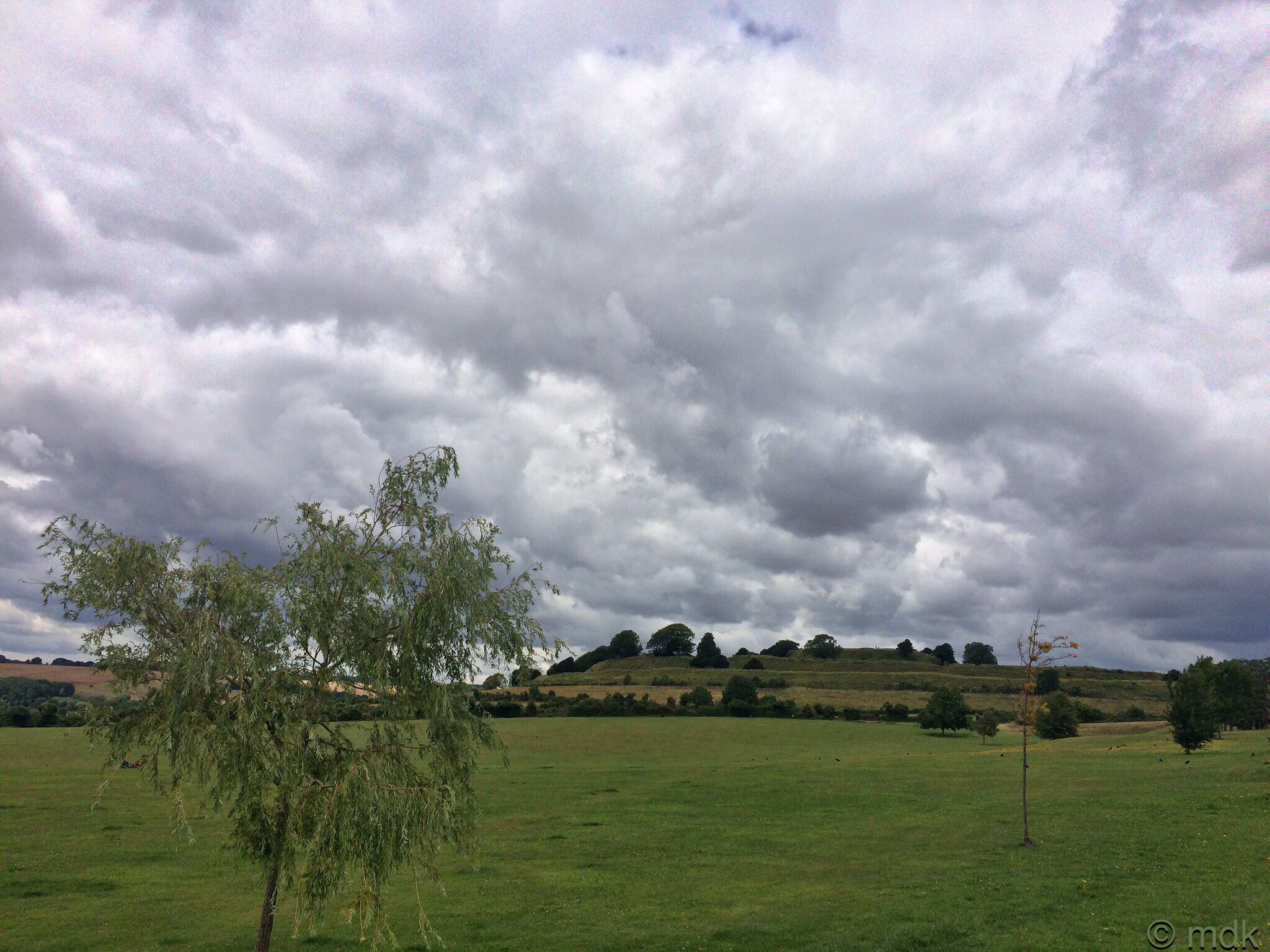
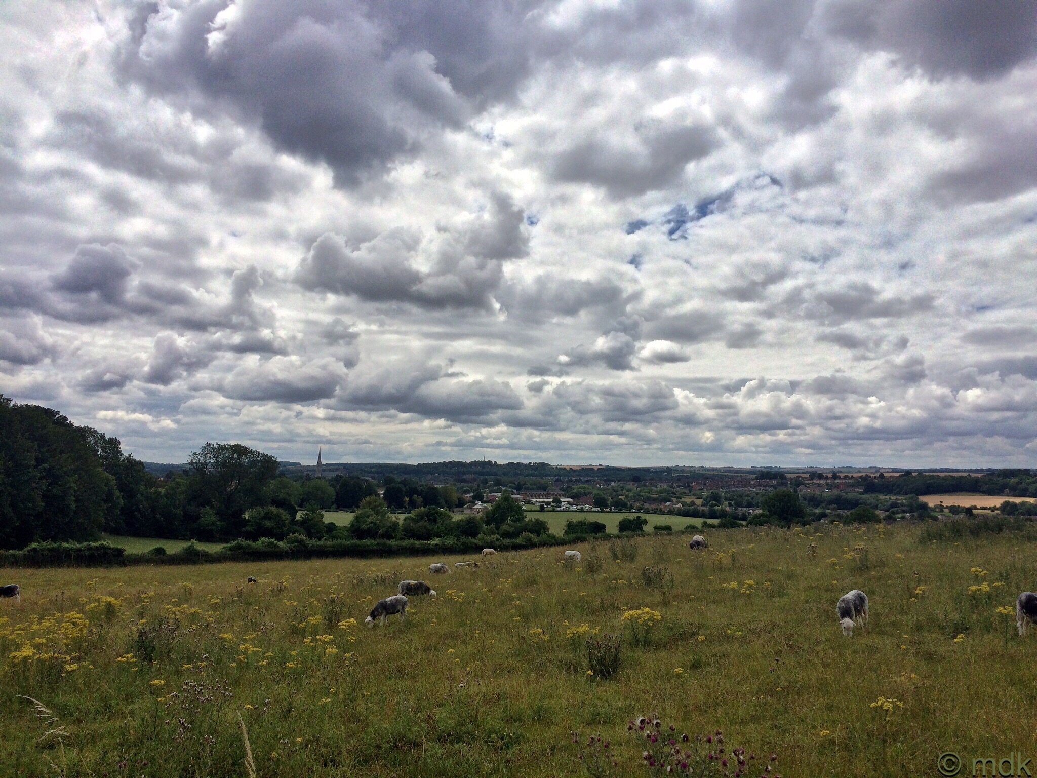
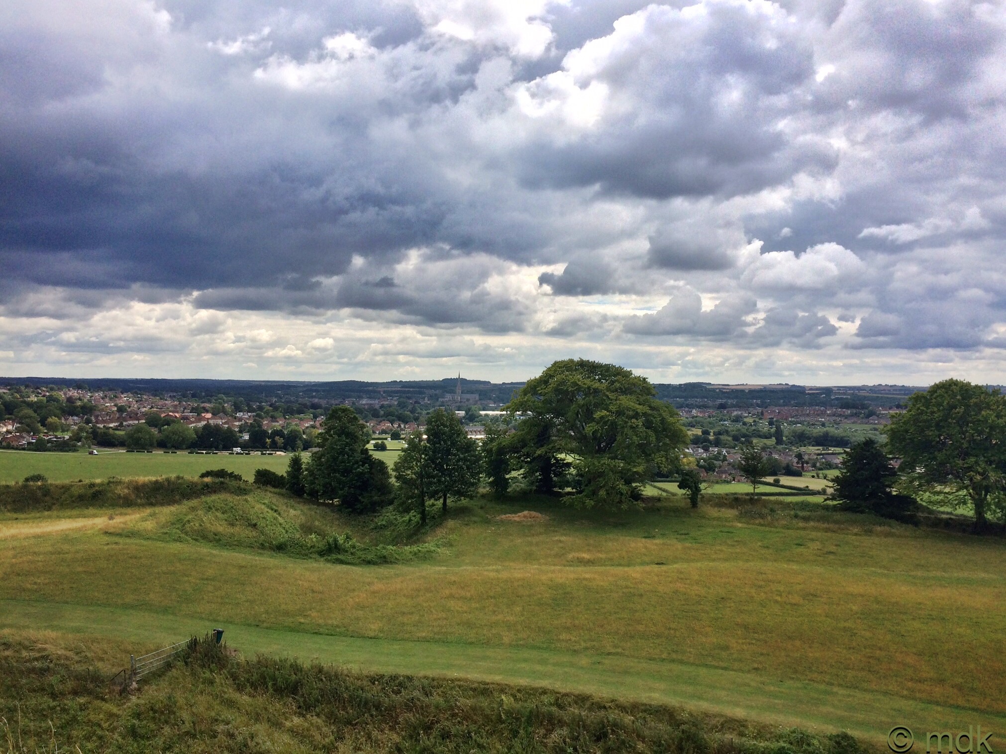
Pretty soon it was obvious we had found the right place. There were sheep, all mottled patches of black and white, grazing in the field below the hill and clumps of yellow wildflowers, maybe ragwort, it was too far away to see. I grasped around in my memory banks trying to remember what kind of sheep they were, I knitted a jumper from their wool once, but the name escaped me. In the distance we could see the new cathedral spire and the city of Salisbury.
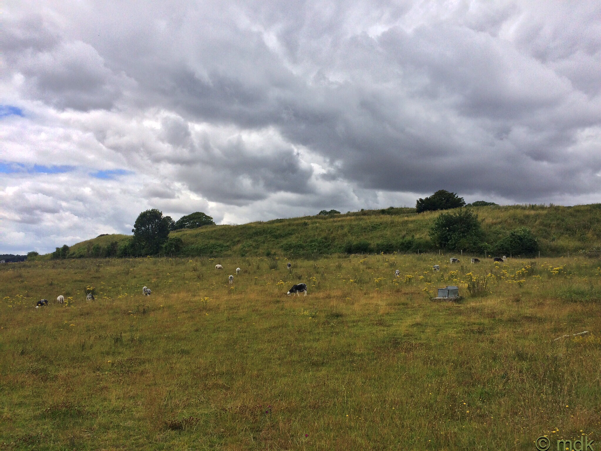
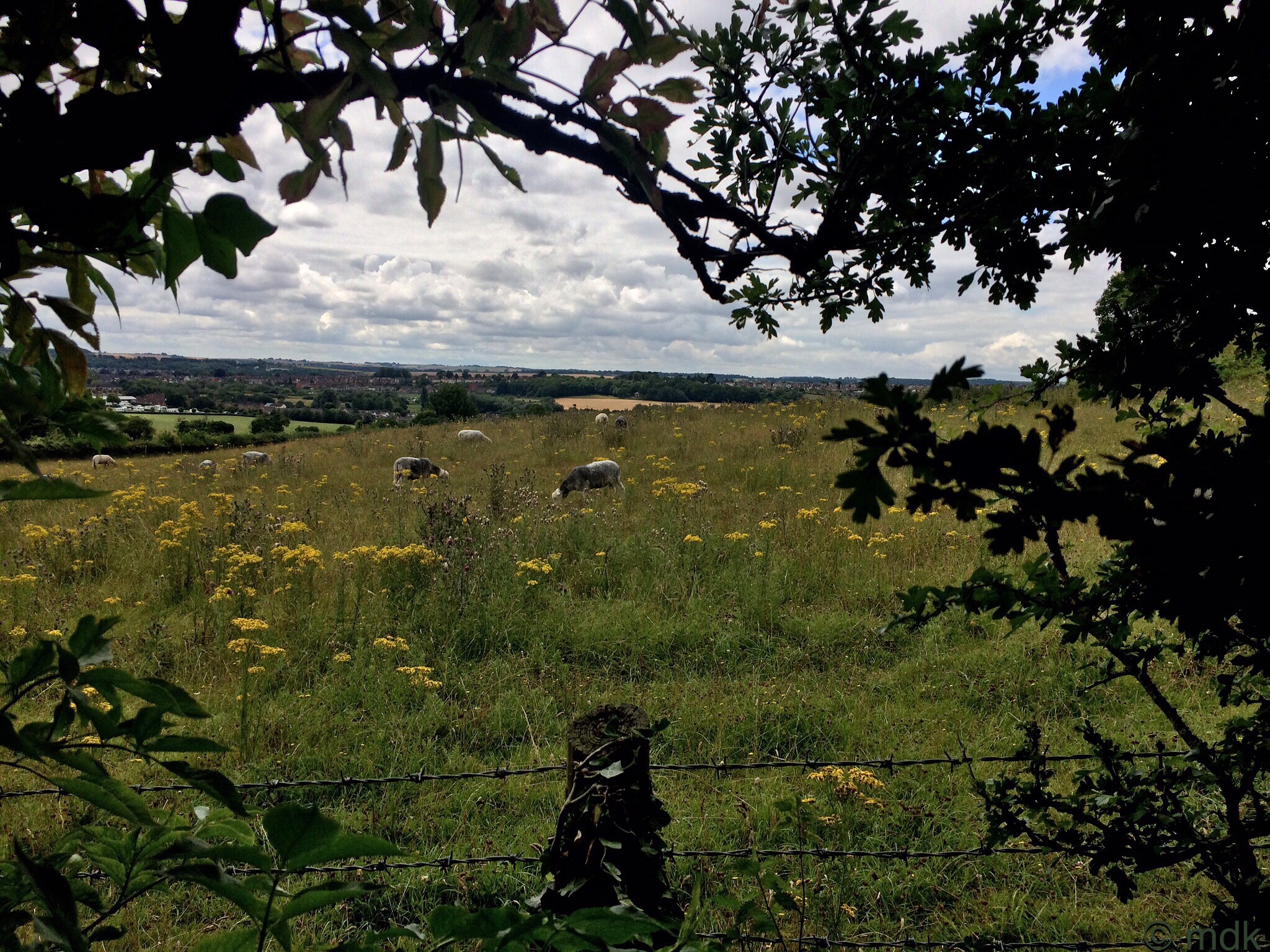
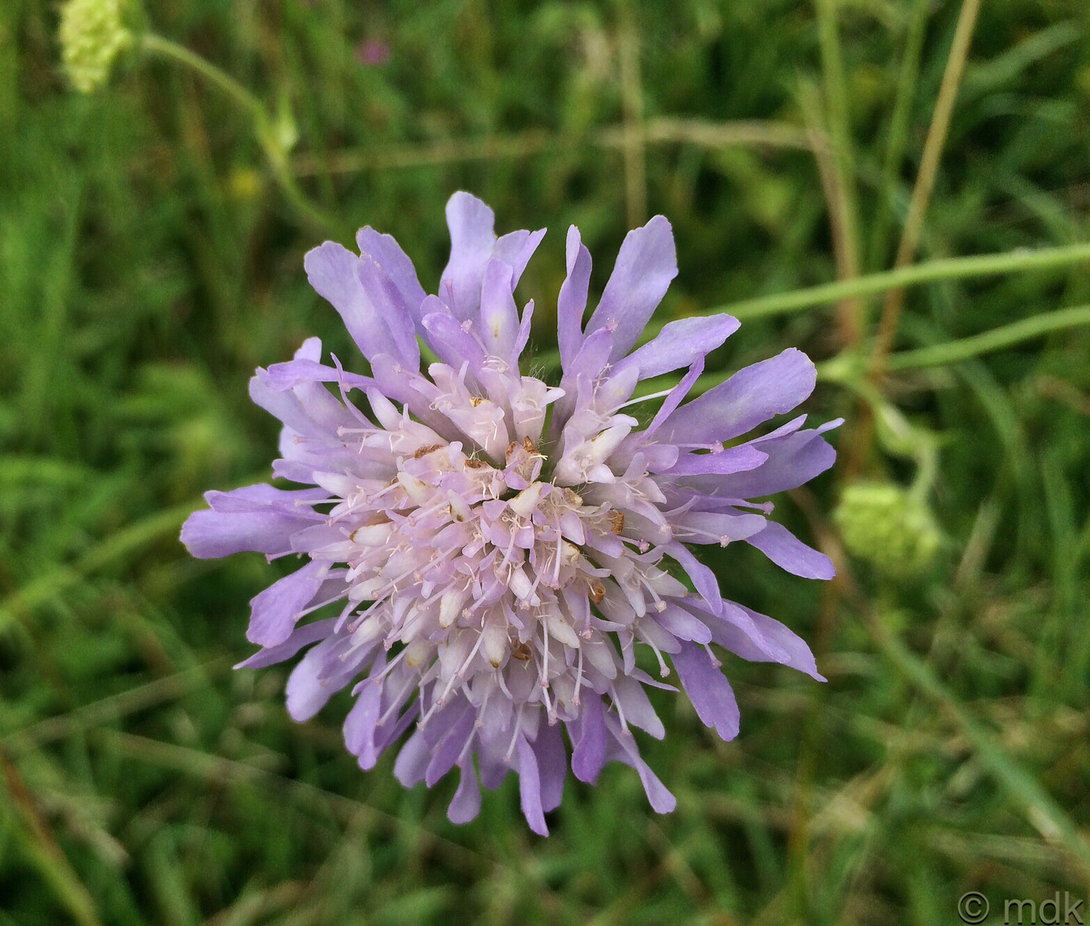
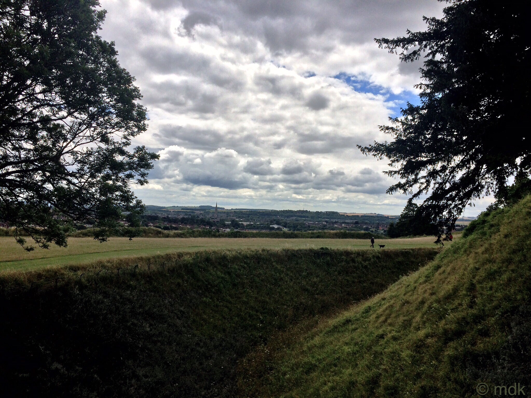
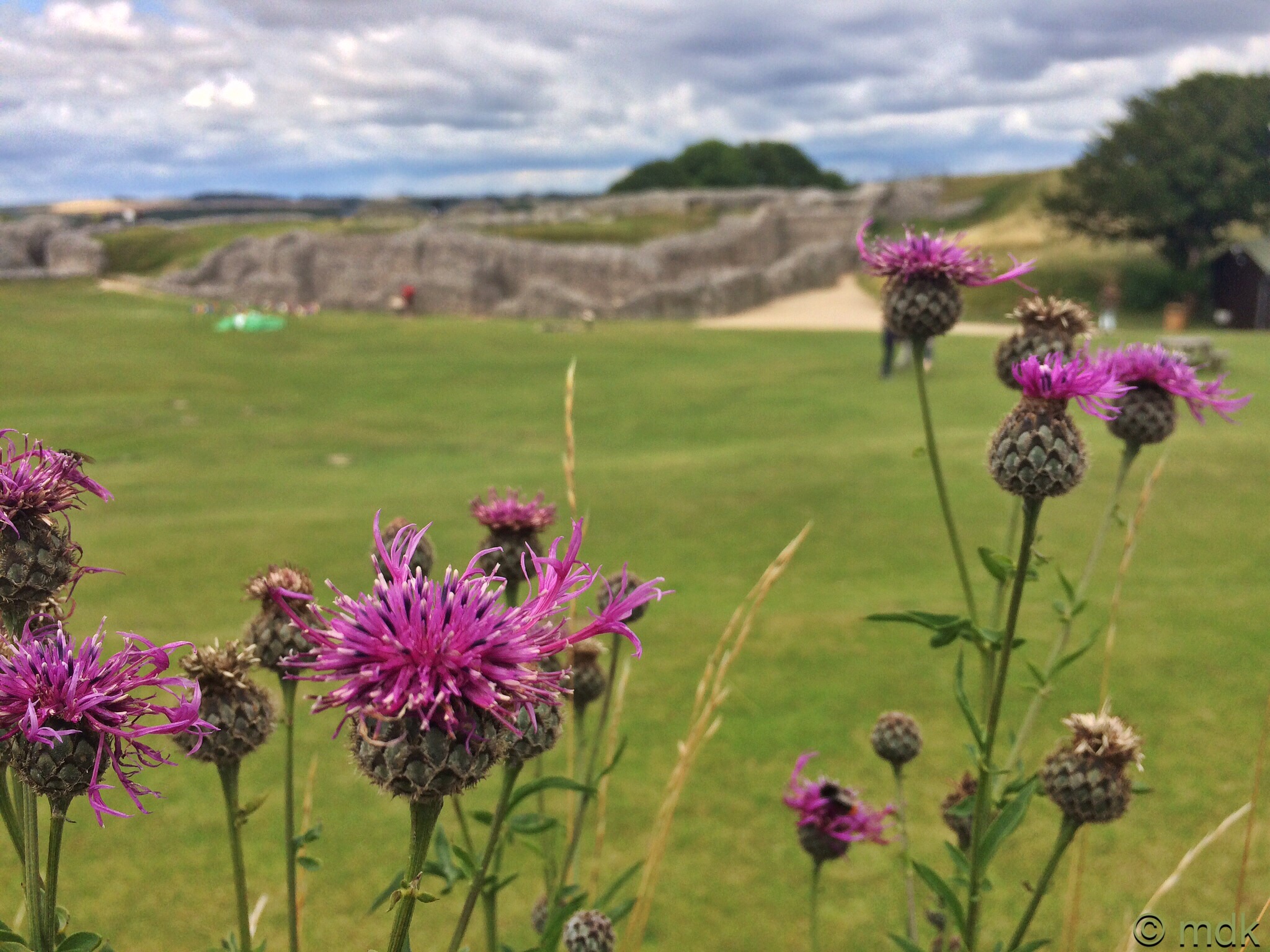
There has almost certainly been a settlement at Sarum since 3000bc. The area is criss crossed with ley lines and the Sarum line runs directly to Stonehenge exactly six miles north and Avebury Henge seventeen miles further on. There is evidence that early hunters and Iron Age farmers built up huge banks and ditches around the hill to protect their community in around 400bc, creating a hill fort to control two native trade paths that crossed there. Our path veered off to the right around a deep ditch that must have once been the outer ring of this fort. The fort was oval shaped with a double bank and inner ditch. We were heading for the entrance on the eastern side past rough grass brightened by clumps of wild scabious.
When we came to a narrow path meandering upwards I decided to climb it. CJ looked at how rough and steep it was and took the easy route a little further on. That lad has no sense of adventure! At the top I could see that the rough path went all around the ditch but, as CJ was making his way through the long grass towards the hill I scrambled down the other side of the bank and joined him.
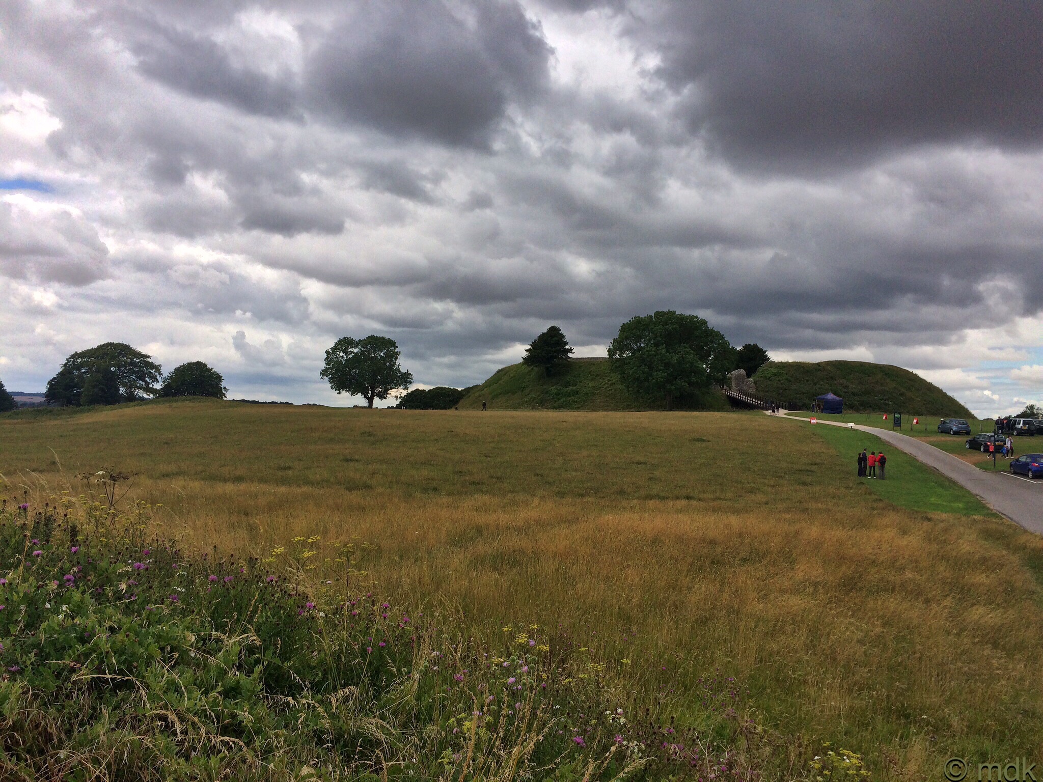
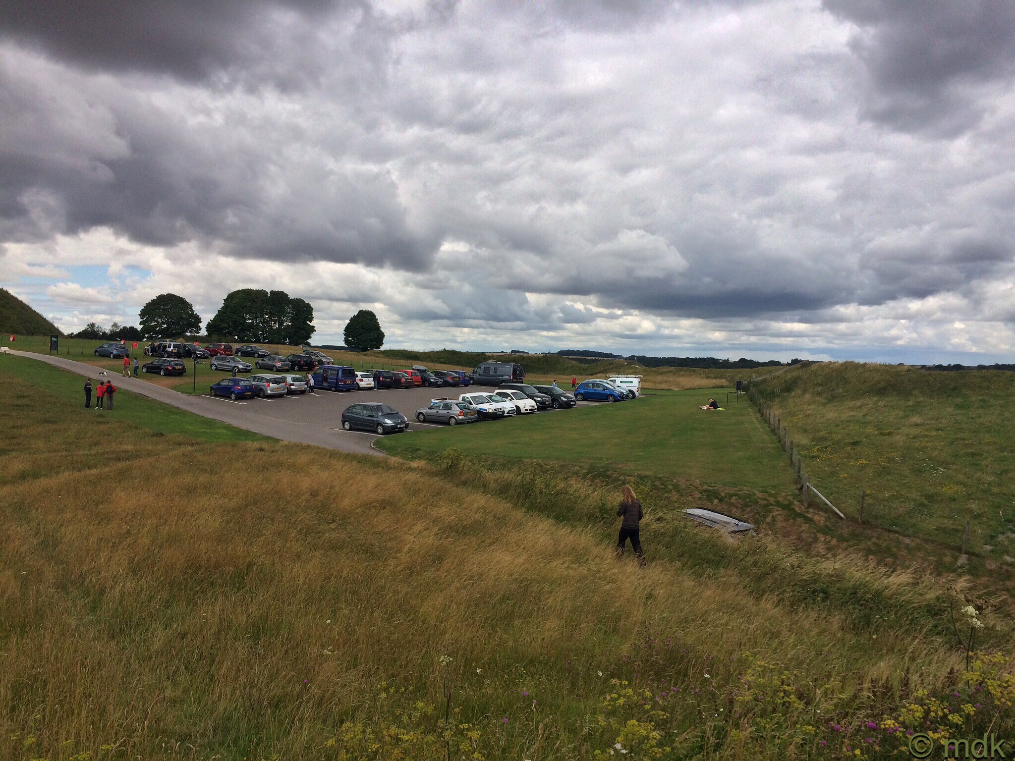
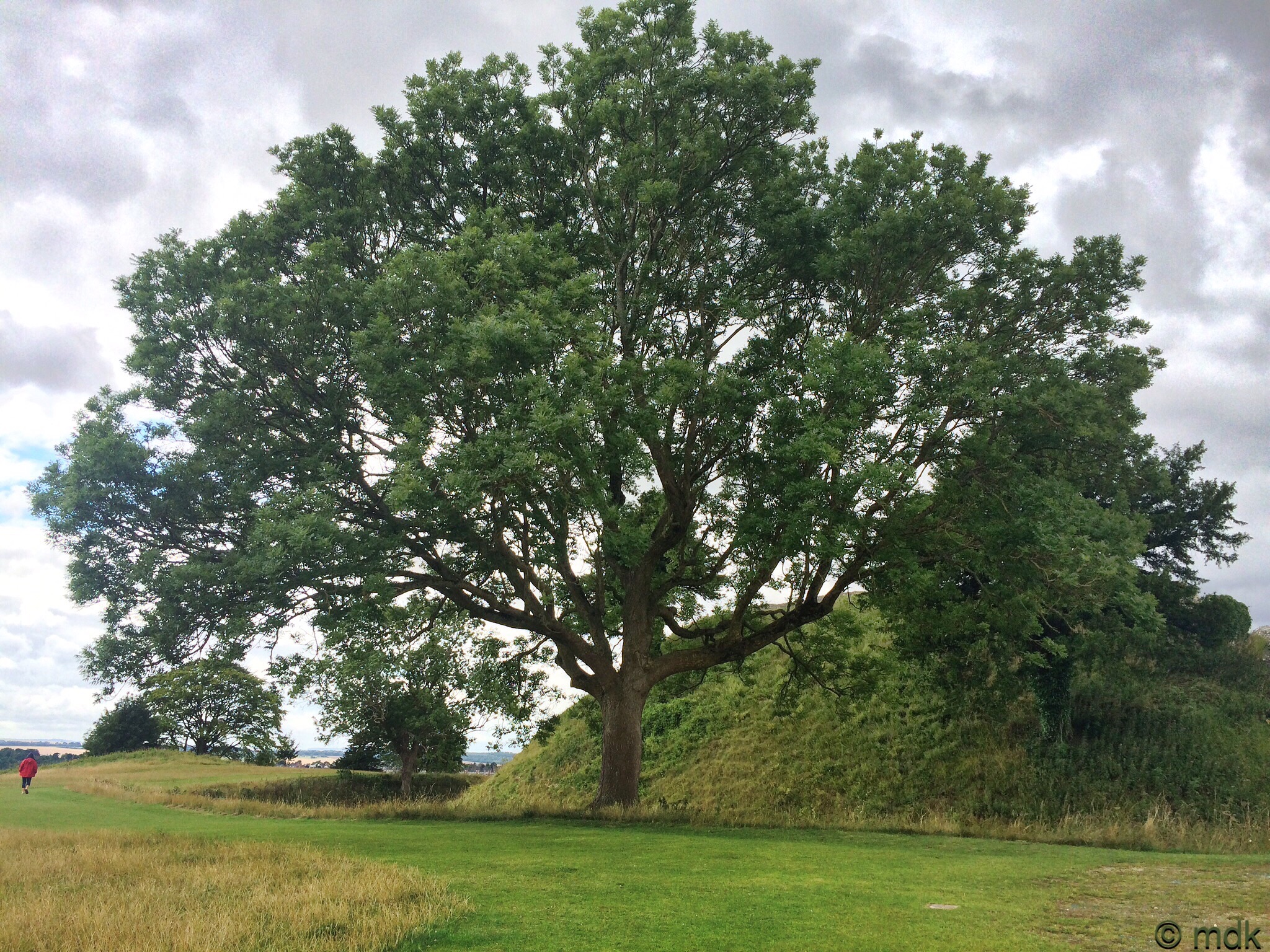
As we got closer a huge oak tree seemed to dwarf the hill. For a few moments I was disappointed, the hill looked smaller than I expected. Of course it was an optical illusion, this is actually larger than the average hill fort and, for many centuries, was mostly unchanged at least physically although it did change hands a few times. At the time of the Roman Conquest Old Sarum was part of the territory of the Atrebates, a British tribe, ruled by Gaulish exiles. The Romans left well alone apart from building roads. Then, in the sixth century, the Saxon king, Cynric of Wessex, captured the hill but largely ignored it until the Viking invasions, when King Alfred restored the old fortifications. It remained in the hands of the Wessex kings until Dano-Norwegian king Sweyn Forkbeard sacked and burned it in 1003.
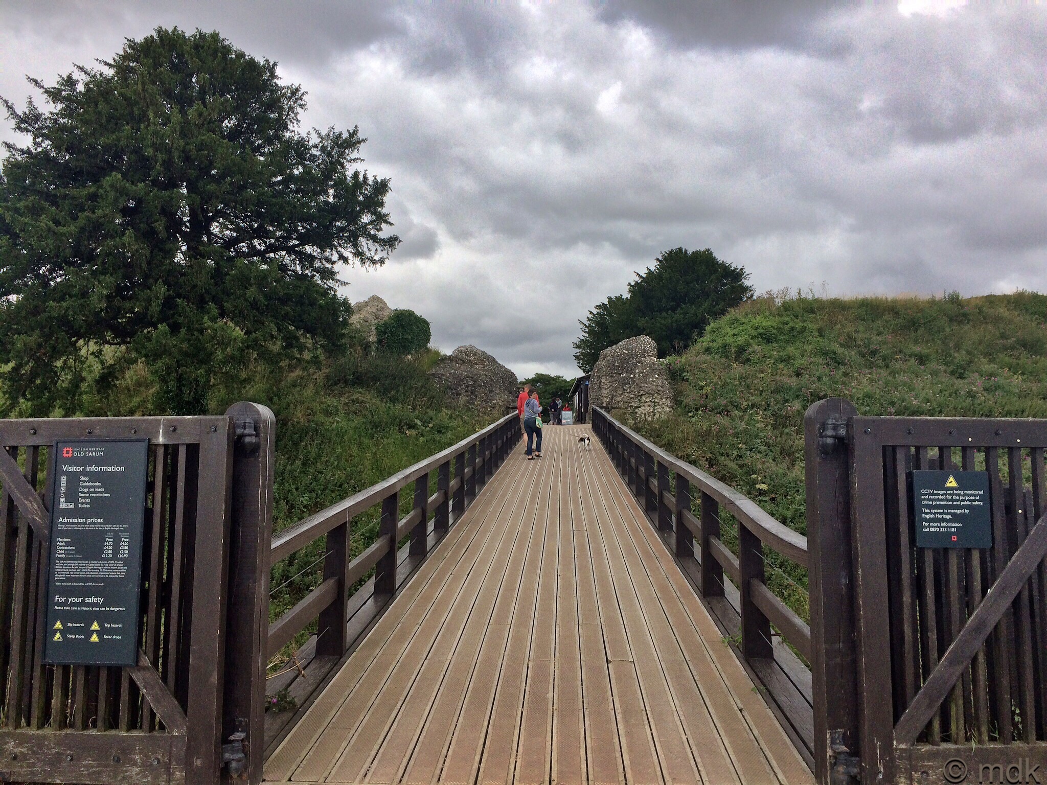
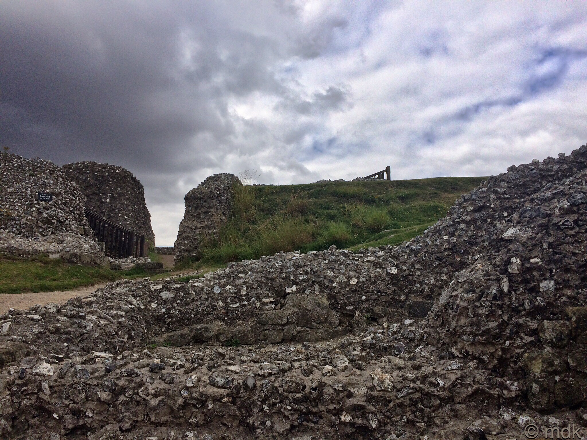
A modern bridge crosses the Bailey moat at what is thought to be the original entrance to the enclosure. Looking down from the centre the ditch seemed like a chasm. Unlike the hill fort at St Catherine’s Hill, this has more than the Iron Age ditches and banks to look at though. On the other side of the bridge we came to the first evidence of this, the Stone remains of a twelfth century gatehouse. Of course, just after the Norman Conquest, in 1070, when the motte and Bailey castle was built, we’d have been crossing a hinged wooden drawbridge and, no doubt, stopped and asked our business, maybe even been searched. The narrow gap between the flint and stone walls would have had an inner door and vaulted gaurd rooms on either side. As it was, we paid our money at the modern gatehouse come gift shop with little fuss, then set off to explore.
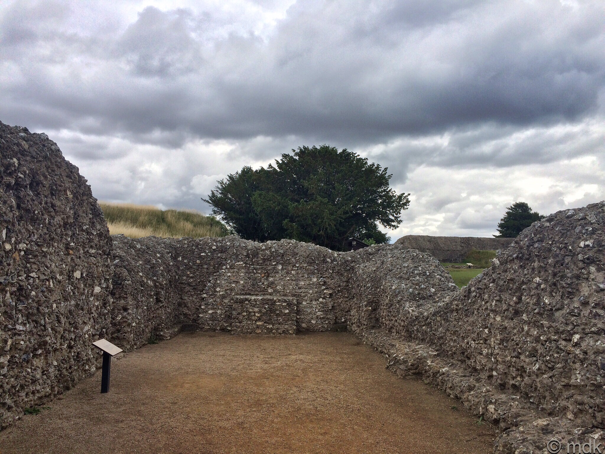
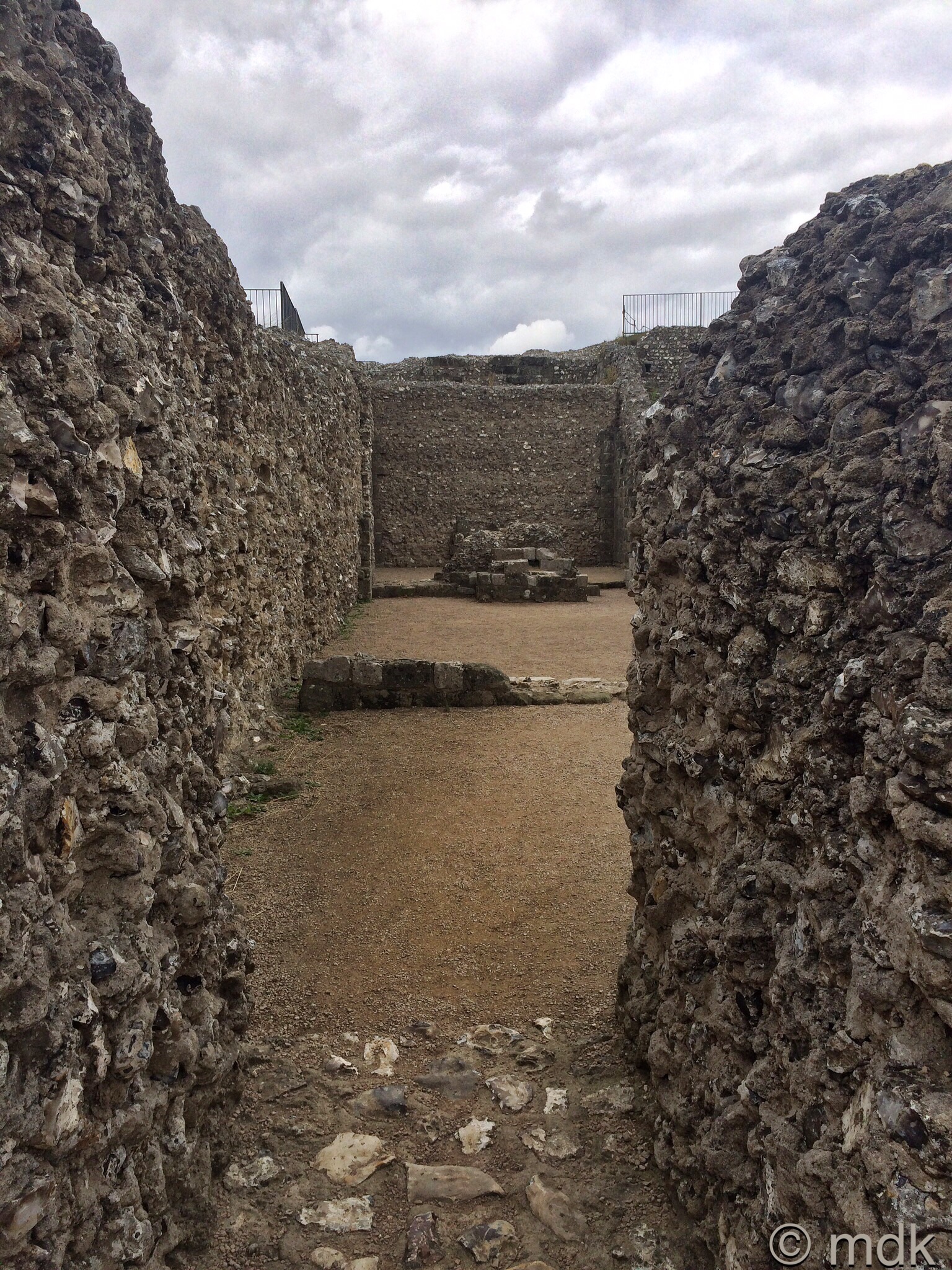
At first it was difficult to work out what the ruined walls might have once been. There were obviously several rooms and we walked around peering into them and trying to imagine the past. Then we came to a sign that explained this was St Margaret’s Chapel. There would have been vaulted ceilings, arcaded walls and an altar in an arched alcove. It all sounded quite sumptuous until we read that this was a chapel for the servants and the garrison. The King’s rooms were up above.
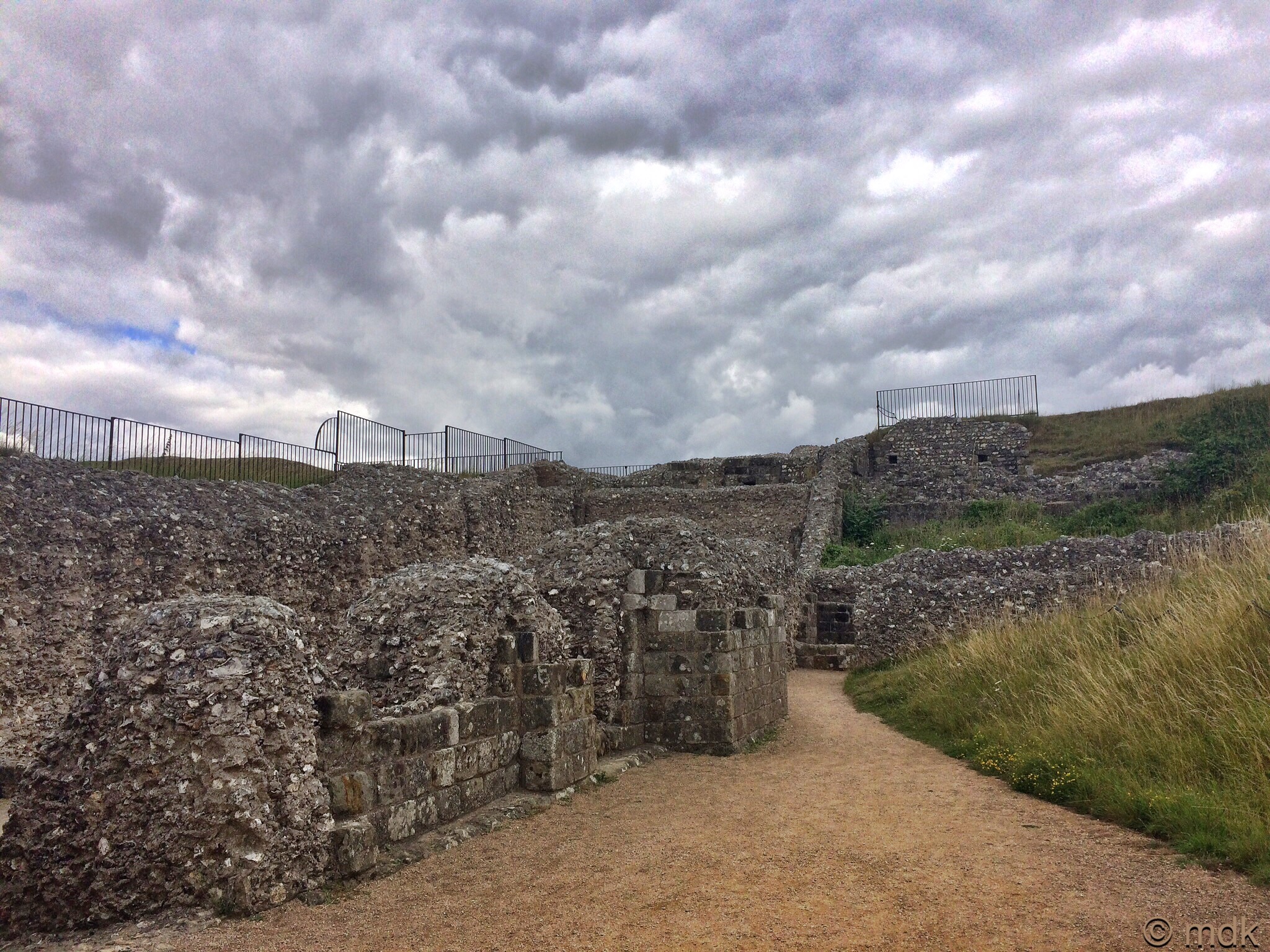
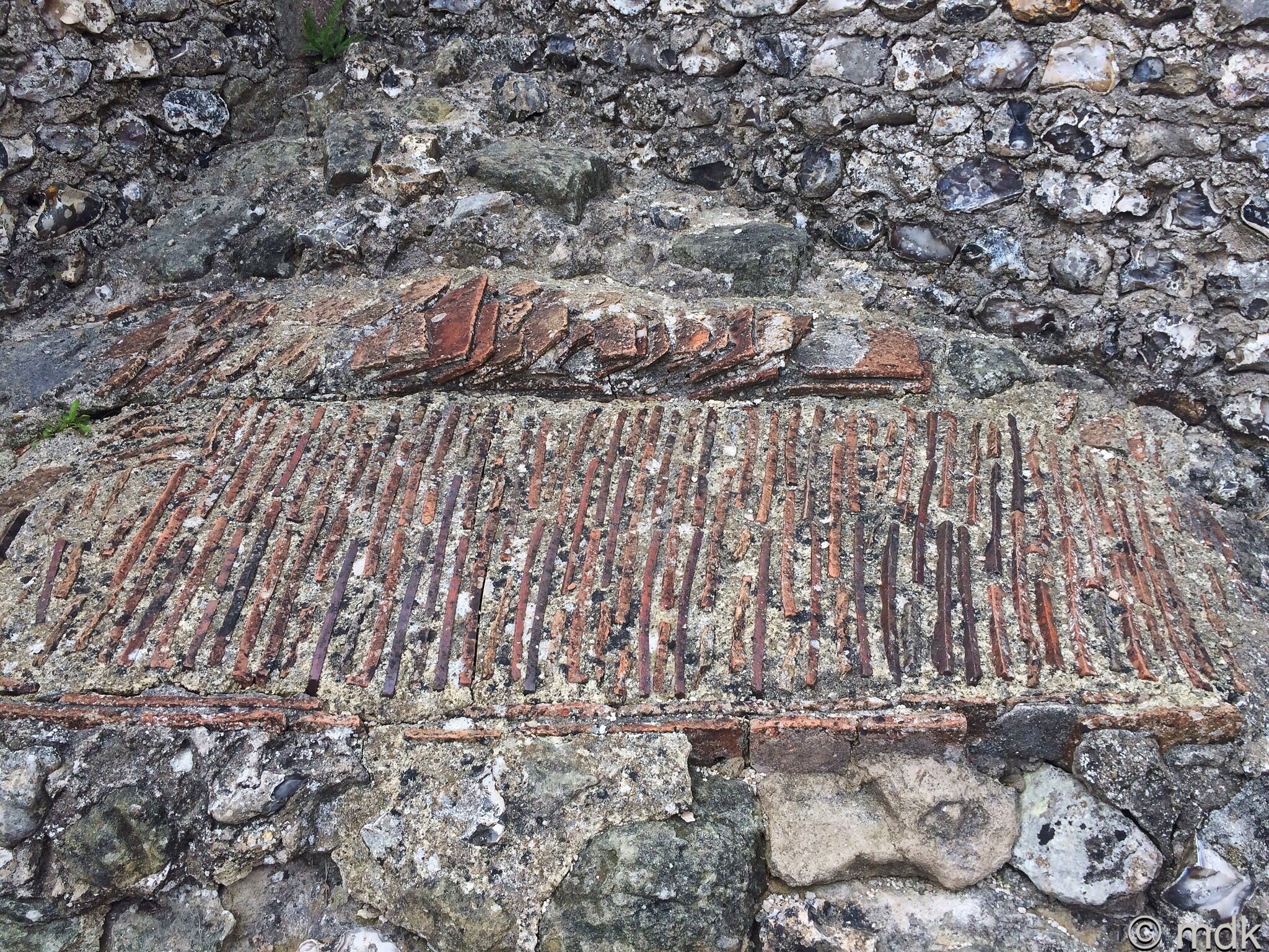
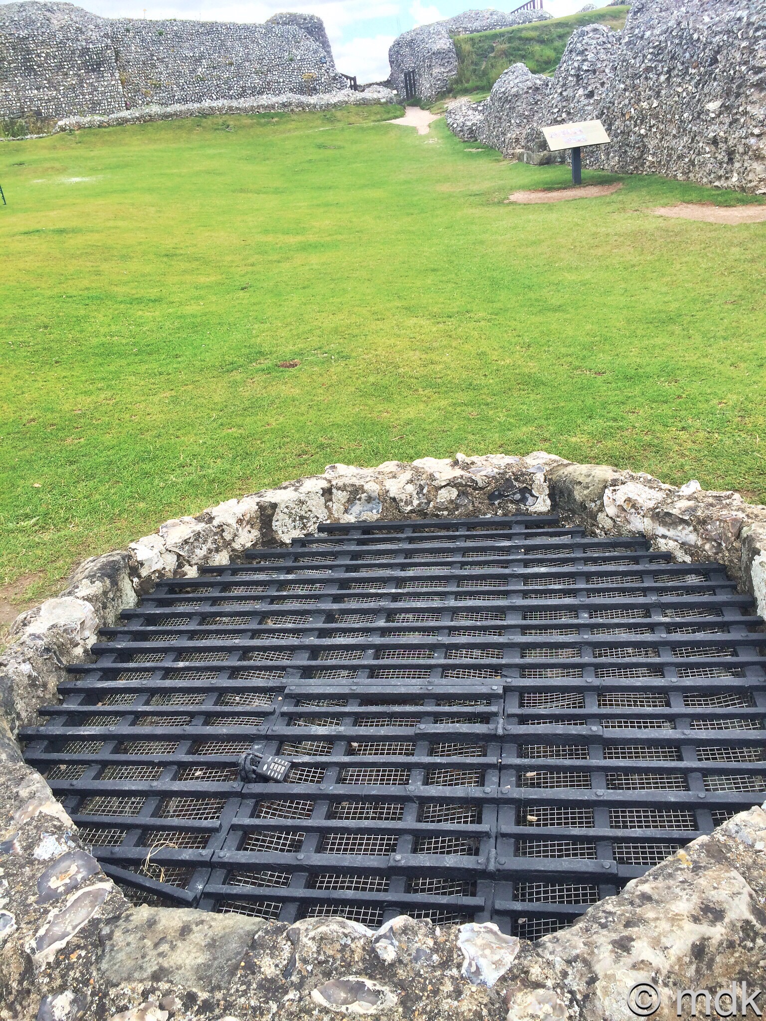
There were other rooms beside the chapel, possibly soldiers quarters, or maybe kitchens, we found no sign to tell us. At one end there were some curious layers of terracotta tile, a little like those over the doors at Wolvesey Castle. Beside these rooms, in the grassy courtyard was a well. This would have been the main source of water and was more than two hundred feet deep. servants would have needed a windlas to pull up the water filled bucket and it’s likely there was an open sided well house. Now the well is covered with a strong iron grill, which is probably as well or I might have fallen in.
Leaving the puzzle of the buildings behind, we climbed steep stairs to the king’s quarters. Here we found the ruins of a hall, and the king’s rooms. This was probably where the Doomsday Book was presented to William I in 1086. Above the chapel of St Margaret would have been the more elaborate St Nicholas’s chapel used by the royal family, although nothing remains today. There may have been little left of the palace but the views from the king’s window were stunning.
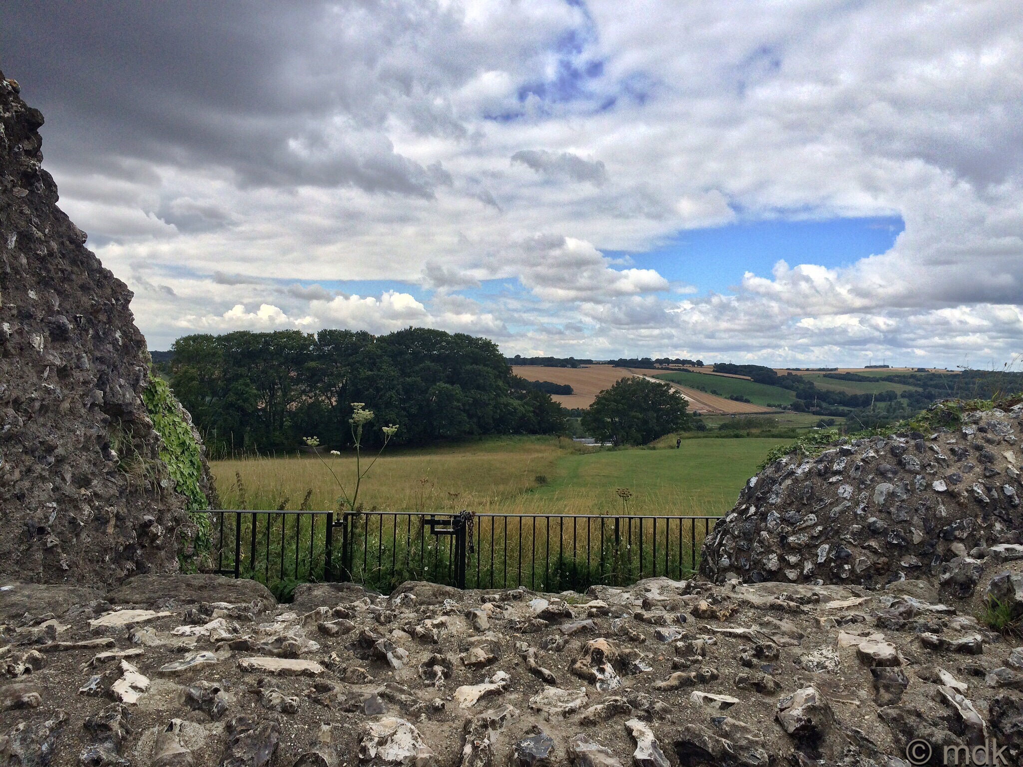
Below us, across the ditch and a mass of rosebay willowherb, the ruins of the old cathedral were laid out before us. Little of the walls remain and, annoyingly, a white van was parked on the edge, but we could easily make out the ditches and the layout of the building.
“D’you think we should go down for a closer look?” I asked CJ.
“We probably have the best view from here,” he said. “Those walls are very low and, from down there, I doubt we’d be able to work out what we were looking at. Besides, there’s a lot more to see up here.”
Maybe he didn’t fancy the climb down and then back up again but I had to admit he had a point. “I suppose we can always come back another day,” I said. I seem to be saying that a lot lately.
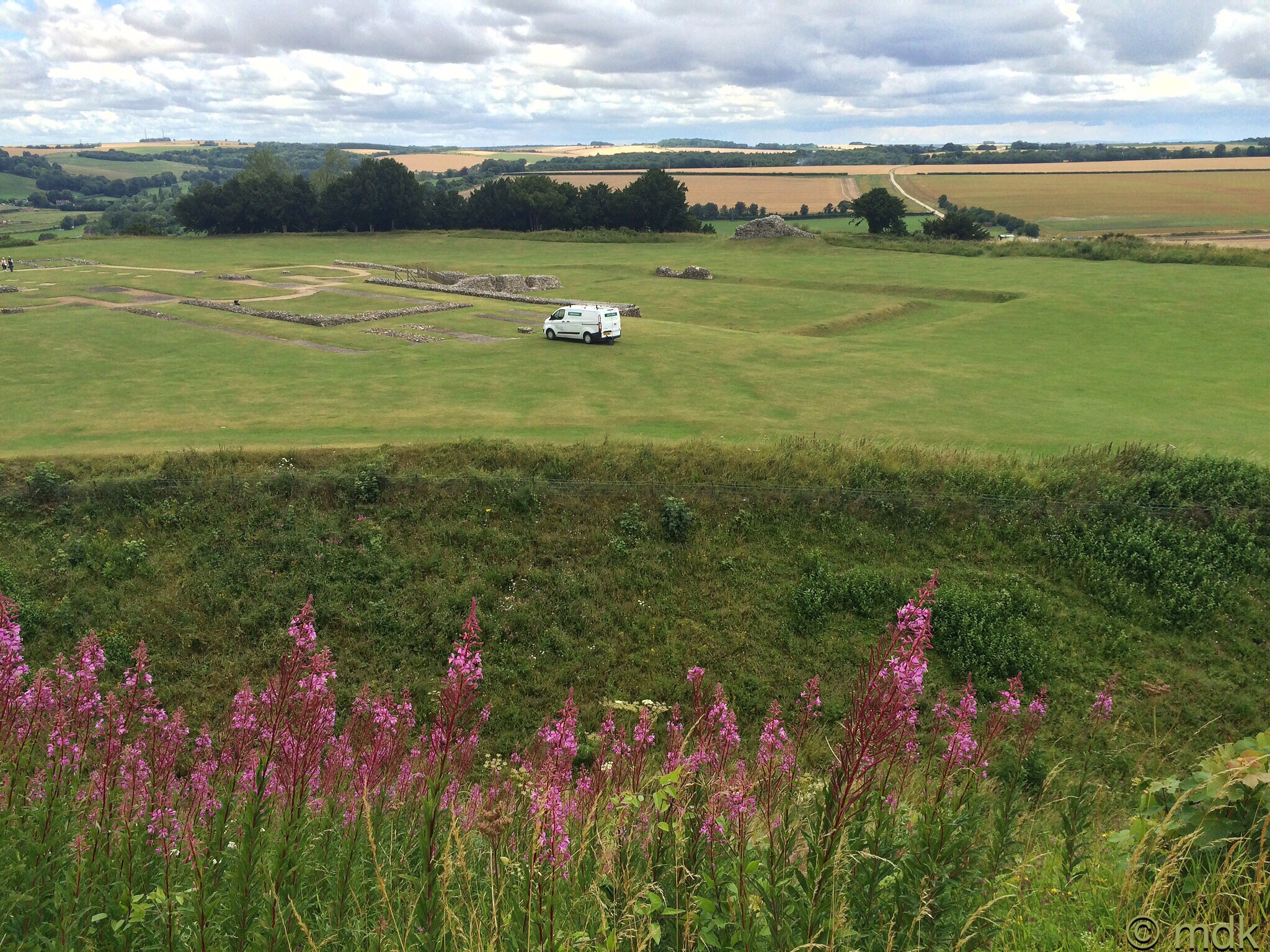
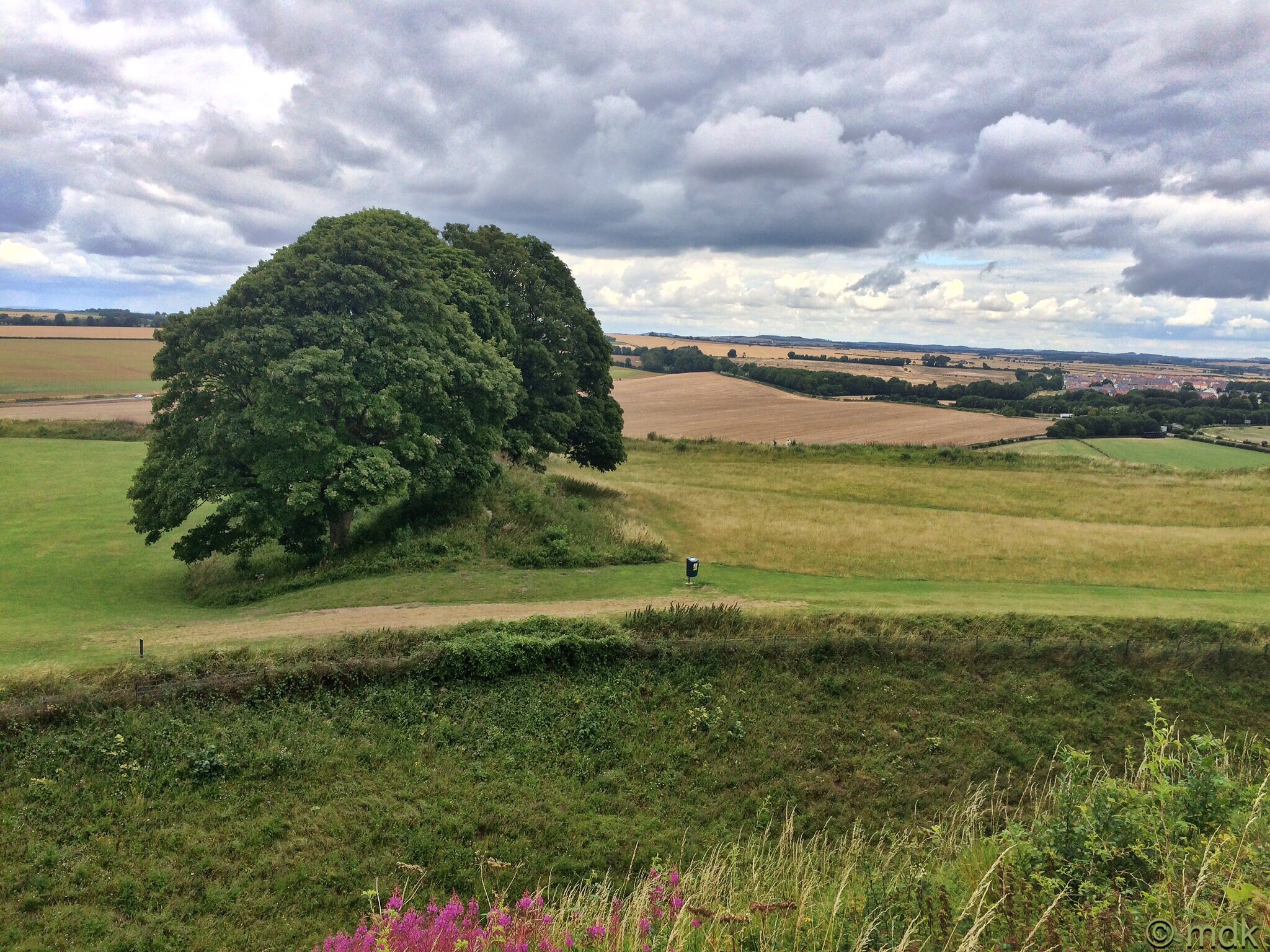
Bishop Herman and St Osmund began work on a small cathedral in the outer Bailey in around 1075. Neither lived to see its completion in 1092. Just five days after it was consecrated a violent thunderstorm seriously damaged the tower. Bishop Roger soon began the rebuilding, considerably enlarging and improving on the original. The work must still have been going on when William Rufus held a national council there and in 1116 when Henry I held another, often called the first English Parliament. In fact, the cathedral was still not finished in 1139, when Bishop Roger died.
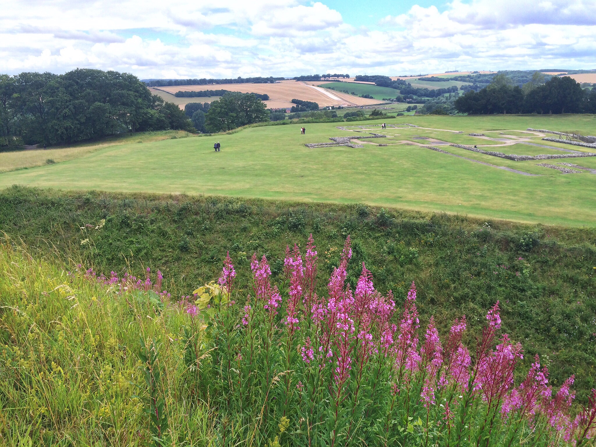
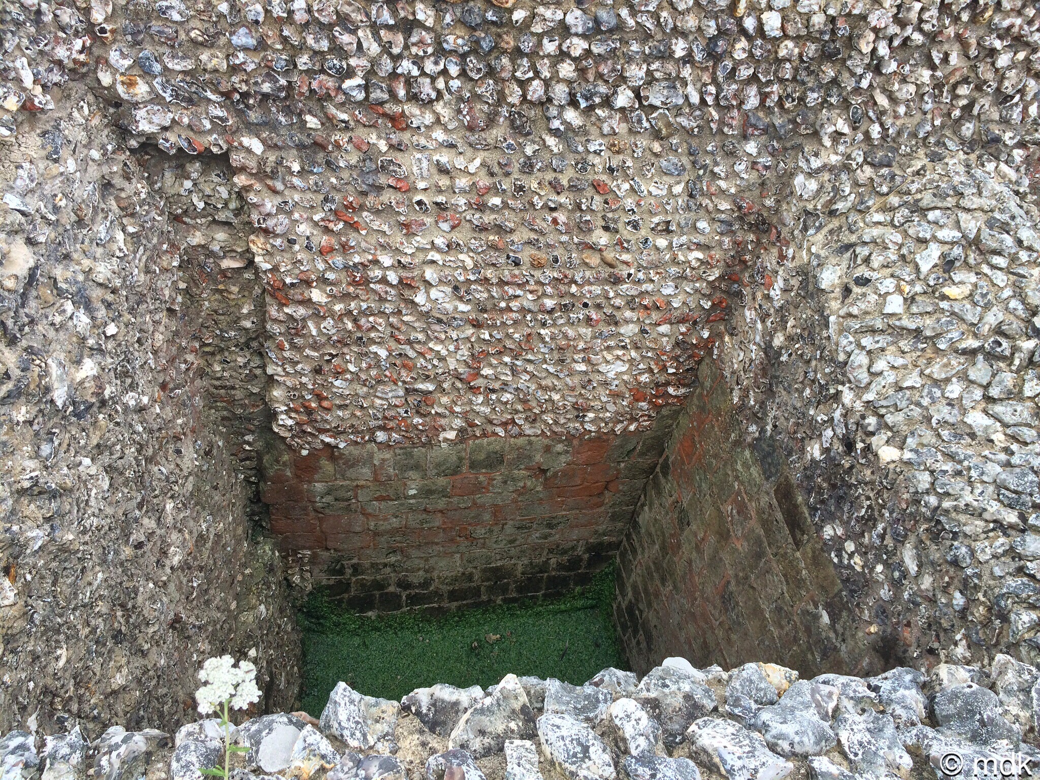
Of course, the remains of the king’s apartments were as much of a ruin as the other rooms and we didn’t quite know what we were looking at. There were some peculiar square shafts that went right down to the lower floor.
“Maybe they threw prisoners down there,” CJ said, always one for the macabre. “There are no windows or doors.”
Then we found a sign that explained. These were actually the king’s garderobe, or toilets, added in the thirteenth century for Henry III. They were probably lavishly decorated but, I should imagine, rather smelly. Unlike the garderobe in the Southampton walls, where the tide came up twice a day and flushed them out, these were left to fill up. Eventually, when they got too full, or the king was away from the castle, a servant would be lowered into the foul, stinking pits to dig them out. And I thought my job was bad!
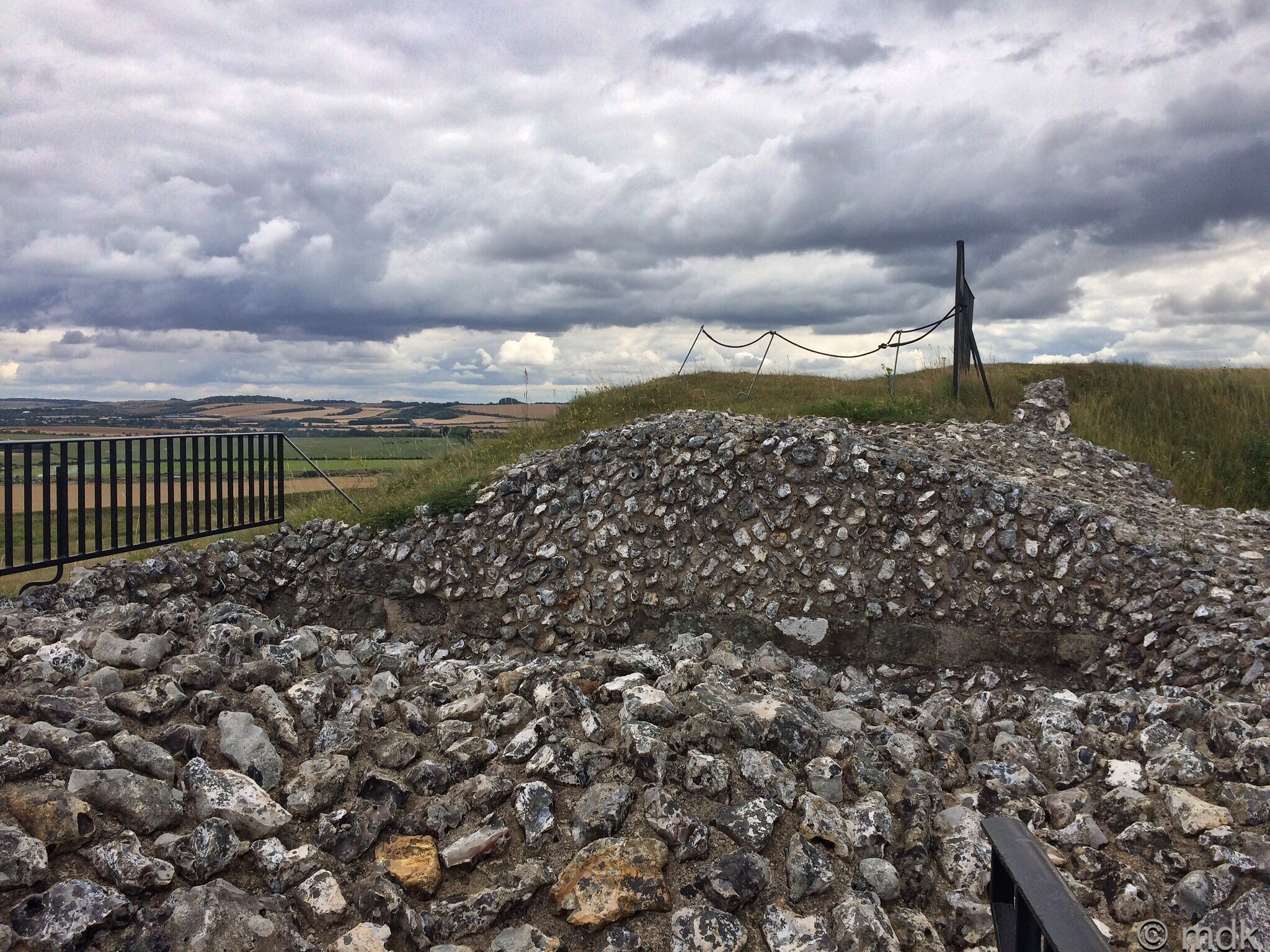
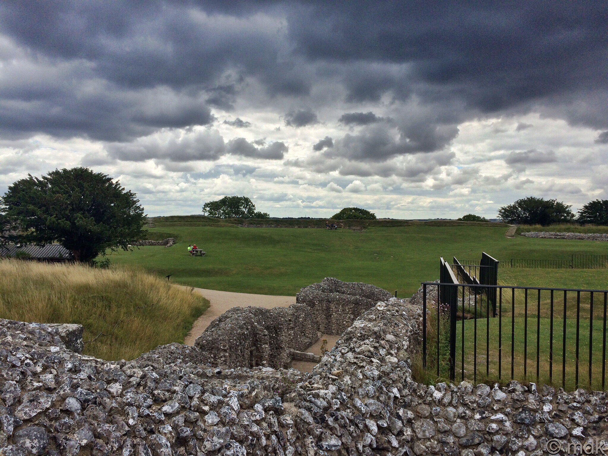
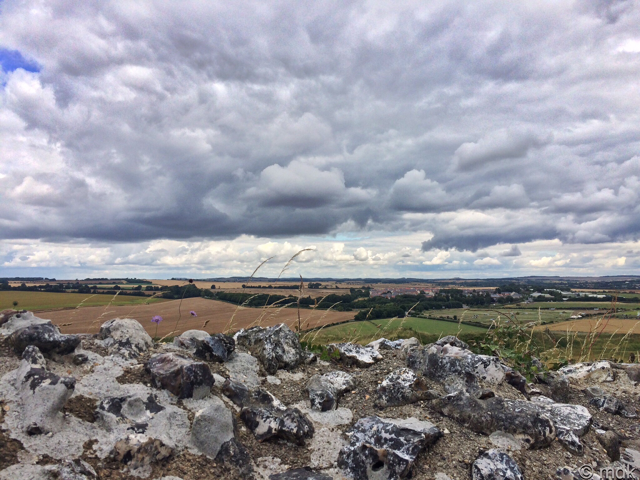
Althought there were a few patches of blue sky to the north, as we stood looking over the inner bailey, we could see the darkening clouds rolling in from the south. Any thoughts we might have had of walking down to the old cathedral ruins quickly evaporated. There was almost certainly rain on the way. Besides, we’d had no lunch and it was coming up to half past one.
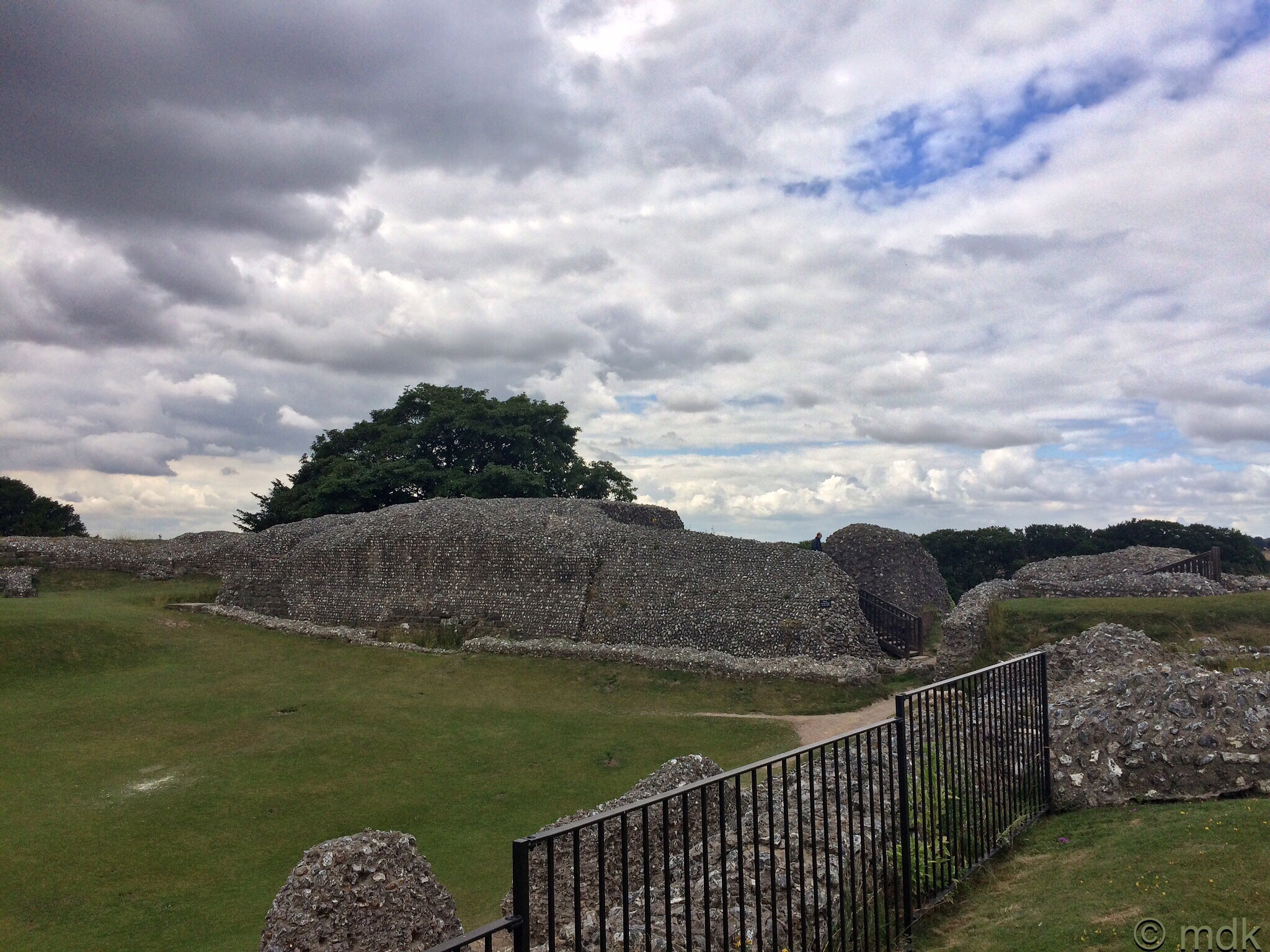
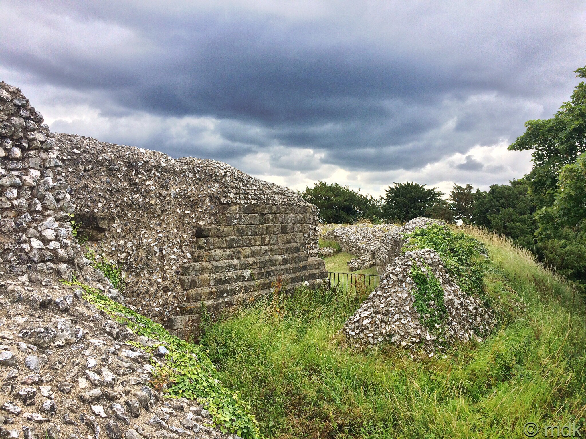
Despite our reservations about the weather and our growling stomachs we did carry on to the next building. This was, or so the sign told us, the remains of the great tower. To be exact, the basement of the tower, as the majority of it was demolished in the sixteenth century. No one really knows what it looked like but it’s thought the basement was used for storage and as a prison. Wandering around the inside it was hard to get a feel for what it might have been.
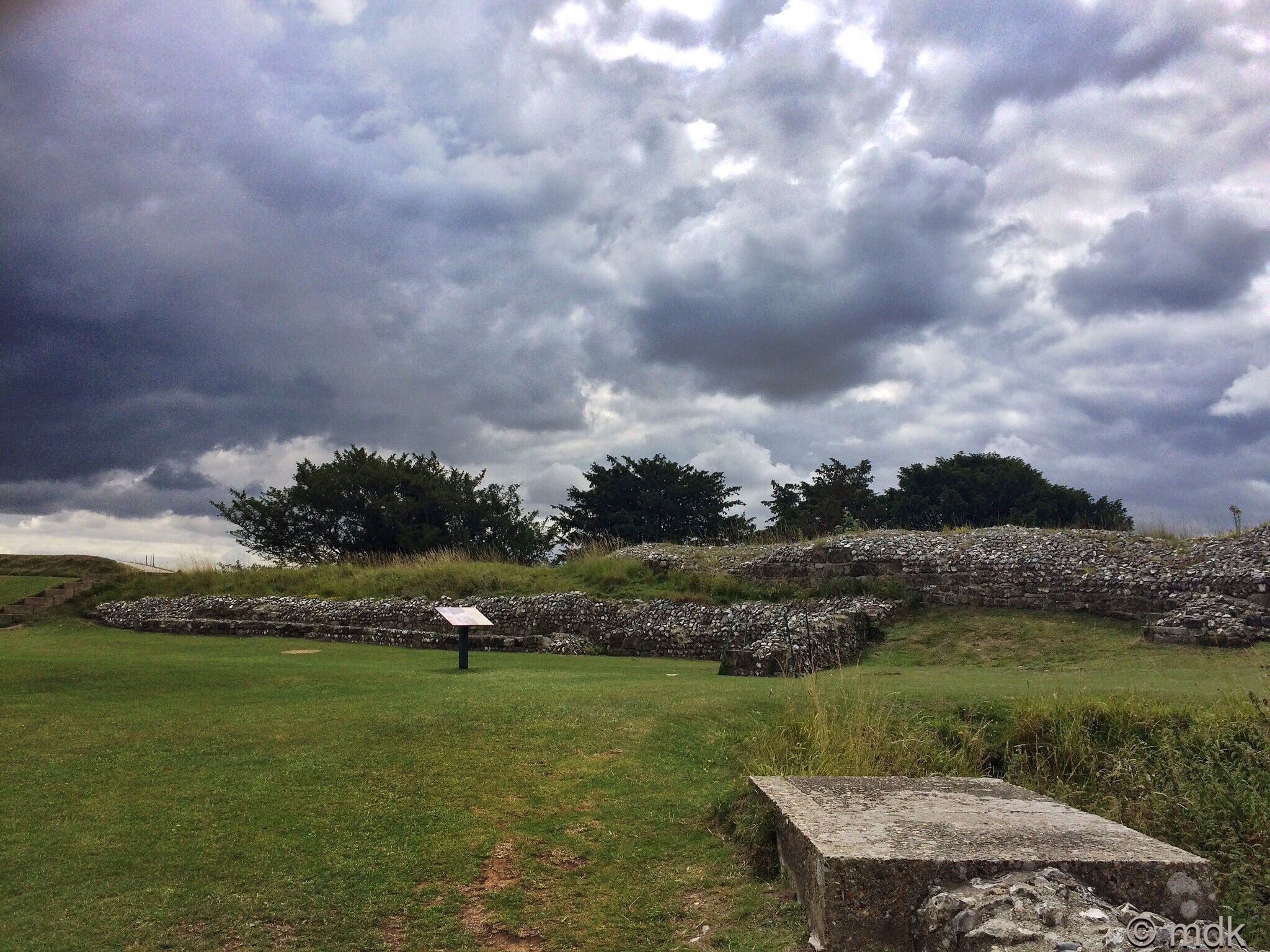
Further on we could see the scant remains of the newest building in the inner bailey, the new hall, built between 1201 and 1208 in the new gothic style. It would have been used for court hearings and had kitchens for large banquets. Sadly the building was poorly maintained and, in less than forty years, was already crumbling. By this time the rain was beginning to fall so we hurried along the top of the bank above the ruins making for the gate.
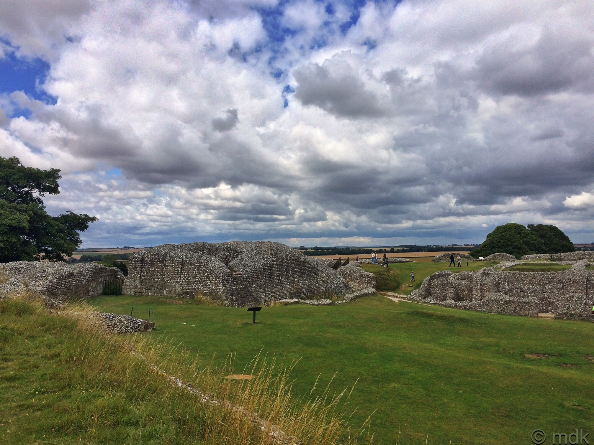
Having a cathedral and a military garrison in such a small space enclosed by a thick curtain wall was a recipe for disaster. The clergy and the solders did not see eye to eye and the writing was on the wall for Old Sarum. In 1217 the wealthy new bishop, Richard Poore, offered to donate land for a new cathedral and a petition to Pope Honorius III was successful. Legend has it that the bishop shot an arrow to decide where the new cathedral would be built but the arrow hit a deer and the deer died in the place where Salisbury Cathedral now stands. From our vantage point on the bank we could clearly see the spire in the distance.
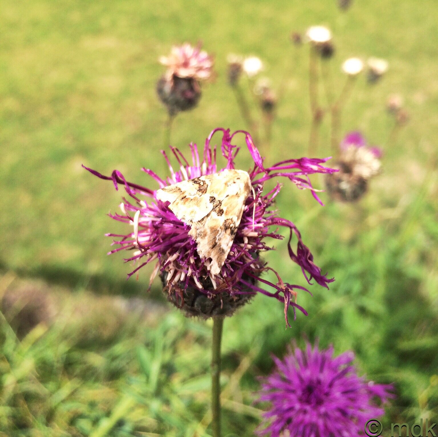
The rain had stopped so, with one last stop to admire the knapweed and a moth gently basking in the sun, we made our way back to the gate.
You are so energetic and so well informed, thank you for this interesting, well illustrated visit.
Thank you for reading Susan. A lot of the information was research although I did know a fair bit before we set out.
That’s a lot of history! I’m surprised that there aren’t any old engravings or woodcuts showing what the buildings looked like.
I’m glad that I wasn’t a servant in those days. It had to have been hellish.
There are some artist’s impressions of the buildings but nothing from the time and no one knows for sure what they were like. I guess they weren’t that bothered by that kind of thing back then and they were demolished when the new cathedral was built. I wouldn’t like the job of digging out that pit for sure.
A wonderful ramble through history, Marie! I am enjoying your adventures.
CJ and I enjoyed them too!
The land around Old Sarum was Graham’s playground when he was younger, he lived just down the road, he mum still does. Not a bad place to live!
It is a wonderful place to live. He was very lucky.
Very good illustrated history but the scabious was the prize of the post for me.
Me too! They were everywhere.