
At the end of June, Commando took me along for the ride when he went to a training event at Up and Running in Chandler’s Ford. Obviously, I wasn’t interested in learning about running shoes, but the nearby footpath leading to Valley Park and five (or six according to some sources) parcels of woodland did capture my attention, especially as Monks brook ran through them. So, I waved goodbye to Commando, then set off to find the footpath and make the most of the next hour or so.
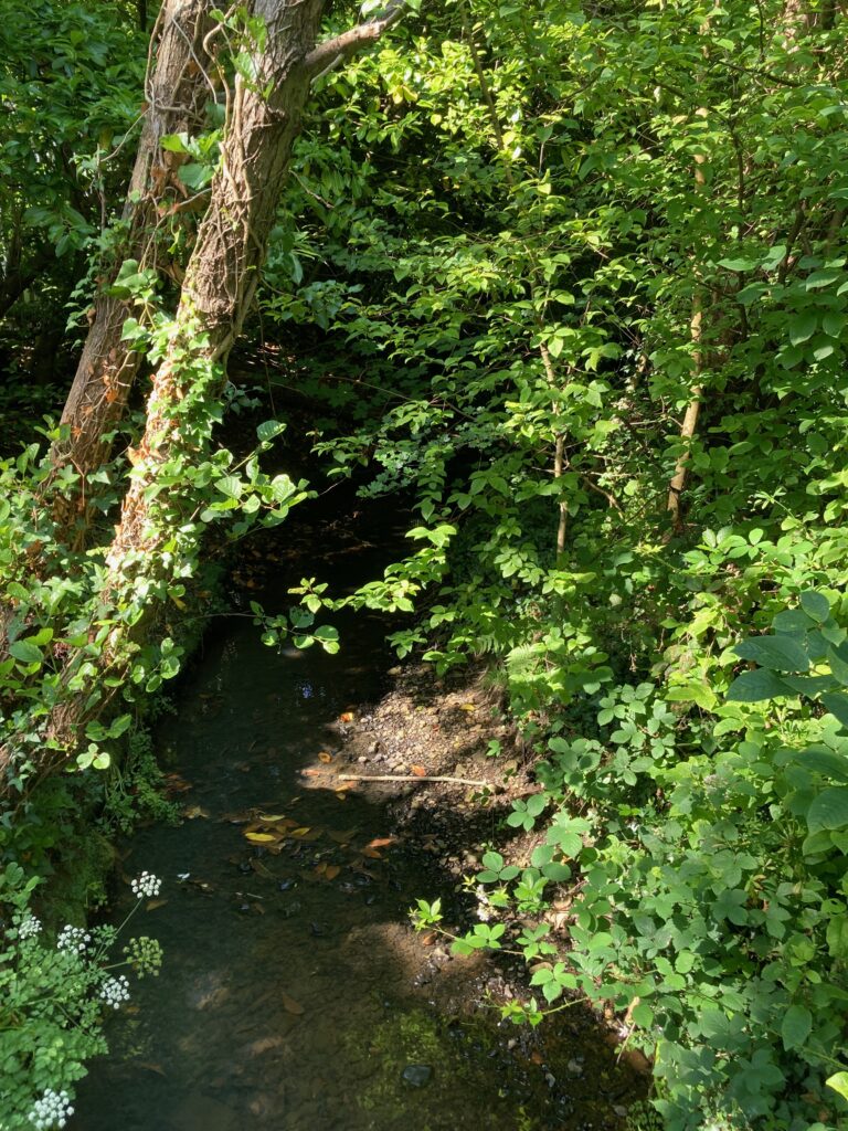
Thankfully, the footpath was exactly where Commando had said it would be, right by the railway station, and before long I caught my first glimpse of Monks Brook as I crossed a bridge. The paved trail was easy on my feet and the day was warm, but I’ll admit to being slightly disappointed. To my right I saw houses through the trees, and to my left I heard the rumble of a train on the railway tracks. It wasn’t quite the quiet woodland walk I’d had in mind, and I couldn’t see the brook for the trees.

I pressed on. The path passed a wide grassy area with a playground and lots of dog walkers. I had no idea where I was or where I was going. Had Commando had sent me on a wild goose chase? Where were the five (or six) parcels of Ancient Semi-Natural Woodland I’d read about? Ahead, I spied houses and my heart sank. It looked as if my walk was over almost as soon as it started.

Things looked up when I spotted a bridge. Of course, crossing the bridge showed me that there were choices to be made. There looked to be a narrow trail going off to the right and another wider one going forwards. Going right would take me along the brook, but it would also take me back the way I’d come. It would be a short walk if I went that way.

I abandoned the idea of following Monks Brook and kept going forwards. Finally, I’d found my woodland and what a beautiful, serene place it was, too. Within a matter of minutes, I even had an idea where I was, thanks to a signboard. According to the sign, this was Upper and Lower Flexford wildlife reserve, running along the valley by Monks Brook. It promised me Alder trees, ransoms, wet meadows, loosestrife and woodland birds. I could hear the birds, and fairly soon I saw the brook again.

Strangely, this ancient woodland wasn’t always so peaceful and tree-filled. Archaeologists believe Bronze Age families farmed here. They made large clearings to grow arable crops, and in Roman times, these were further expanded for farming. Maps in the late 1500s show the area as rough grassland and heath, part of Baddesley Common. The common was probably used as woodland pasture for foraging pigs and domestic animals until parts of it were claimed by Zionshill and Knightwood farms in the 1800s. Modern development ate most of the land up in the 1980s, but Test Valley Borough Council purchased this little pocket of woodland for a nature reserve.

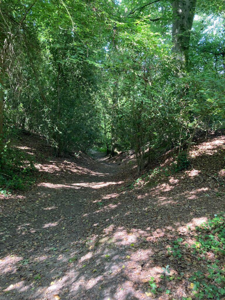
It wasn’t long before I came to another choice of path. While I was dithering, a dog walker passed me with a large dog off its lead. Walker and dog took the right-hand trail, so I took the left. This arbitrary decision led me to a steep climb, made slightly easier by what appeared to be railway sleepers laid out like stairs.


What goes up must come down, and soon after I reached the summit, I was descending again. This time there were no stairs, so I took it slowly, thankful that the dry weather meant there was no mud to slip in.
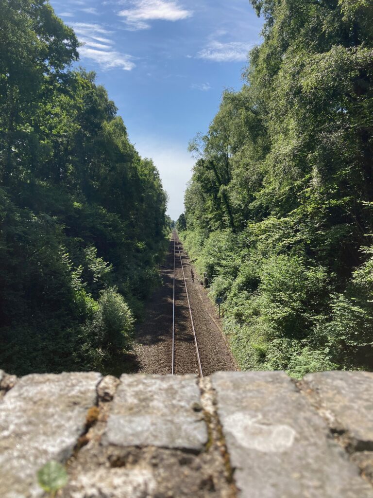
My next choice came when I reached a railway bridge. Did I cross or did I carry on along the trail? After more dithering, this time with no dog walkers to help make up my mind, I crossed the bridge. I do like a railway bridge after all. What a pity there were no trains passing, but I suppose you can’t have everything.
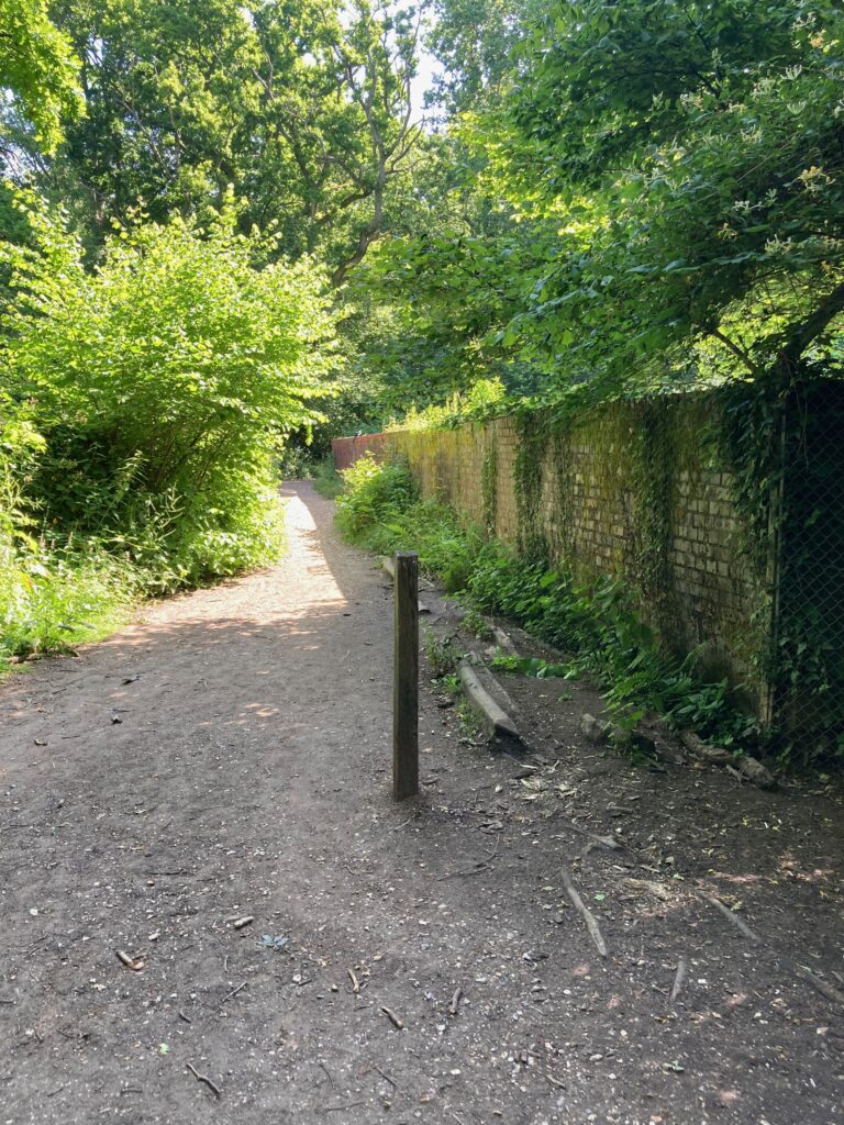
Before I’d gone very far, I came across another information board. This one told me I was now in Ramalley Copse. It also showed me that the path I hadn’t taken would have led me round in a big circle and taken me back to the play area. I’d made the right choice.

The trail on the far side of the bridge was far wider, but it wasn’t long before I saw buildings through the trees. By this time I was almost halfway through my allotted hour and I was torn between heading back the way I’d come or trying to find my way onto Hursley Road and walking back that way. I knew there was a small cemetery nearby, so I decided to keep going ahead in the hope of finding it and perhaps seeing some interesting graves.
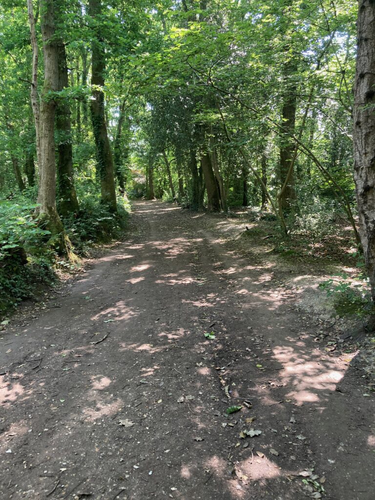
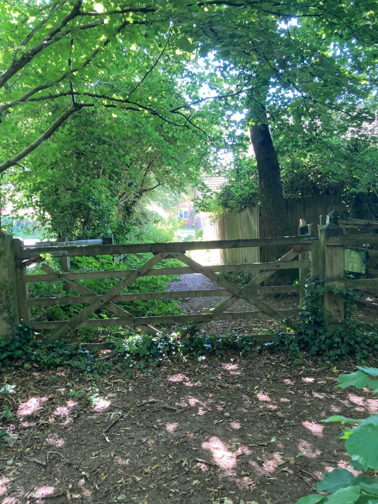
When I found a gate, I thought I was on the right track but it turned out to lead to some houses, so I turned back to the trail. There were buildings to my right by now, so I knew it was only a matter of time before I came to either the cemetery or another road. Then, I met another obstacle that changed the course of my walk. What looked like a preschool outing blocked the path ahead. Rather than plough my way through all the overexcited and noisy children and teachers, I took a detour along a narrow trail to my right.

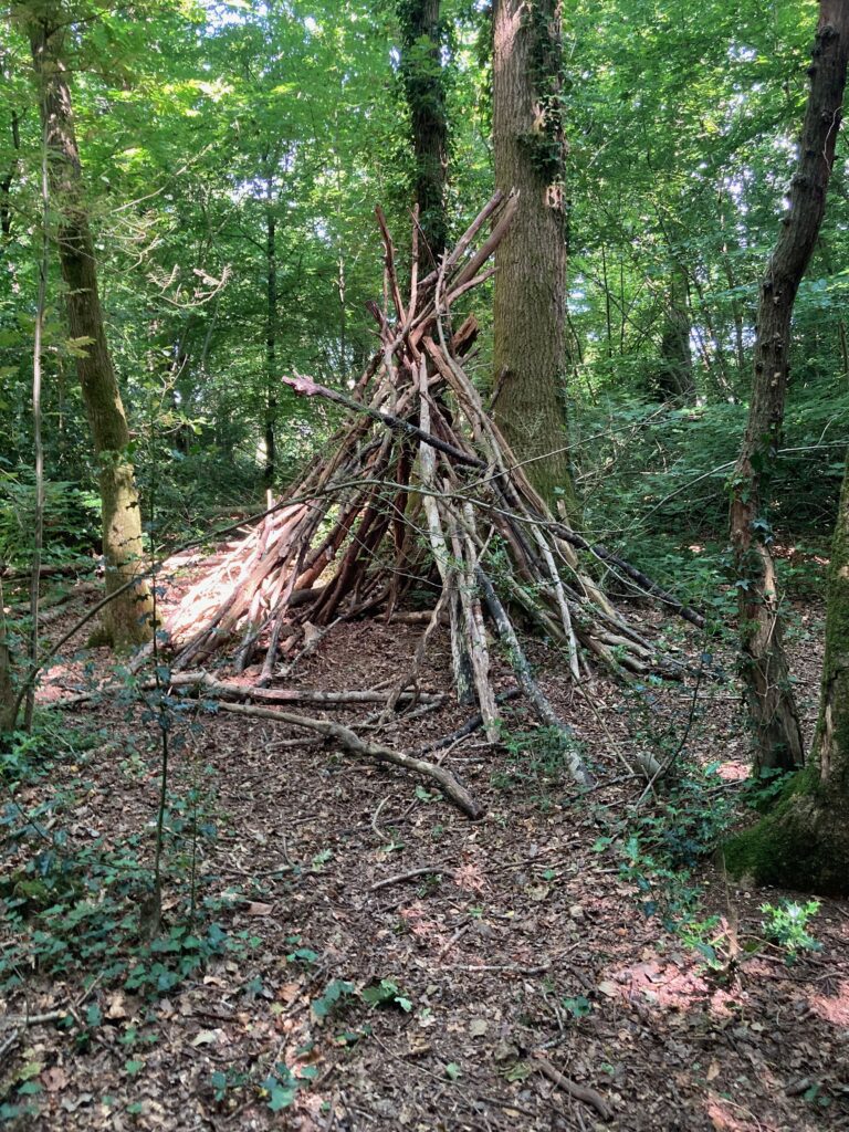
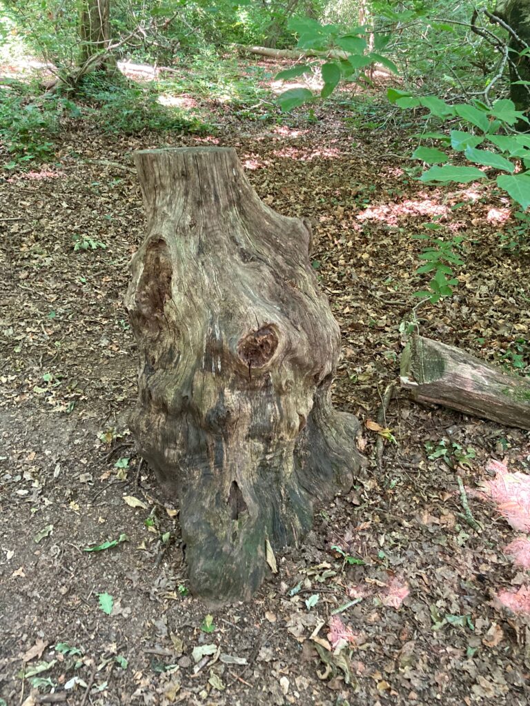
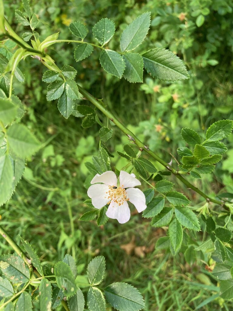
Later I discovered this detour had made me miss the cemetery, but it led me to an interesting wigwam structure, a splendid old tree stump and a sweet smelling dog rose, so I’m not really complaining.
It also took me to another false exit. A quick look at Google maps told me the houses ahead were part of a rabbit warren of streets that would take me in completely the wrong direction, so once again, I turned back. The trail ahead was getting narrower by the step and I was worried about getting back before Commando finished his running shoe training. Another look at Google maps told me I was heading in roughly the right direction, though, so I kept walking.
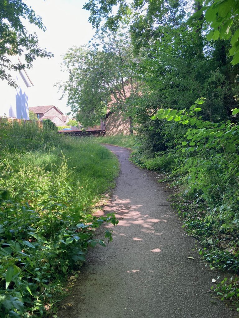
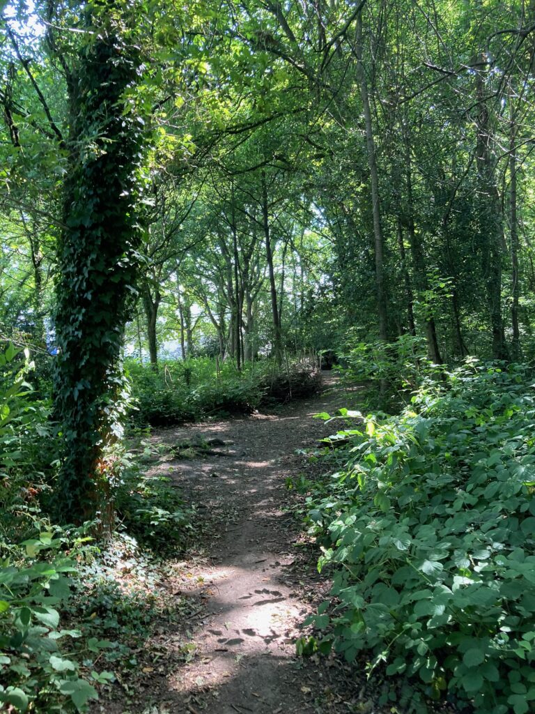
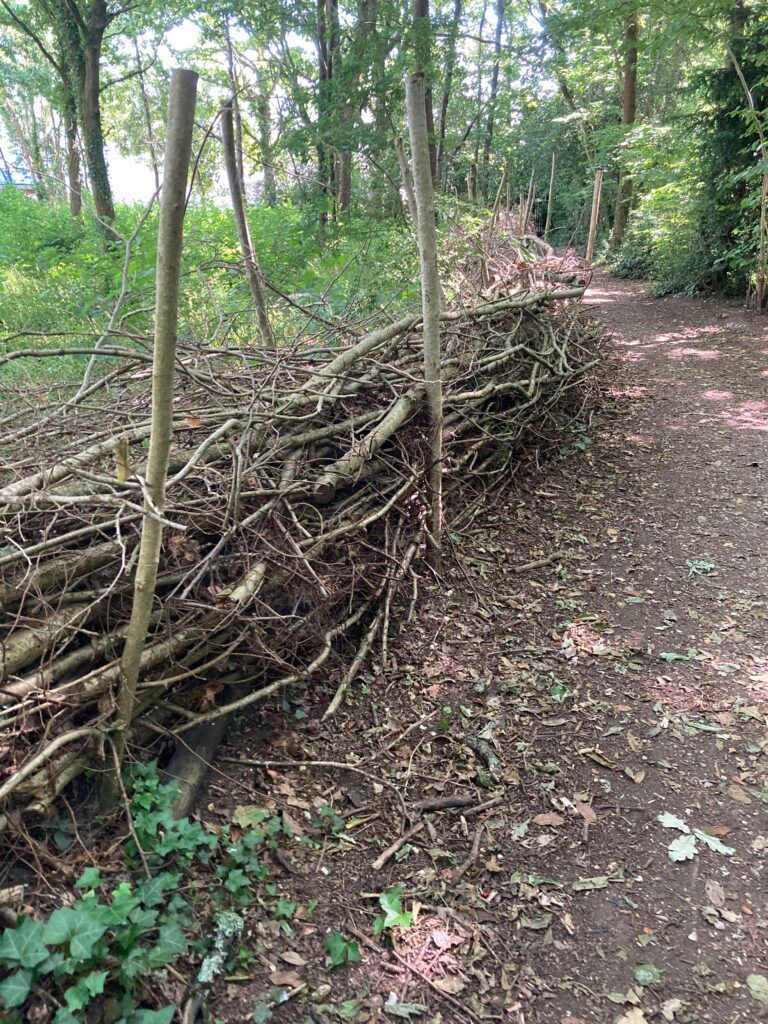
It was becoming clear that the trail I’d taken to avoid the children was taking me in a big circle back to where I’d have been if I’d kept going ahead. I passed a long section of what looked like primitive wattle fencing and saw another structure built of tree branches up ahead. I’d have liked a closer look at the latter, but a young man was sitting so close to it I thought he might be living there, so I snapped a picture and walked on.
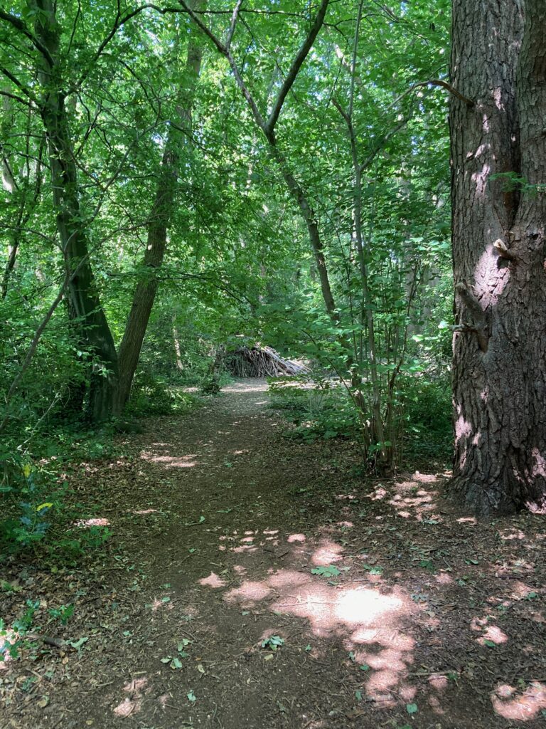
A little while later, I was staring at Google maps on my phone trying to work out which way to turn next, when a kind lady with a dog stopped to ask me if I was lost. After a bit of a chat about my morning adventure, she pointed me in the right direction and I was soon on Hursley Road, heading back towards Chandler’s Ford. I’d missed my chance to look at the cemetery, but my dog walking friend assured me I hadn’t missed much.

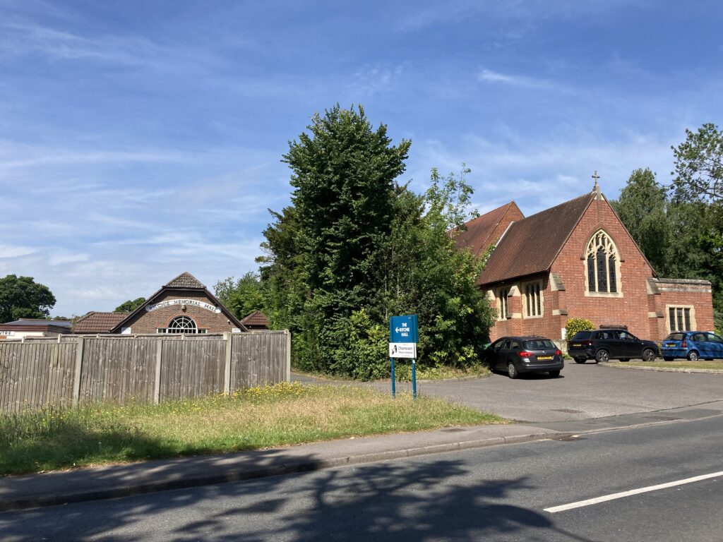
The walk back to the running shoe shop was uneventful, apart from a quick stop to look at St Boniface Church and the nearby Ritchie Memorial Hall. The church was built in 1904 on land donated by Tankerville Chamberlayne of Cranbury Park. It replaced an old corrugated iron church on Southampton Road. The architect was G F Bodley, and it includes a stained glass window dedicated to the memory of Mr Wynyard moved for the original iron church. The Ritchie Memorial Hall was built in 1912-1913 in memory of a local GP, Dr Edward Ritchie. It was opened by his wife on 16 April 1914.
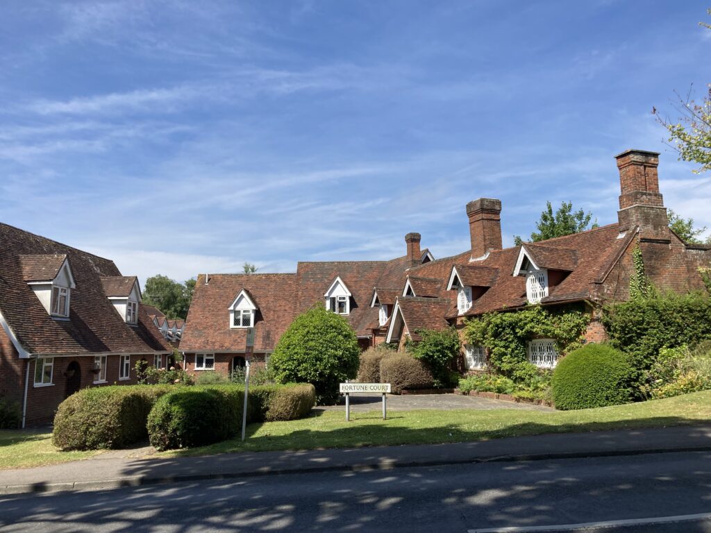
A little further along the road, I stopped again to look at a beautiful little group of buildings called Fortune Court. Later, I discovered that these were listed farm buildings dating from the seventeenth century, originally owned by the Fortune family. Apparently, the farmstead, near the fording point of Monks Brook, was called Chandler’s Farm before they changed the name to Ford Farm, and this was where the name Chandler’s Ford came from.
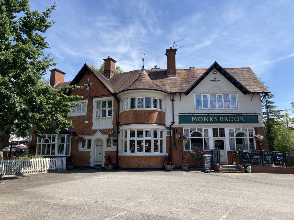
When I came to the Monks Brook pub, I knew I wasn’t far from the running shop, which was a good job because my hour was almost up. There was just time to snap a photo of some bright purple toadflax against a white wall before my phone rang. It was Commando, asking where I was. Talk about perfect timing.

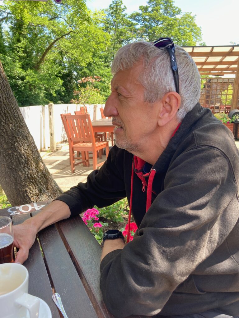
We rounded off the morning with a stop at the White Swan in Mansbridge, where we sat in the garden drinking coffee and looking out over the river that Monks Brook flows into. There was even a swan family to watch while we drank.

If you like what I write, and you’re interested in my novels are available now on Amazon in paperback, on Kindle and via Kindle Unlimited. Check out my Amazon page here and my Goodreads page here. If you would like to help me keep writing, you can now buy me a virtual coffee by clicking on the little orange coffee cup at the bottom right.
Looks like a pleasant walk and it’s always nice to see a different area.
I can’t find anywhere to sign up for email updates, am I just being thick or don’t you have that option any more?
Hi again. It seems to be something worpress has changed. Just been trying to find an answer and get the follow button back but my brain is too fuzzy at the moment. I do wish they wouldn’t keep changing things!