5 July 2015
On Saturday night Commando announced he was going ‘somewhere different,’ for his Sunday run and did I want to come along. There is only one answer to those kind of invitations because Commando is good at coming up with interesting venues.
“Where were you thinking of going?” I asked.
“You’ll find out when we get there,” was the cryptic answer.
After the bright sun and blue skies of the day before it was slightly disappointing to wake to an overcast sky and a cool morning. Even so I filled a water bottle with ice, grabbed my rucksack and my mac and got in the car feeling a little excited.
We headed towards town and then onto the Totton bypass so I began thinking of places in the New Forest he might be taking me. As we drove down Southampton Road towards Lyndhurst I thought we might be going there but we drove through and kept on going, past Brockenhurst and Boldre in the general direction of Lymington. We got stuck at the Brockenhurst level crossing just before Lymington and I began to wonder if I’d get the chance to revisit the Salterns or explore the pretty little village I’d not had a chance to see last time. Once the train had passed though we left Lymington behind.
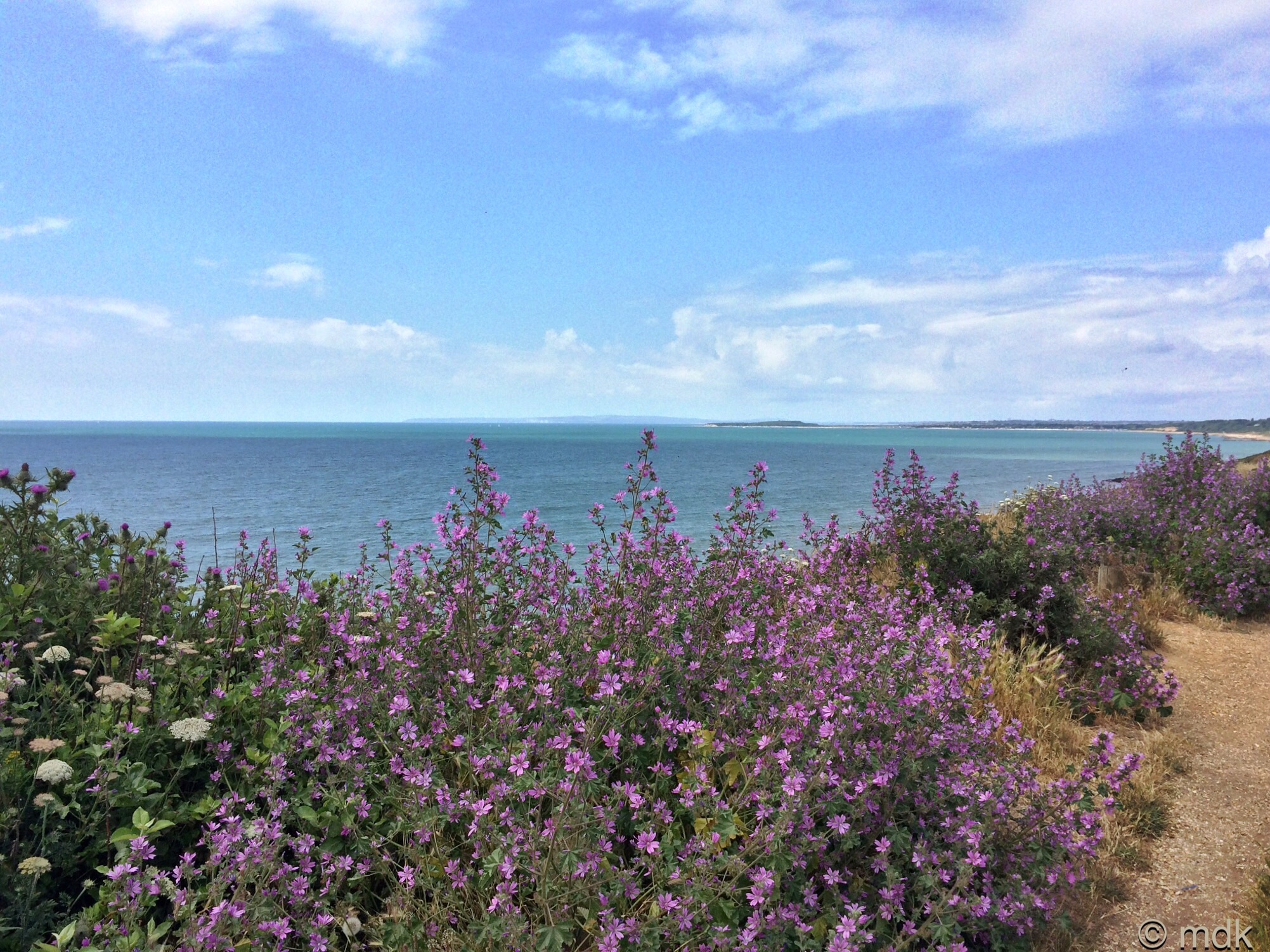
We were obviously heading for the coast and I thought perhaps Milford on Sea was our destination. The shingle of Hirst Spit had been tough going but there were other trails I’d like to have explored there. Pretty soon Milford was behind us too and I began to think about Bournemouth and the pretty beach huts and fat squirrels. We didn’t make it quite that far though. We pulled up in a cliff top car park very reminicent of Milford on Sea which was in fact about four miles down the coast. We were in Barton on Sea, a place I’ve never visited before. Where the Milford cliffs were a mass of pink thrift, in Barton there were mallow flowers as far as the eye could see.
It had been a long drive so our first priority was to find a public toilet. It didn’t take long and afterwards we parted company. Commando ran off into the distance and I dithered a little trying to decide which way to go. I hoped Google would give me some ideas but I couldn’t get a signal. There was an ice cream shop opposite the toilets and I thought I might treat us both before we went home. Close to it I spotted a steep path leading down to the beach and decided to have a look.

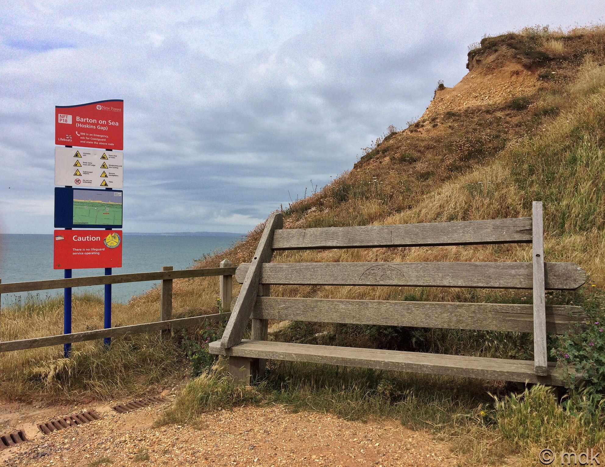
A view of the Isle of Wight and The Needles dominated my descent. It was a view so similar to the one from Milford I decided at once that I’d walk in the opposite direction for something different. Half way down the path turned sharply and there was an oversized bench and a sign telling me this was Hoskins Gap. The view opened up on the next part of the path and there were teasels beside the wooden fence.

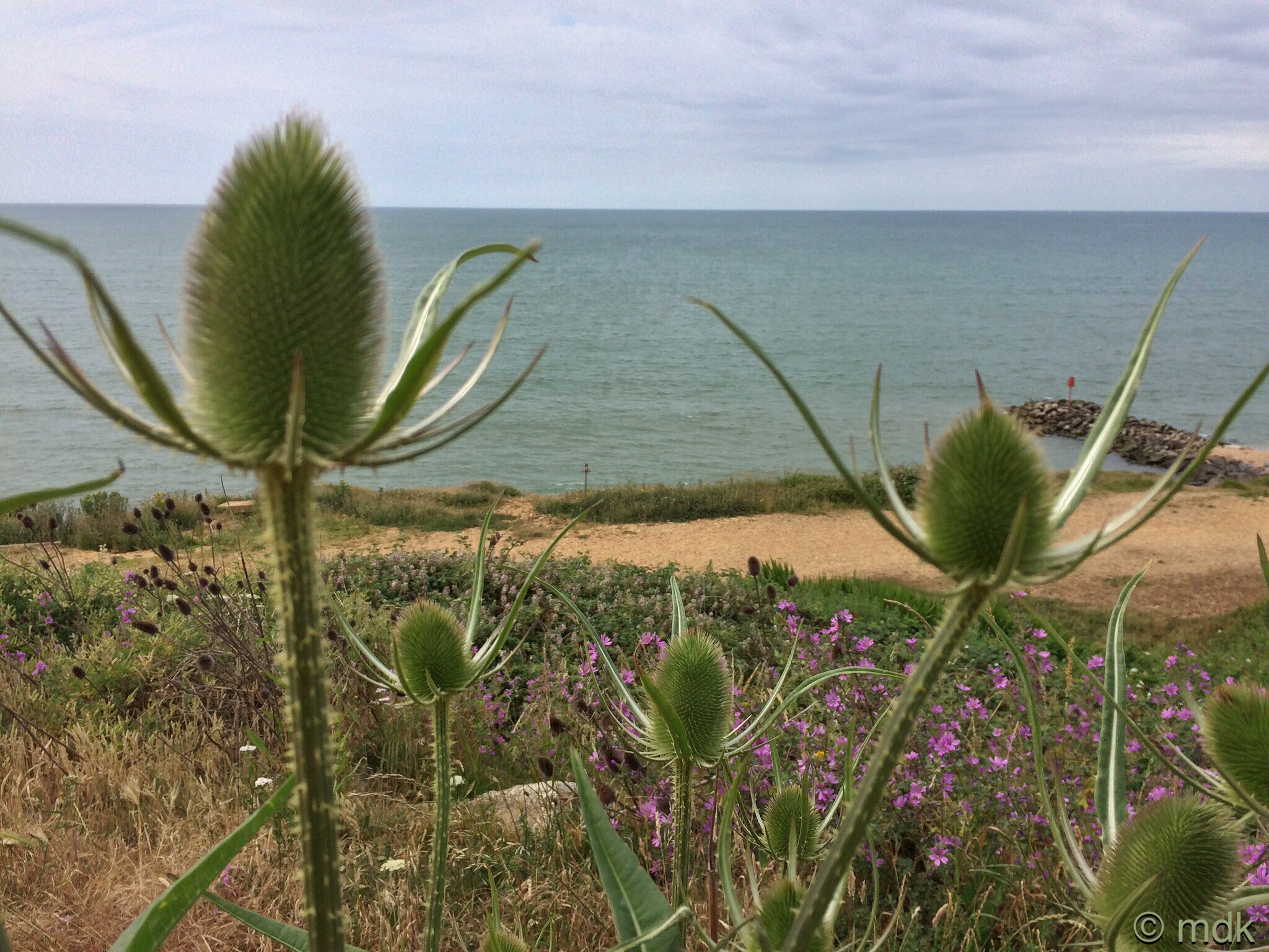
When I got to the bottom I was disappointed to see the beach was blocked off in the direction I wanted to go and emphatic signs warned of unstable cliffs and a very high chance of landslides. There was a gap I could have squeezed through but those are not the kind of warnings you ignore. It was obvious there had been some large landslides in the past. A considerable undercliff had built up below the ragged cliff edge and was being colonised by grasses and wild flowers. Pretty but possibly deadly.
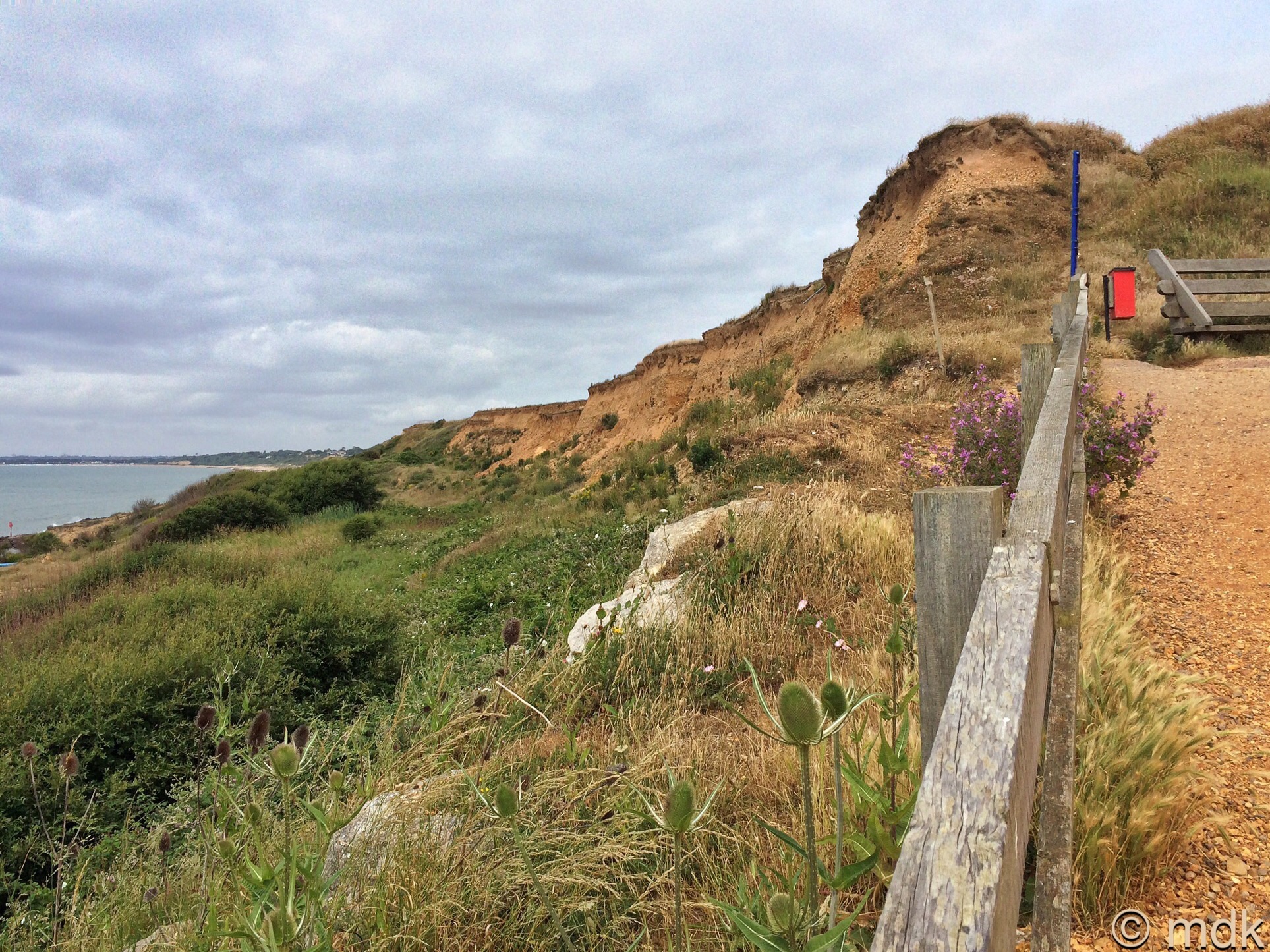
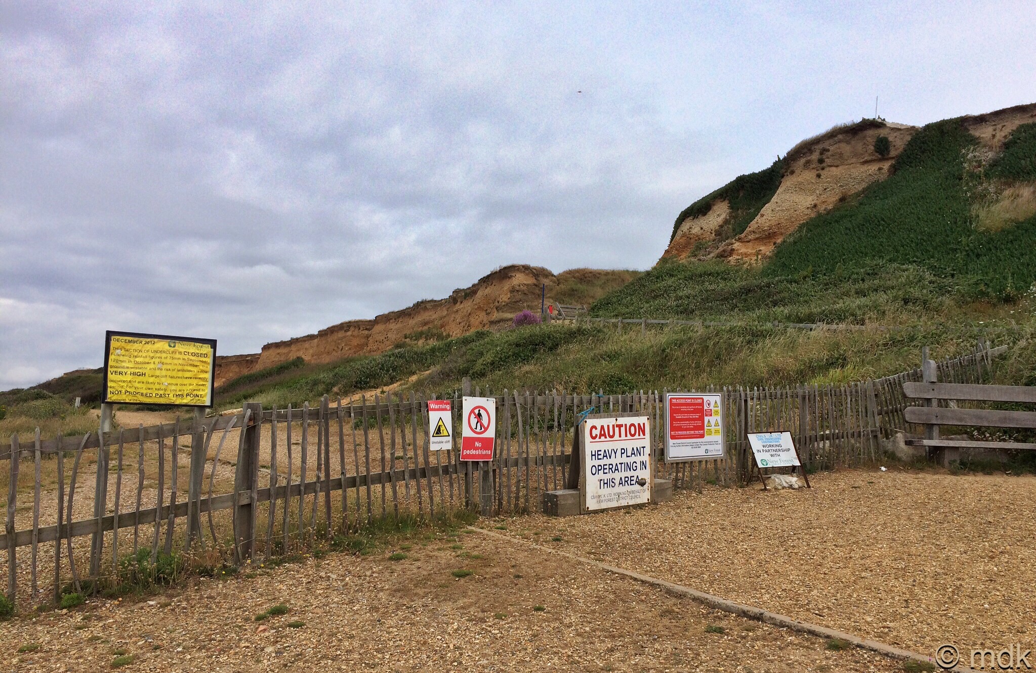

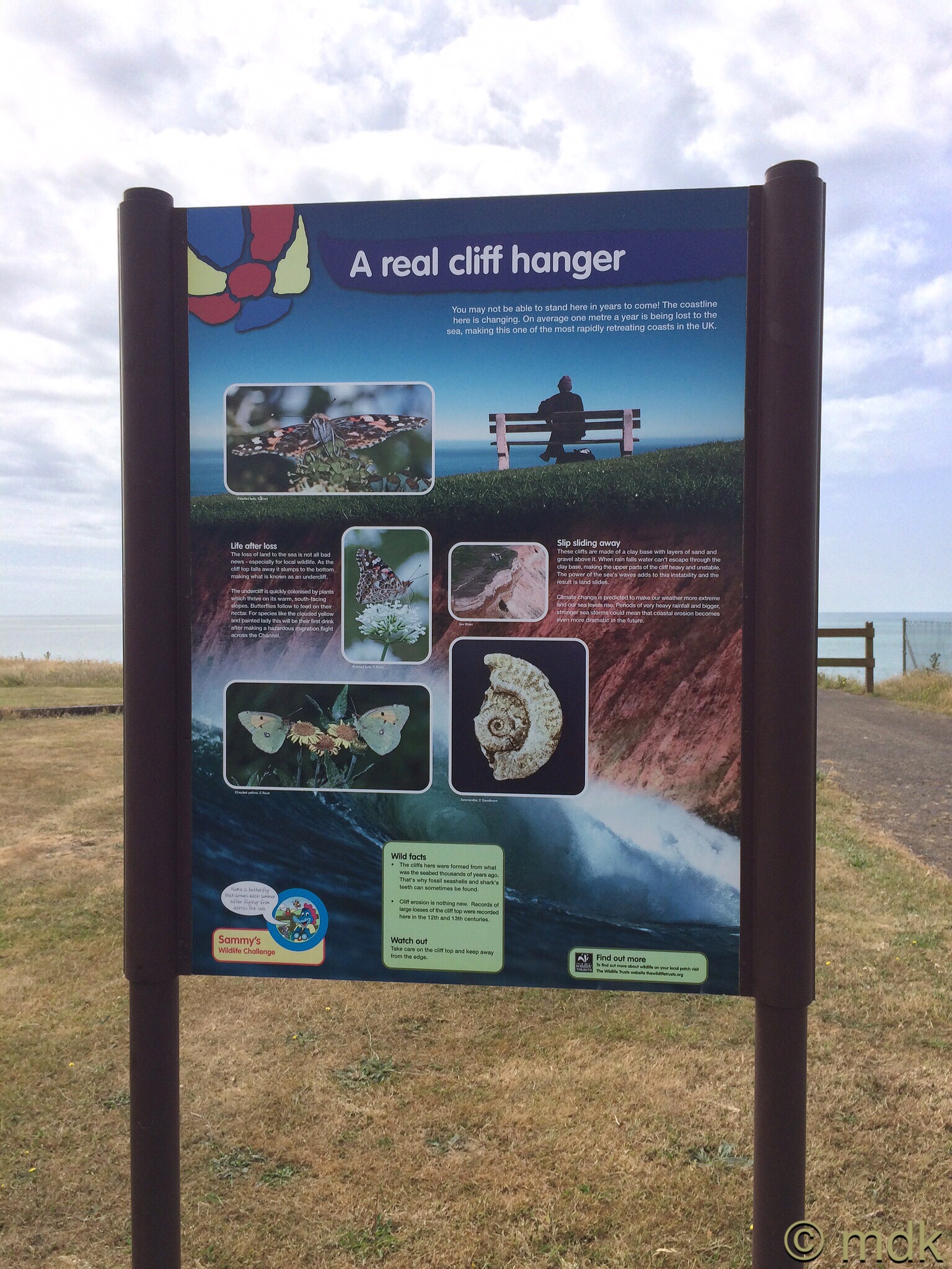
The cliffs here are made up of layers of clay, sand and gravel and they’re susceptible to erosion on two fronts. The sea works away at the base of the cliff and when groundwater seeping through the sand and gravel meets the impermeable clay things become unstable higher up too. It’s a recipe for disaster that has been well documented since the eleventh century. With a whole millennium of landslides and cliff falls the landscape has changed considerably since the Saxons first settled in Barton on Sea.
At times these cliffs have eroded by as much as a meter a year. At the beginning of the twentieth century the grassy promenade I walked on was one hundred metres wide, now it’s less than twenty. In part the sea defences further along the coast in Bournemouth are to blame. They stop the sediment that would protect the Barton cliffs. In the late 1930’s Barton built timber groynes to try to halt the damage but they fell into disrepair during World War II. In the mid 1960’s more timber groynes, a drainage system and revetments backed by large rocks were installed along part of the sea front. Later rock groynes were added, the first ever used, but the cliffs still crumble.
With my plans scuppered I sat on a bench at the bottom of the the path and tried unsuccessfully to get Google Maps to work. There were beach huts and a clear path towards Milford but I had made up my mind to go the other way so, in the end, I climbed back to the top of Hoskins Gap. From the top it was obvious I’d never have got through along the beach even if I’d been foolish enough to try. There were sections of path but there were also huge boulders and uneven ground. It looked as if there’d been some fairly recent collapses at the top of the cliff too. Huge chunks of grass topped cliff were hanging, poised to fall further.
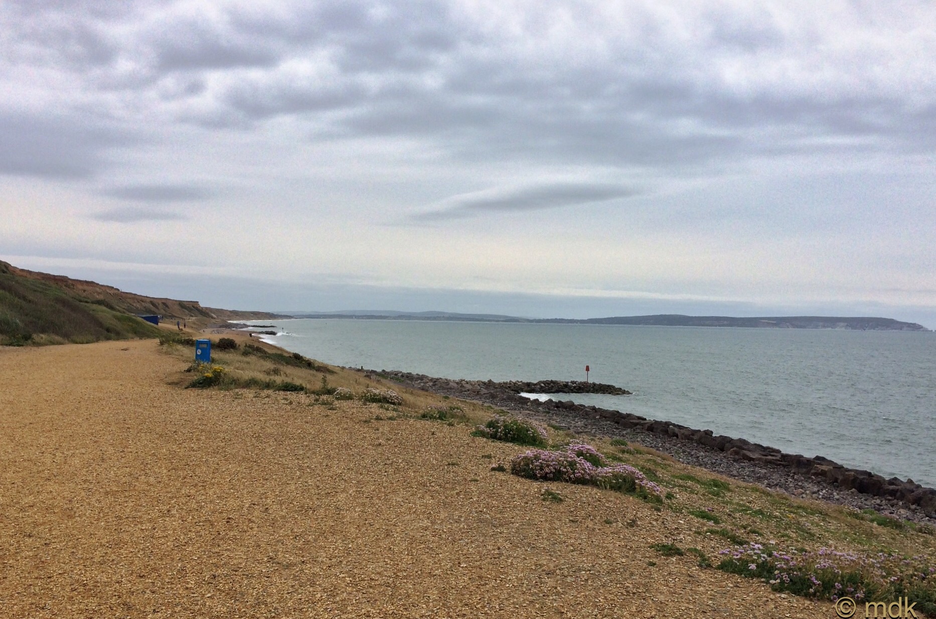
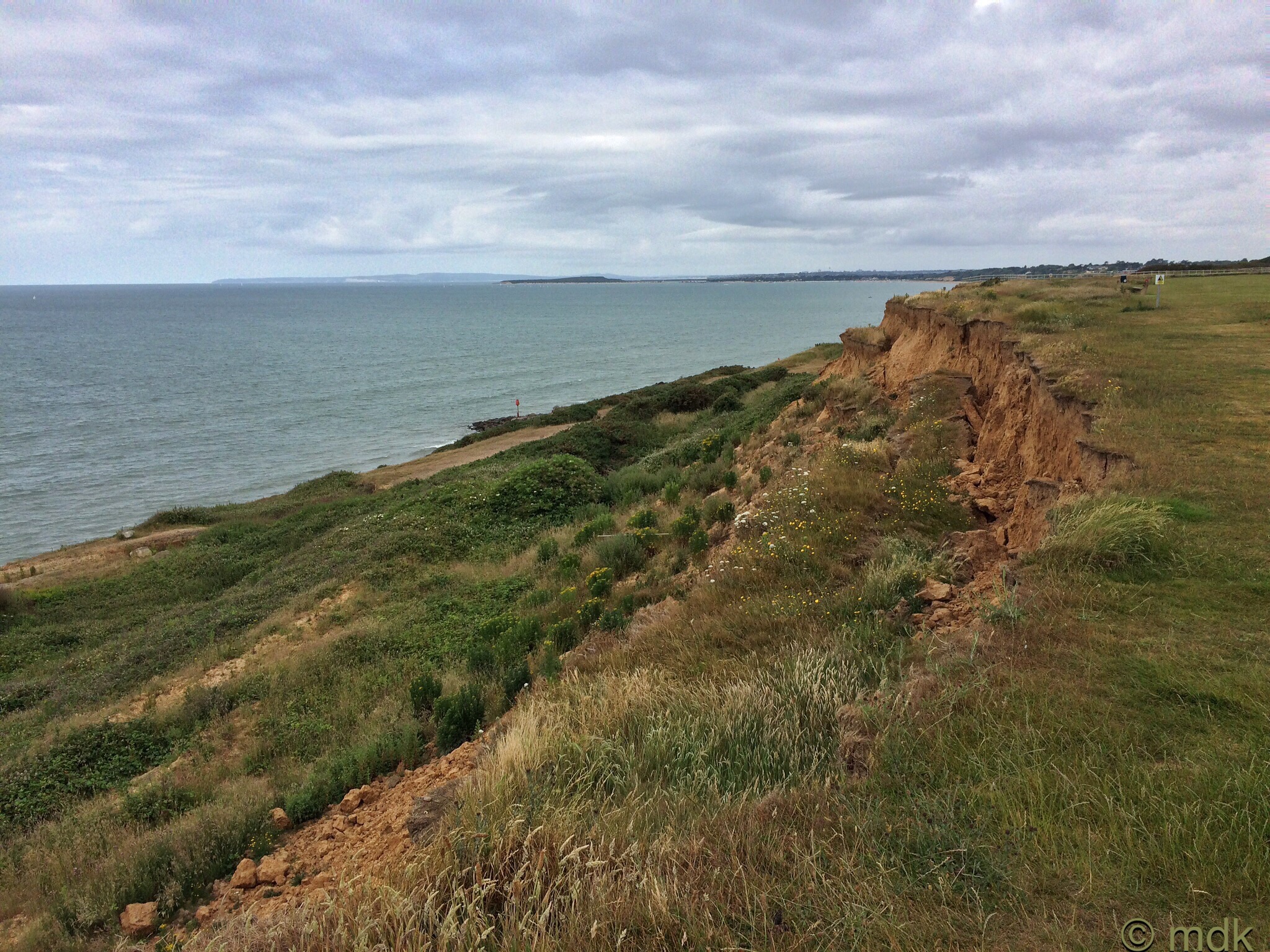
There was a path of sorts along the cliff top, a track of flattened grass I hoped was a safe distance from the edge. I walked along it feeling slightly uneasy. In places it came fairly close to the cliff edge and I could see lips of grass and soil supported by nothing but air. Fence posts, wire fencing and bits of debris that had once been on the ciff top were now tumbled down onto the undercliff.
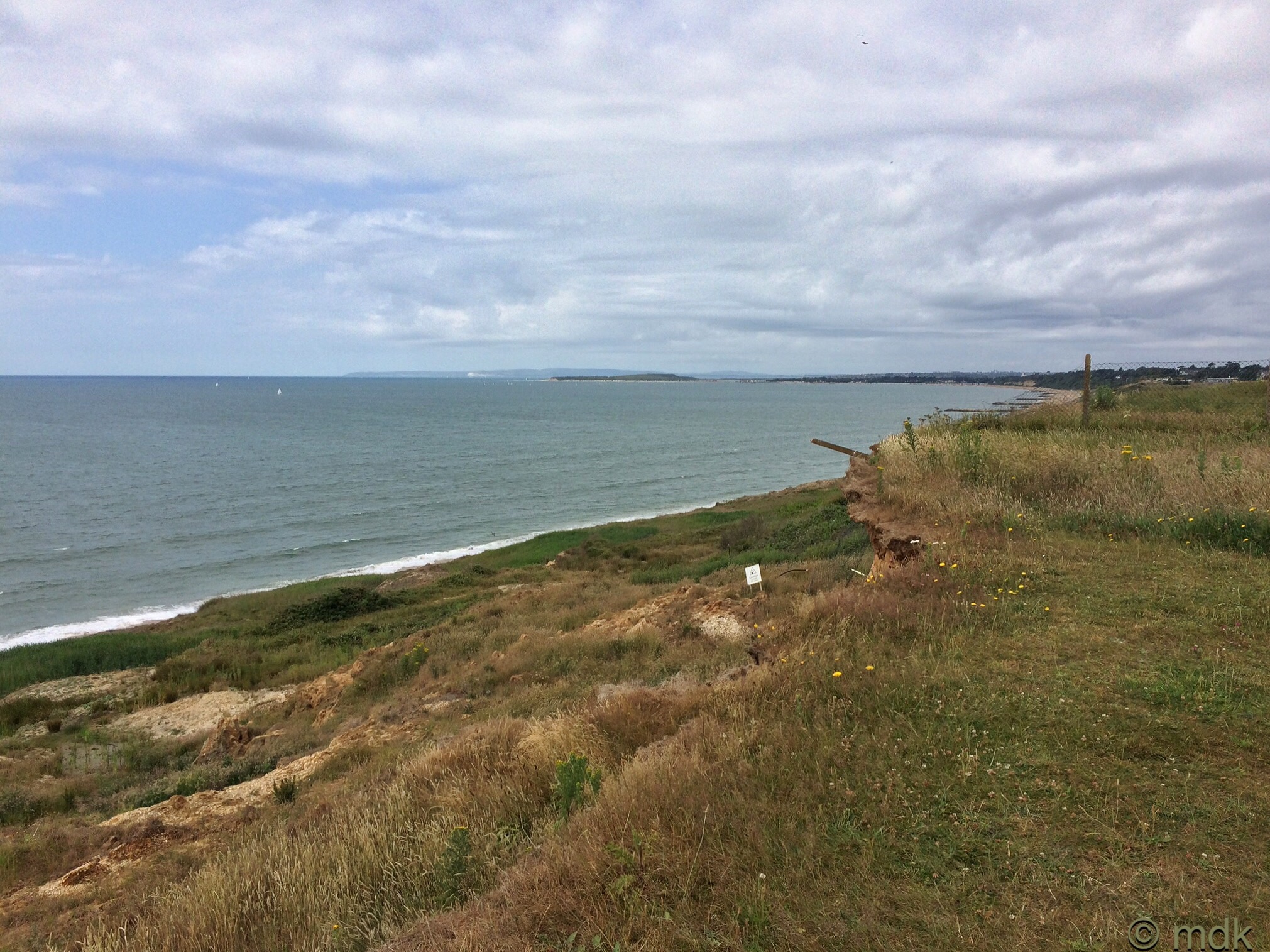
In fact, when the remains of a fence, blocked me off from going any further I thought I might have made the wrong choice. When I followed the fence back to the road it was a dead end. There was a gate, leading to the next stretch of grass but this seemed to be a carvan park and I guessed it was probably private. Ok, I didn’t guess, there was a sign telling me it was private but I pretended I hadn’t seen it because, without the aid of Google Maps, I had no idea how to get around this obstacle so I decided to trespass and go through.
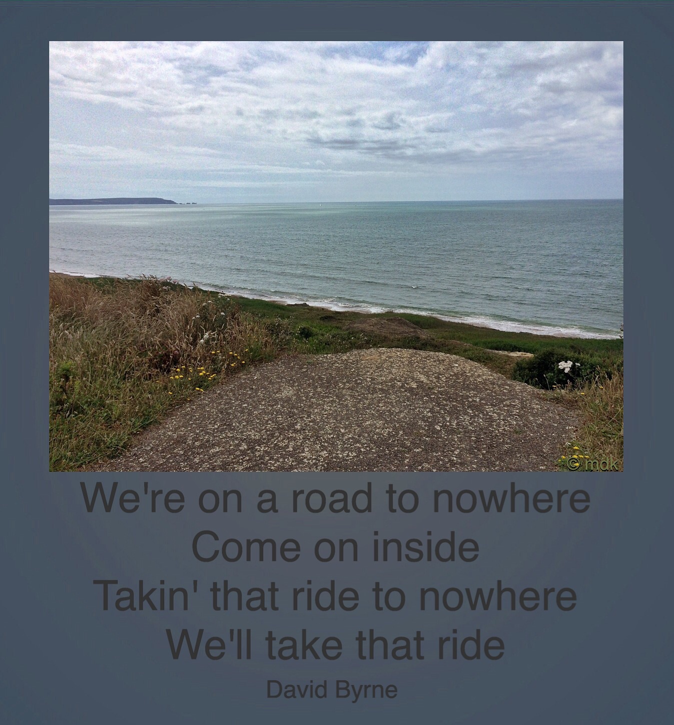
On the other side of the gate the path I’d been following continued. Later I learned that although there is no public access to this path, the local council seem keen to open it up to the public, so I was probably lucky I wasn’t challenged. The pretty mobile homes all seemed to be set well back from the cliff edge for obvious reasons but every so often I came to tarmac paths that ran up to the edge and then crumbled away into thin air. These roads to nowhere must once have led to other mobile homes and I wondred if they’d tumbled down the cliff or been moved before they did?
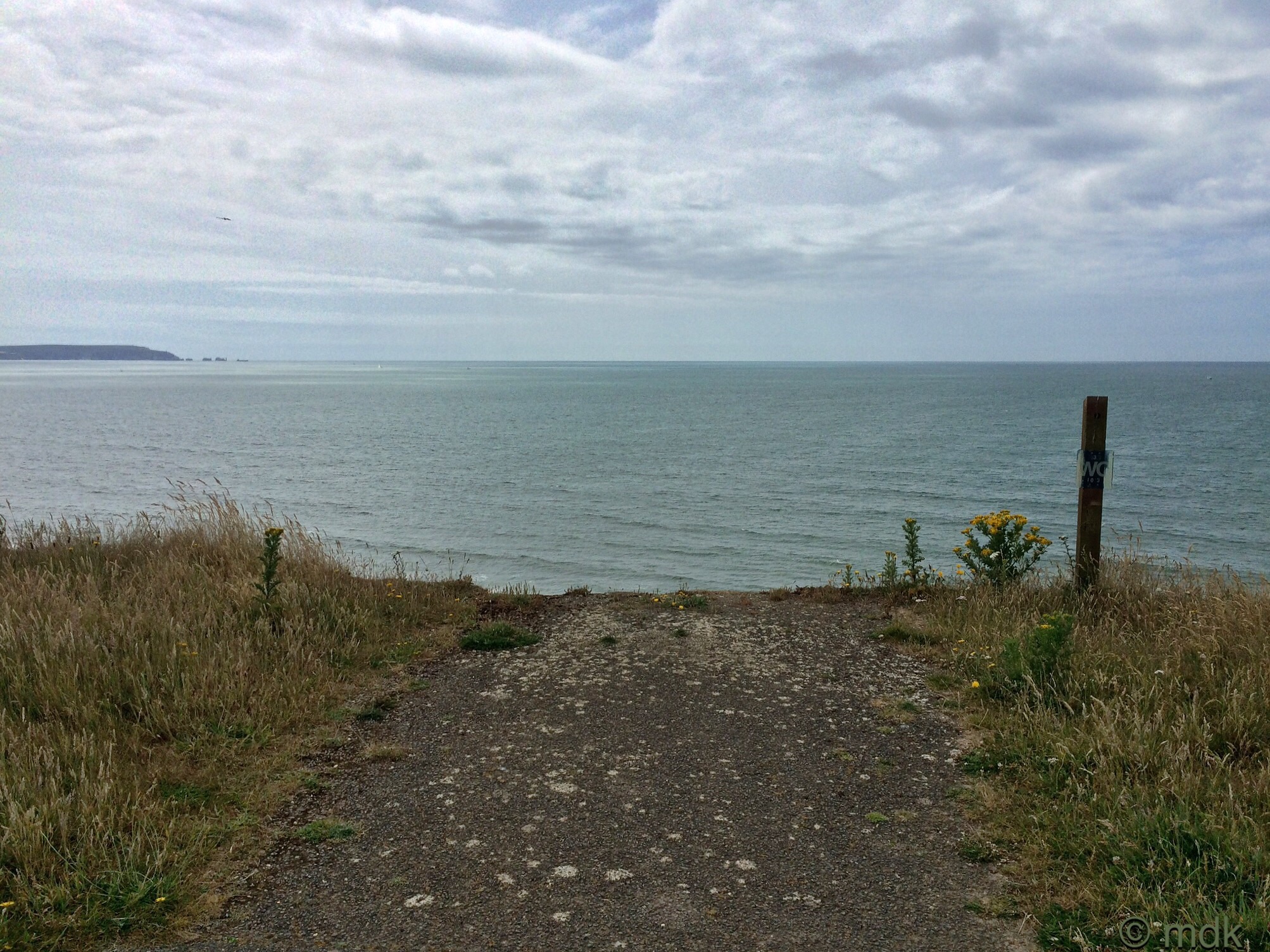
From time to time I crossed patches of flattened grass and concrete that must once have been caravan bases, there was even a path of paving slabs that looked like it was once the edge to a garden that had disappeared over the edge and a sign that said WC. Perhaps there was a toilet block laying smashed down on the undercliff? Everywhere there were yellow danger signs.

The grass trail disappeared into some trees and scrub and as I got to this I saw the clearest sign yet of the slumping cliff. A section of wall and what must once have been a concrete floor was hanging in the air, another huge chunk of concrete just below. Whatever this building was it had fallen down the cliff.
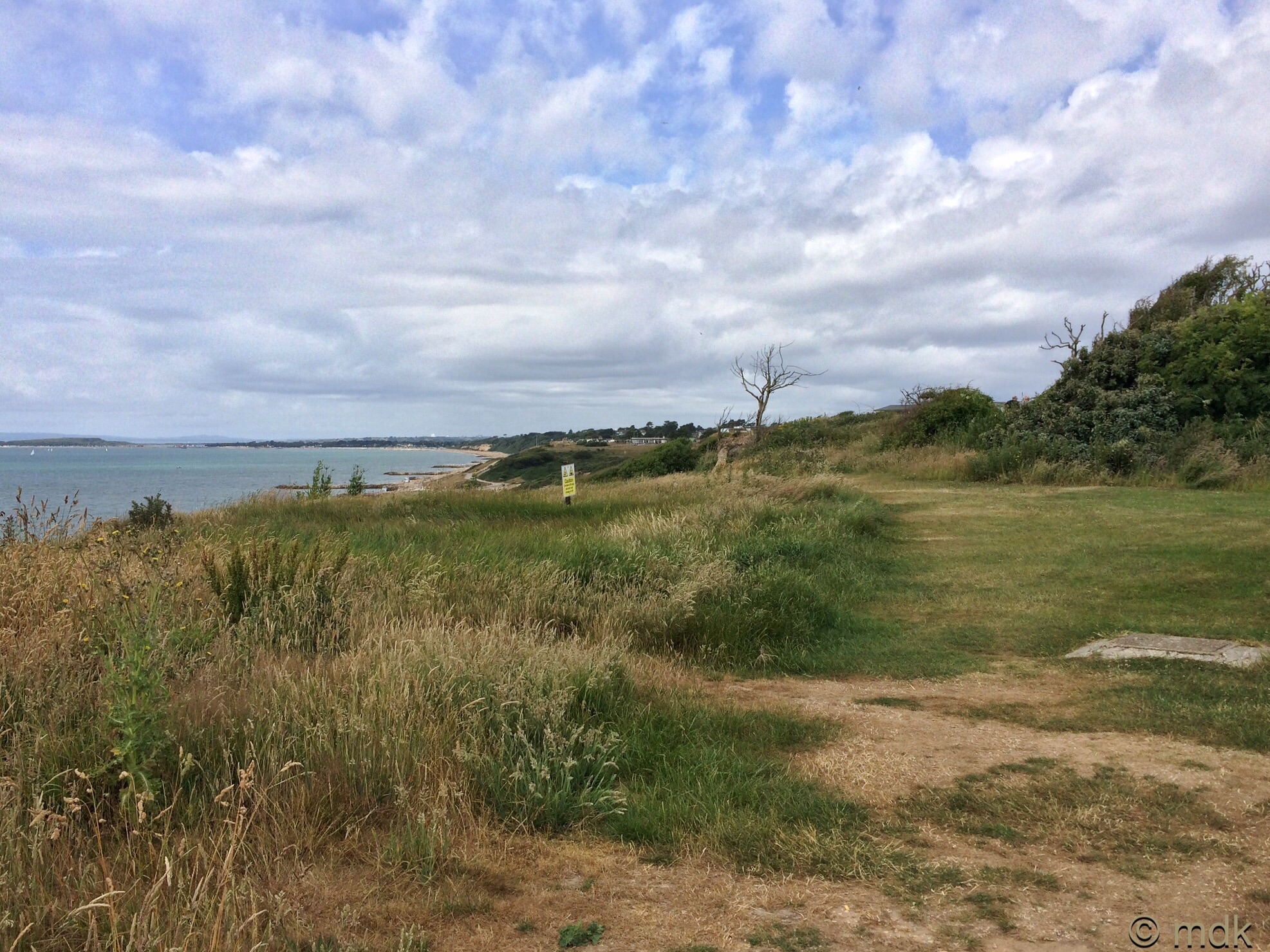

On the other side of the trees there were expensive looking chalets and I began to get a little worried that someone was going to ask me what I was doing there. The few people I saw wandering about ignored me though and, after a bit, I began to relax although I wasn’t sure how I was going to get out of the holiday park. When I saw another wire fence looming I thought I might have to turn back but, just before I got to it, there was another road to nowhere with a sign saying To The Beach.

Although the sign seemed to be leading away from the beach rather than towards it I followed. It was that or turn back after all. More signs led me through streets of holiday chalets. They were so nice I felt I could easily set up home in one. Huge glass doors opened out to sea views. Some had raised decking with glass panels to protect against the sea breeze, others had rooftop decks like sea viewing platforms. As I walked I tried to look as if I might be staying in one and knew where I was going.

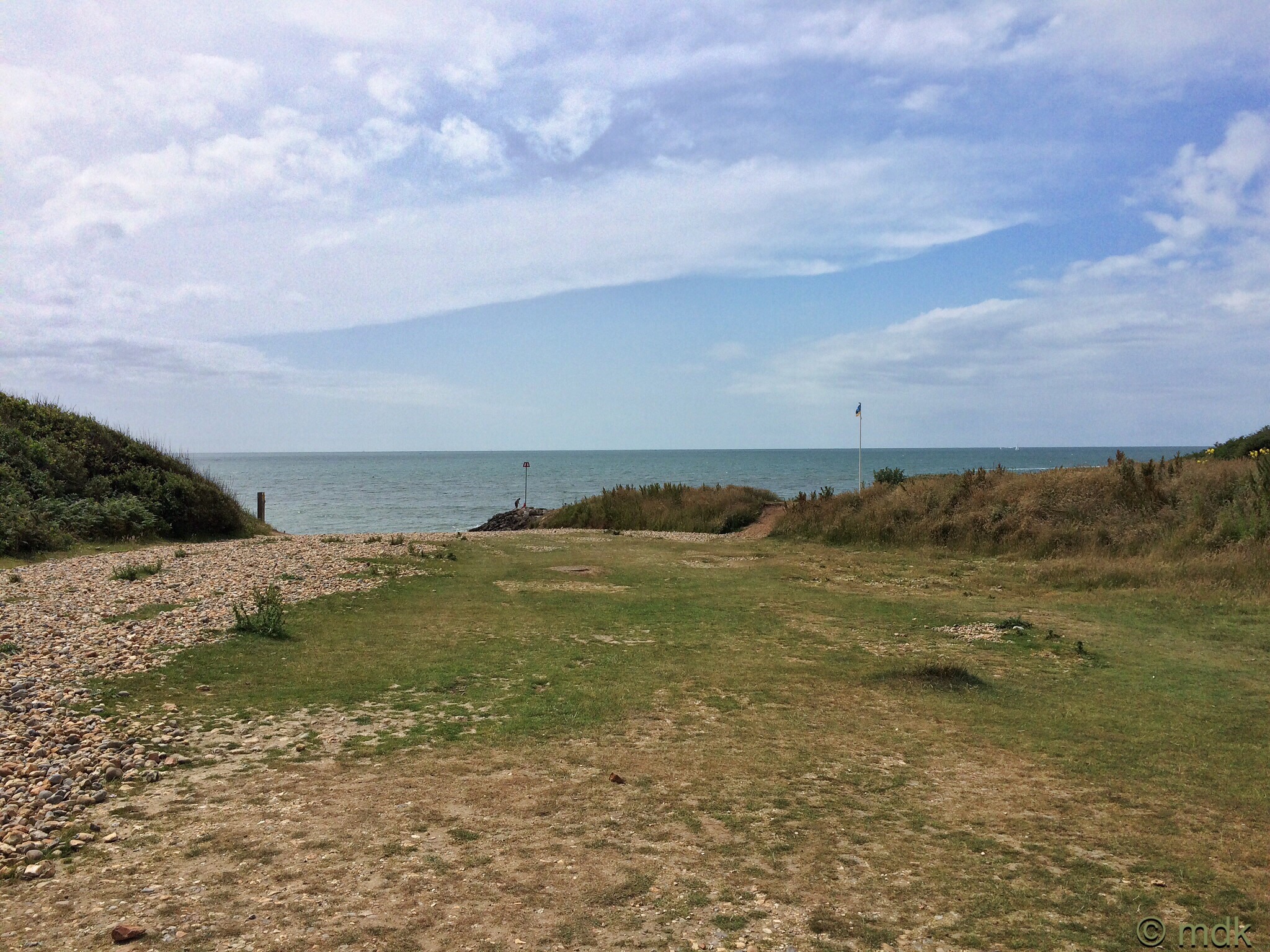
Finally I came to a gravel path sloping down through some trees. Further on there were steps and, near the bottom, I could see the sea.


Enjoyed going with you on your walk, look forward to the next part.
It wasa pleasure to have you along, even virtually 🙂
Cliff edges are good places to stay away from. I just went through the same thing along the river. The drop wouldn’t have been as far but it still would have been unpleasant. And you can never tell when they’re going to let go.
It was nerve wracking but the path was mostly well away from the edge.
I remember those cliffs! And, like you, I dithered about wondering if it was worth the risk trying to make my way through despite the warning signs. In the end I didn’t try, although I saw others doing it. Must have got worse since then. Thank you for bringing back the memories 🙂
I did think of you when I was standing there and wondered how you’d got on. In fact later I went back and re read your post about it. I think if the tide was out you ,Ight have a chance of getting through but it looks as if there have been very recent falls so I was t going to risk it.
Nervous moments. That was not a walk for me.
It was a nice walk but I was very aware I should stay well away from the edge.
Love these bite-sized chunks of your walks. Looking forward to what comes next. WordPress is super slow loading photos today but yours do look lovely! Was it warm?
Glad you enjoyed reading Martha. It started off wet and warm and then got quite humid as the day wore on. Not the best walking weather but I did enjoy it anyway. My wordpress is being very slow loading photos today too. I thought it was my broadband.