8 February 2015
On on the face of it Pear Tree, seems an odd name to give to a green, a church or an avenue but there was once an ancient pear tree, almost rent in two by lightning that, miraculously some might say, survived and still bore fruit. Back in 1618, when the little church was built the whole area, from Bitterne Village at the top of the hill down to Itchen Ferry Village was woods and heathland known as Ridegway Heath. So famous was the old pear tree that the green on Ridgeway Heath was named after it. When a post on the Southampton Heritage Facebook page mentioned an air raid shelter on the green and a World War II tented camp I thought I’d go and take a closer look.
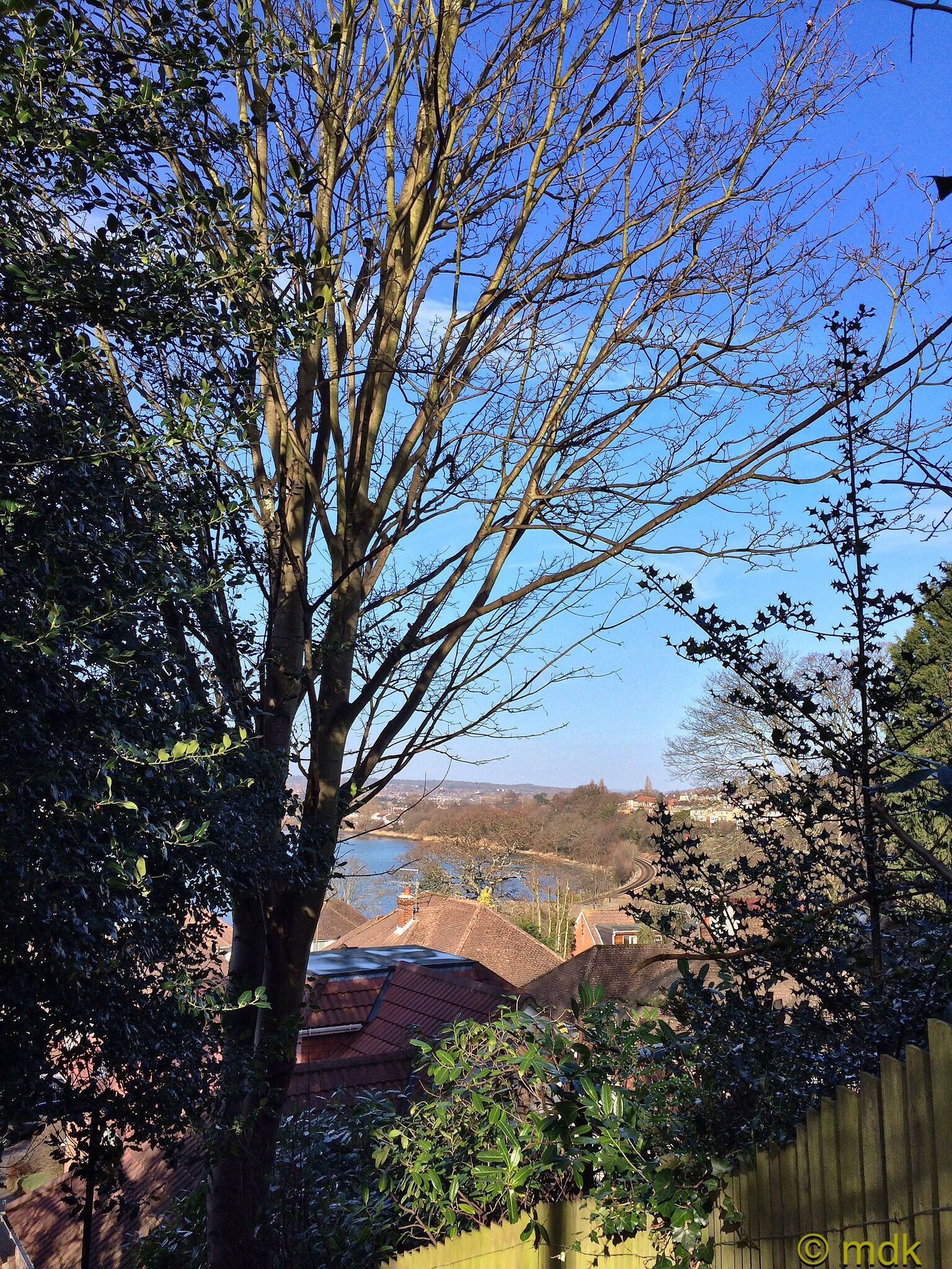
Just over a year ago, depending on the weather and my mood, my walk to and from work often took me across the green so it’s an area I know quite well. In fact, in the summer of 2013, I explored it quite throughly after a large fire. Still, it’s not far from my home and, as the sun was shining on Sunday, I thought it would be nice to revisit it. Before I left home I had a look at some old maps of the area on old-maps.co.uk . These showed me that the back streets I used to walk through to get to the green were, in the 1920’s and 30’s, the Ridgeway Golf Course, a nine hole course with a club house and bar. Without the houses there must have been a wonderful view over Chessel Bay.


It didn’t take long to reach the northern edge of the green and start along the small track that cuts between the houses and leads up the hill to Peartree Avenue and Sea Road. The area between Sea Road and the railway line was the part I was interested in so I turned off onto one of the mass of little trails that criss cross the green through a small woodland copse. There were gravel pits here a hundred years ago and, under the mud, the ground is still stony.
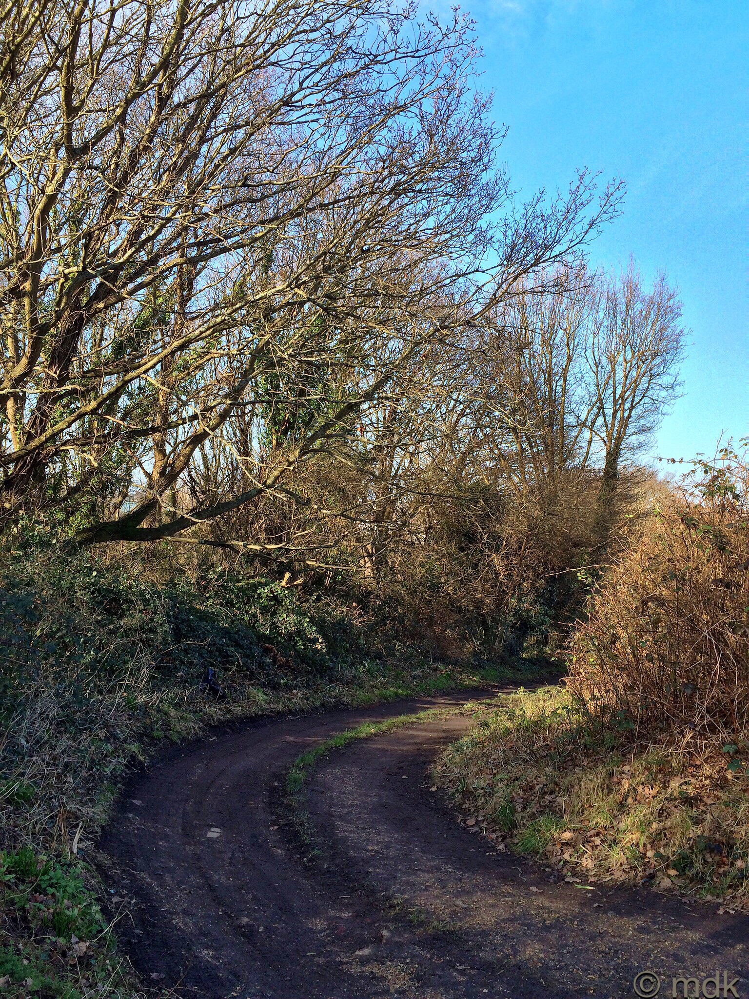
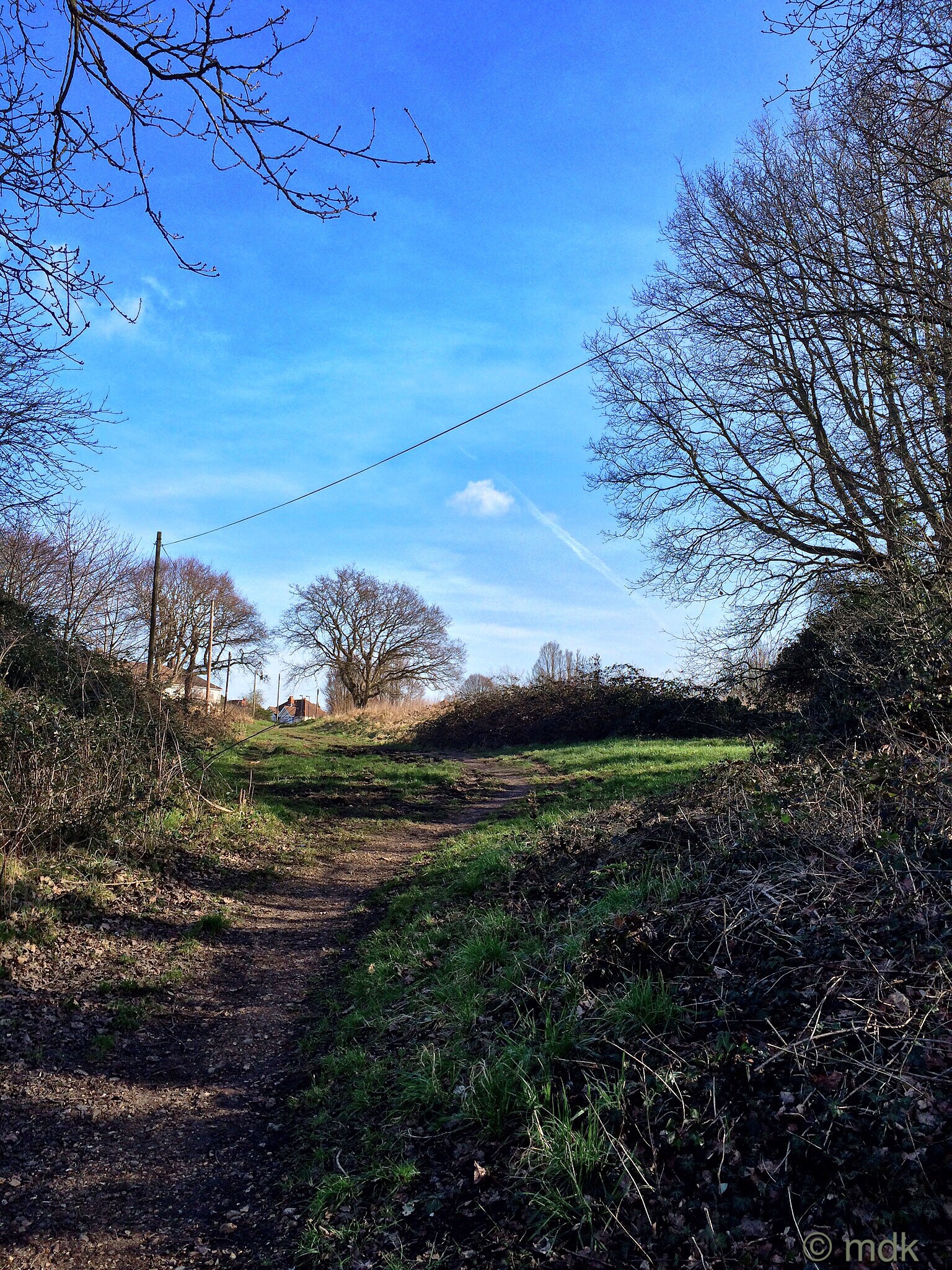

Although the other side trails were tempting I knew I could spend all day trying to follow them all and I’d undoubtedly get lost, so I stuck to my tried and tested path winding up through the woods. There was a little mud but nothing too taxing. The sun shining through the bare branches turned the path into a patchwork of light and shade. In a month or two there will be wildflowers and blackberries.

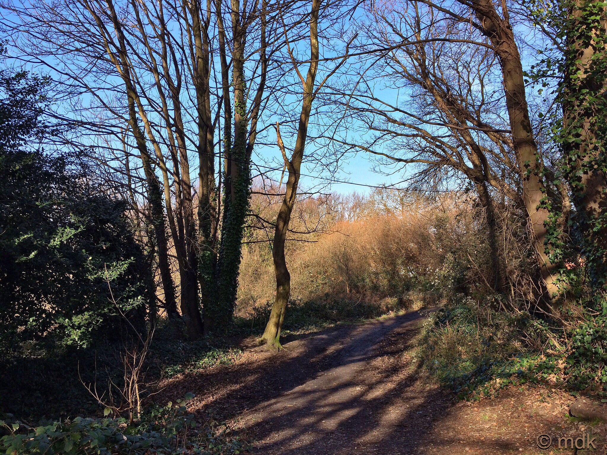

As I emerged from the copse I turned off into a small clearing and down a trail that would lead me around the perimeter of the green. From the top I could see the stadium across the Itchen. It was muddy enough that I had to watch my footing as I wound my way through brambles and scrub out onto the wider, undulating grassy trail that runs beside the railway line. Luckily the mud was still frozen in places which made the downhill journey a little easier.


Rumour has it that, during World War II, this area was used as a military camp. Apparently there were bunkers and shelters. As I made my way across the rough grass with a view of the Itchen Bridge on the horizon it certainly seemed possible. Southampton was a major embarkation point for the D-Day landings and Mother told tales of trenches in the streets and camps full of American soldiers. There were certainly large camps on Southampton Common and, looking at the terrain, full of deep dips that could well have been bunkers, I’m inclined to believe it.

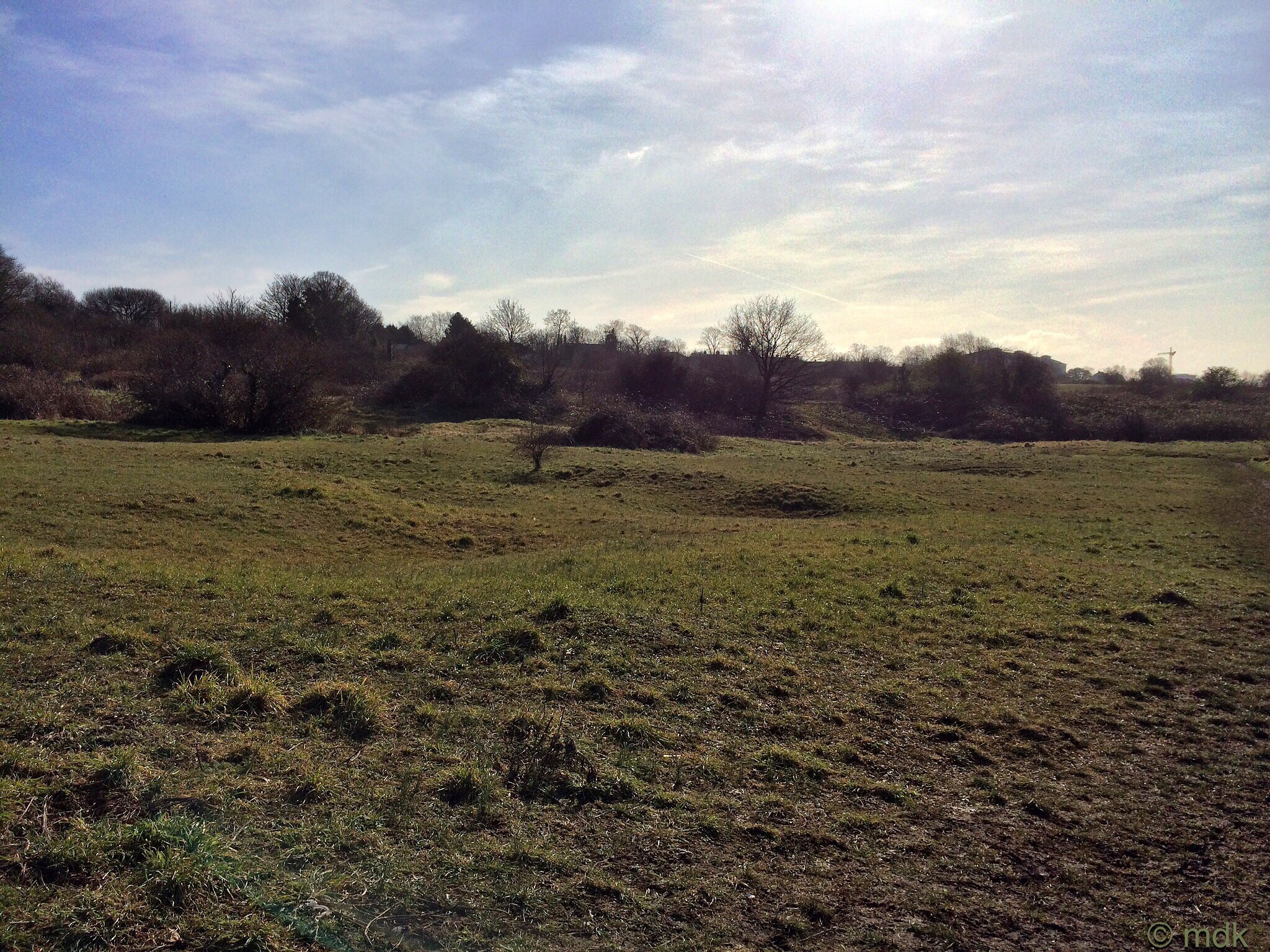
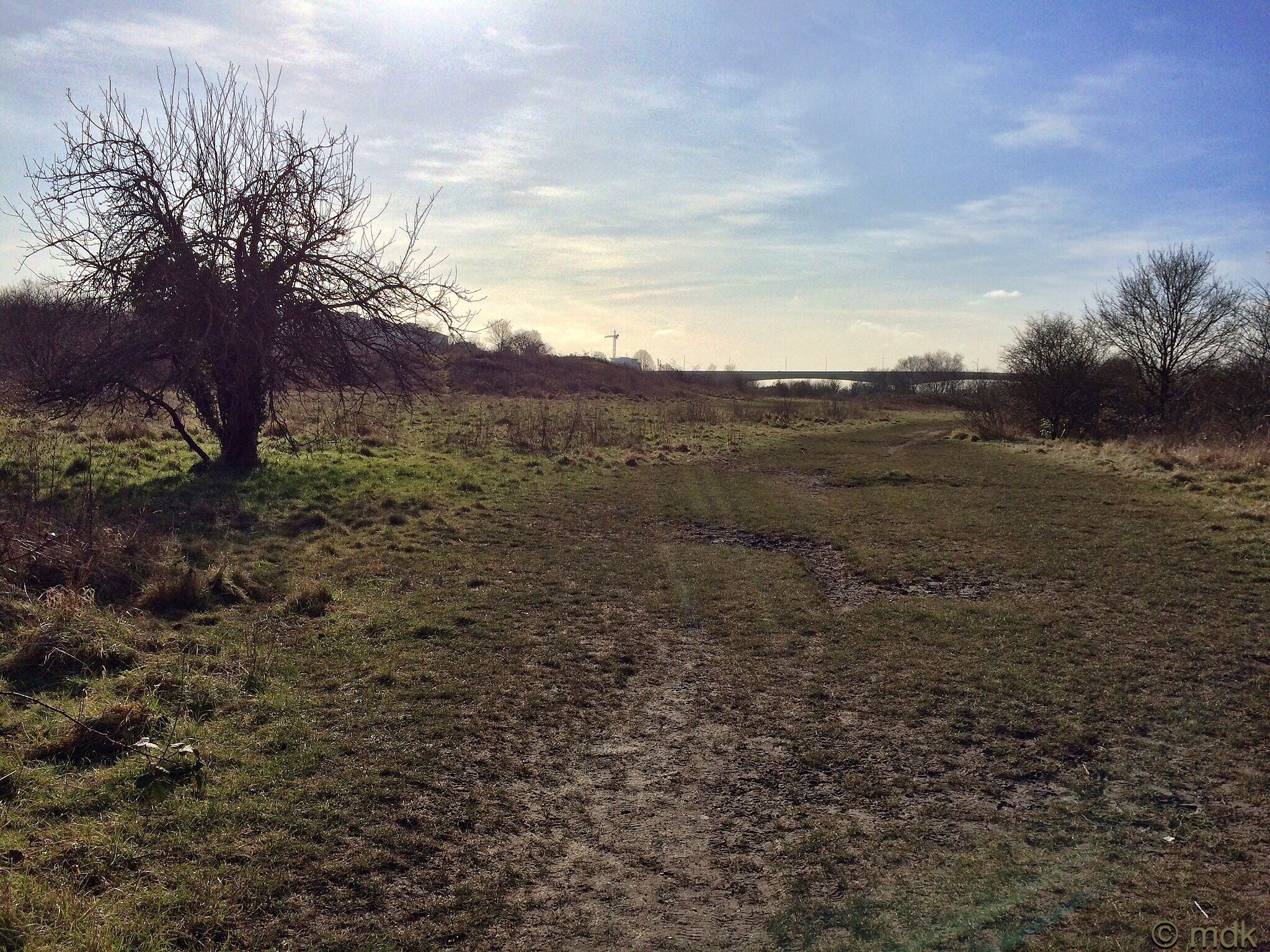
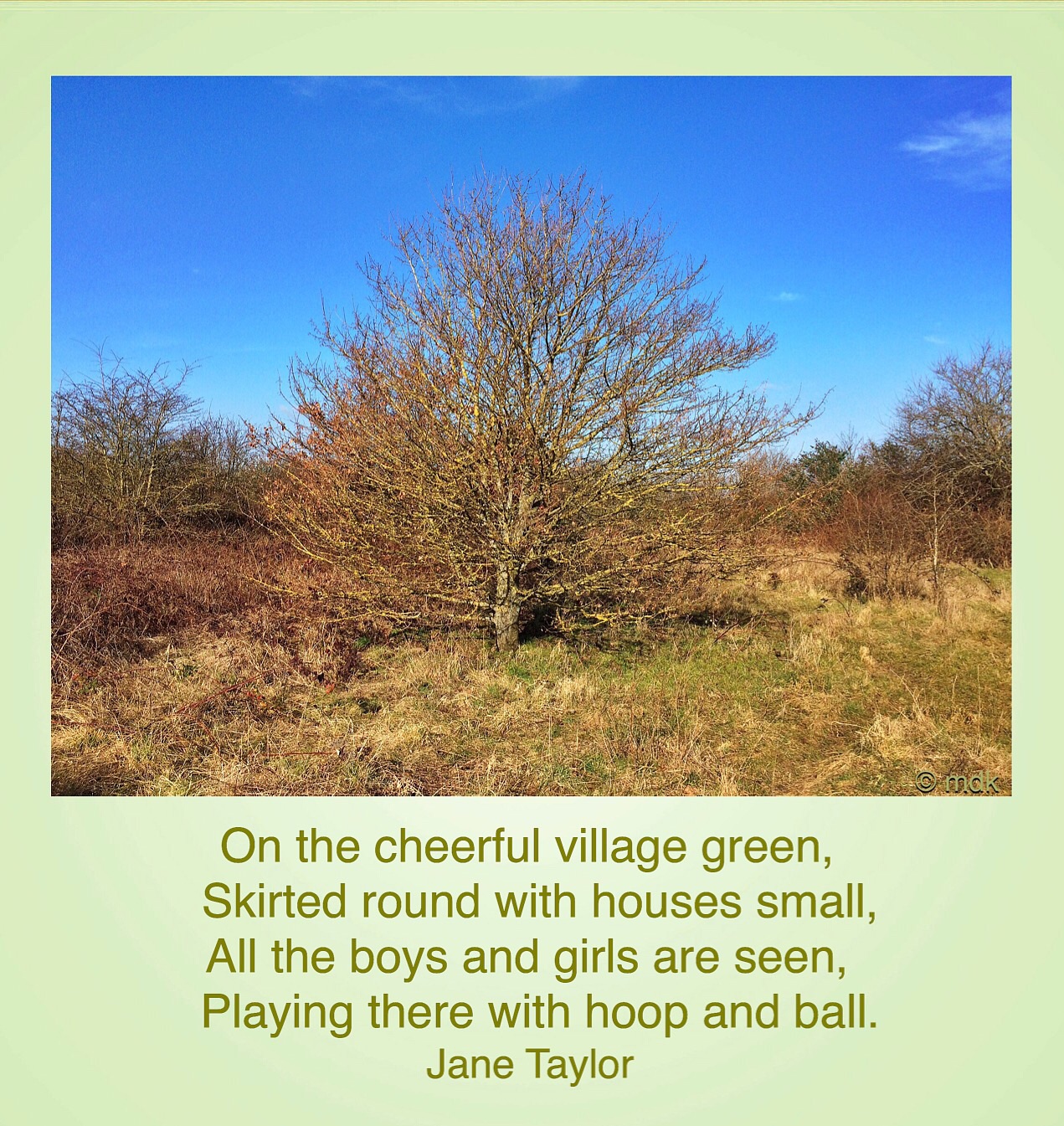
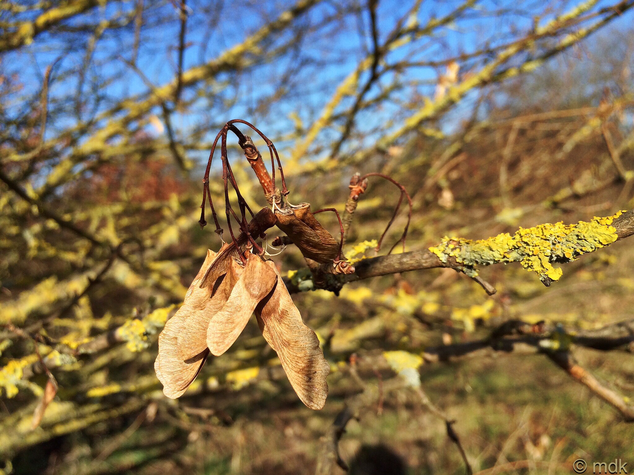
To to my right small trees and scrubland screened the railway line from view. One tree in particular stood out, it was so covered with lichen it seemed to glow and I had to have a closer look. From the dried out seeds hanging from those lichen laden branches it was a maple. This grassy area, dotted with trees and patches of bramble and gorse is a basin with the railway line running along one edge and I was fast approaching the steep slope at the southern end. For a moment I stood looking back the way I’d come while the winter sun gently warmed my back. In the distance I could make out the trees of the little copse. Ok, so this was more a procrastination to avoid climbing the slippery, mud covered slope but it was a pretty picture nonetheless.
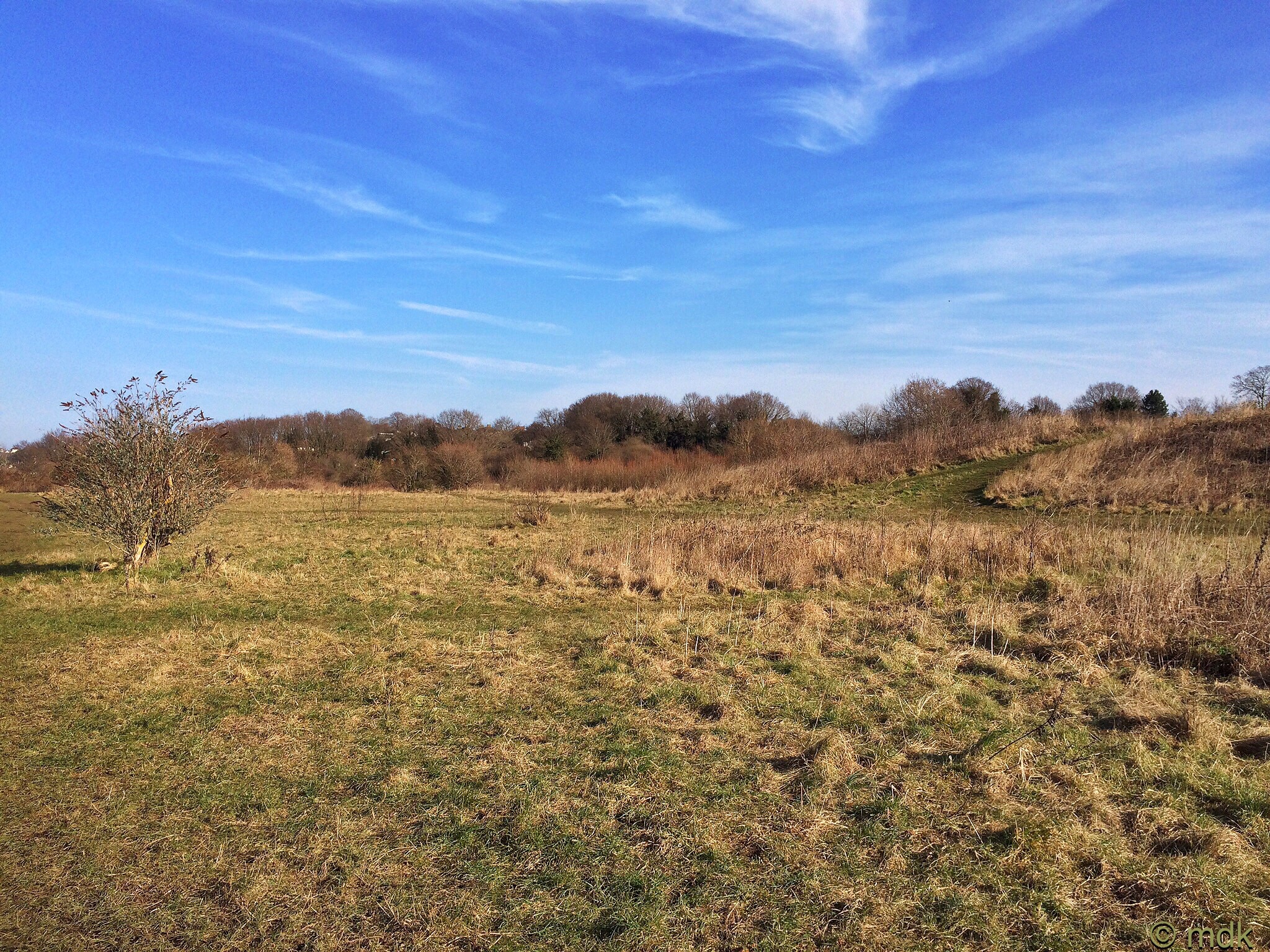
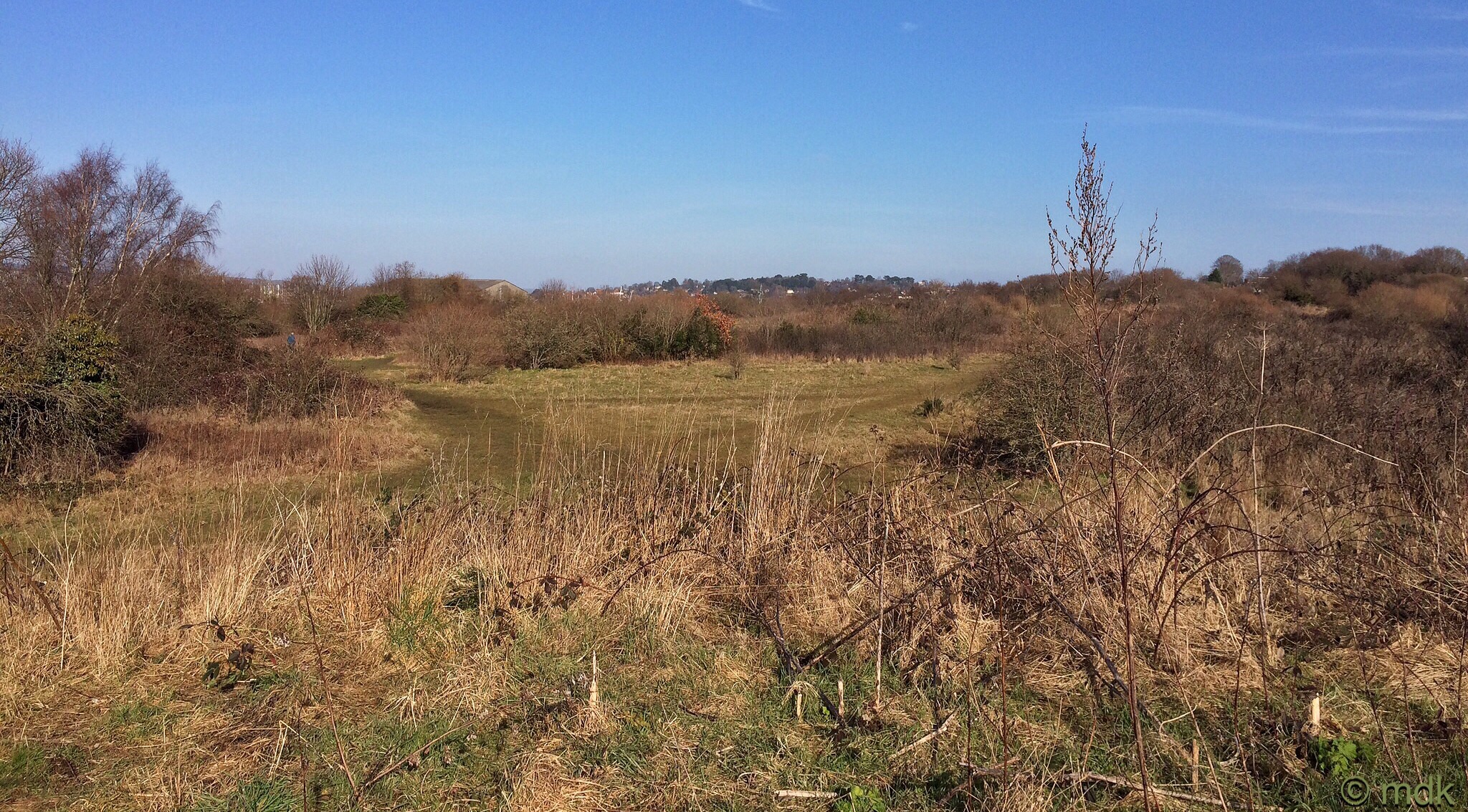
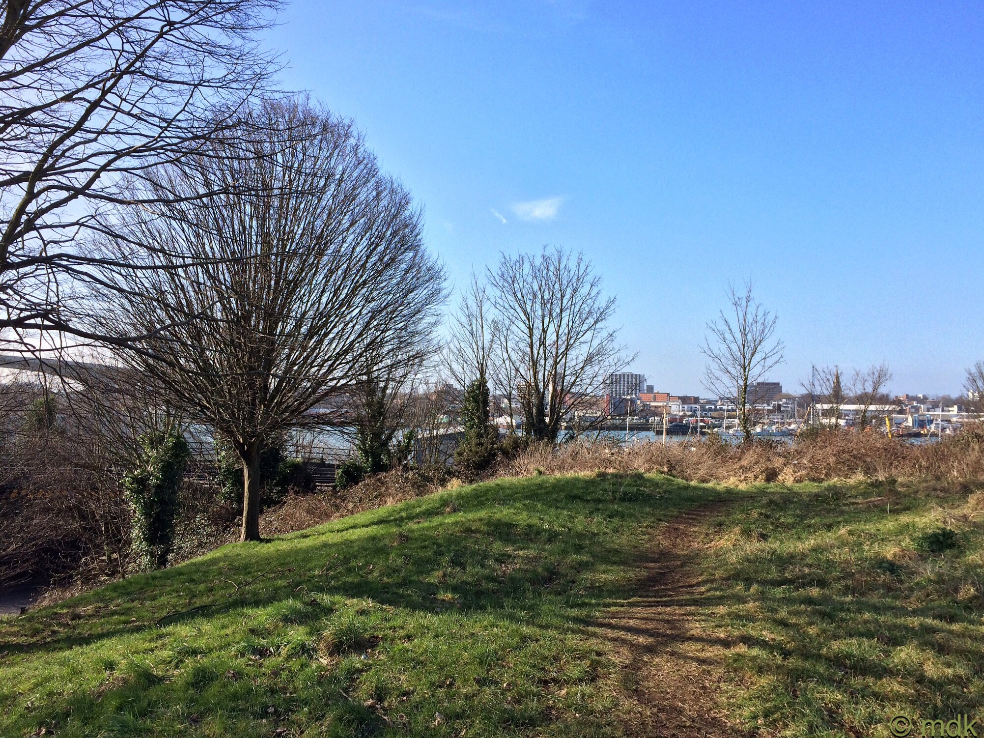
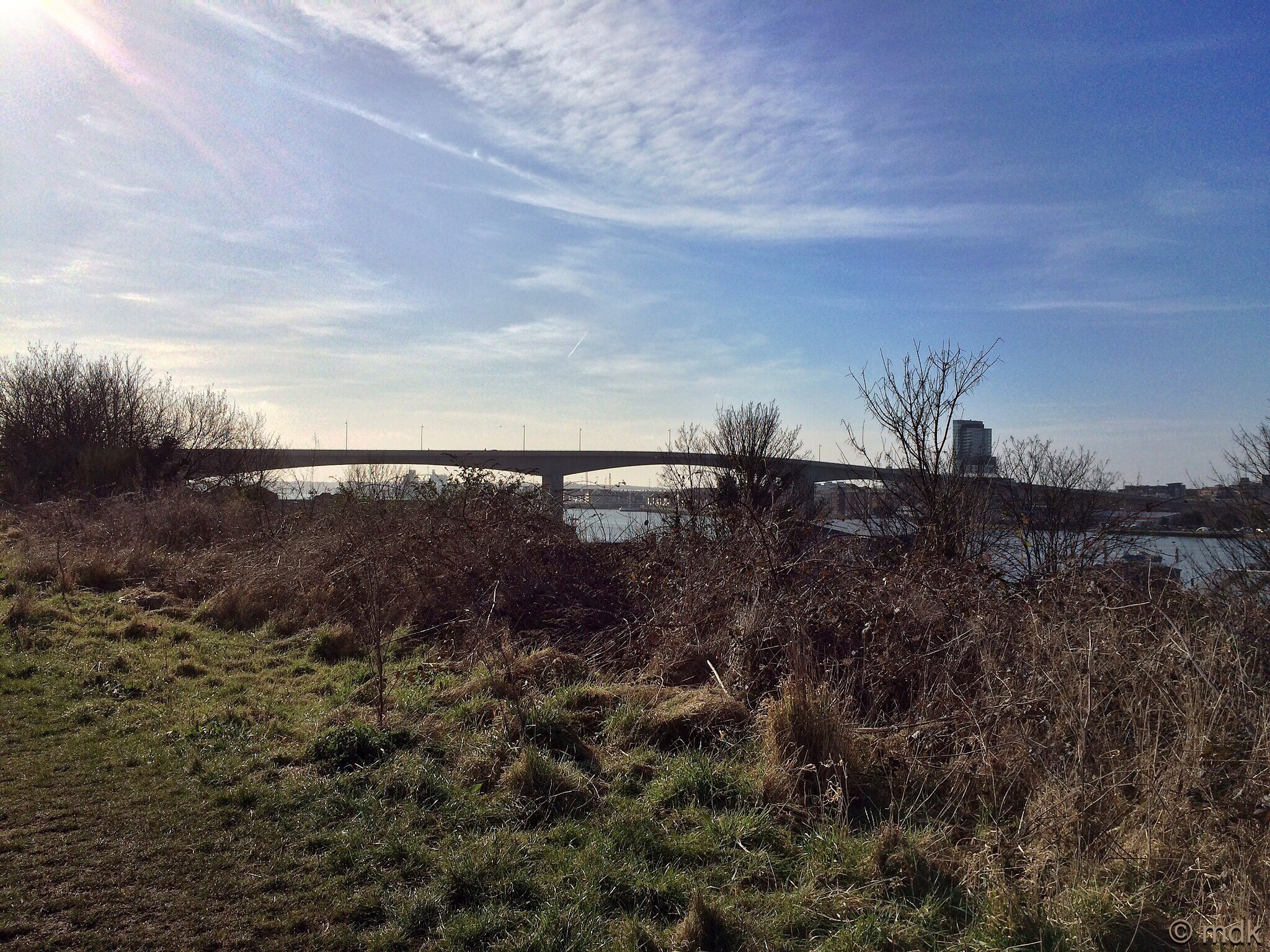
At the top I stopped to let my heart rate get back to normal after a few hairy, slippery moments. The views across the green are stunning. On the far horizon I could make out the dark trees of my village and I thought back to another Sunday when I’d stood looking over the blackened ground and burnt gorse after the fire. You’d never know it had happened to look at it now. Just then a train shot past, almost making me jump out of my skin and sending my heart rate soaring again. When Commando was a boy this was his playground. Back then the railway line wasn’t electrified or fenced off and he rememberes playing at being a train driver in some old abandoned goods trucks. Across the railway line the narrow shoreline is crowded with industrial units and, beyond these, I could see the water and the opposite shore with the spire of St Mary’s Church and my old office building. Turning a few degrees to my left the graceful span of the Itchen Bridge dominated the sky line.

The story of the tented camp of World War II soldiers may have illuded my research but the Supermarine air raid shelter really was somewhere beneath my feet. Not far away the factory where the iconic spitfires were built made this area a target for bombing and it’s well documented that an air raid shelter on the green near the railway line took a direct hit on 24 September 1940. In fact, as I was trying to find out more I read a first hand account written by a young apprentice in the factory. When the air raid siren sounded he and a friend were the last out of the factory and, on reaching the shelter, they found the door was closed so ran up the embankment and took what shelter they could on Peartree Green. These days there are often aprocaphal lucky escape stories but, back then, stories like these were common place. Mother told me enough of her own for this one to be completely believable. It is doubtful whether the bodies were ever recovered and, like many quiet areas of the city, this is almost certainly a mass grave.

Steeling myself I climbed slowly down the muddy bank to the road, hoping no one was watching my precarious progress. Being steeper than the upward climb it took far longer giving anyone watching a good chance to have a laugh at the middle aged woman in a silly hat and stout books picking her way down whilst flapping her arms manically every time she slipped. Still, I like to be entertaining. At the bottom I stood for a moment looking at the ragged wall that, along with my reading, told me this was almost certainly the place. Apparently the bridge was destroyed so I could be wrong about the wall, if not the exact spot. It seems to me the area could do with a plaque but I supposed the city would be covered with them if every blitzed building and shelter had one.

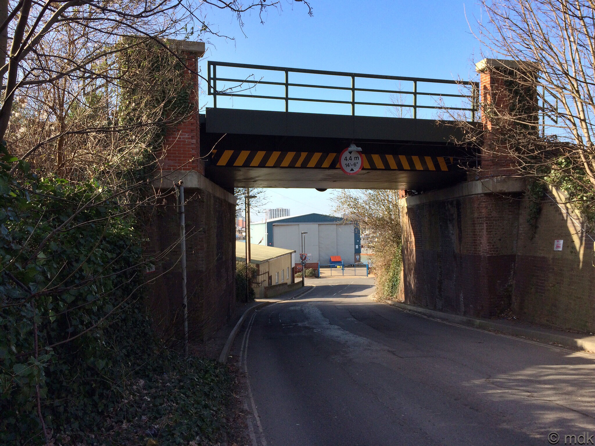
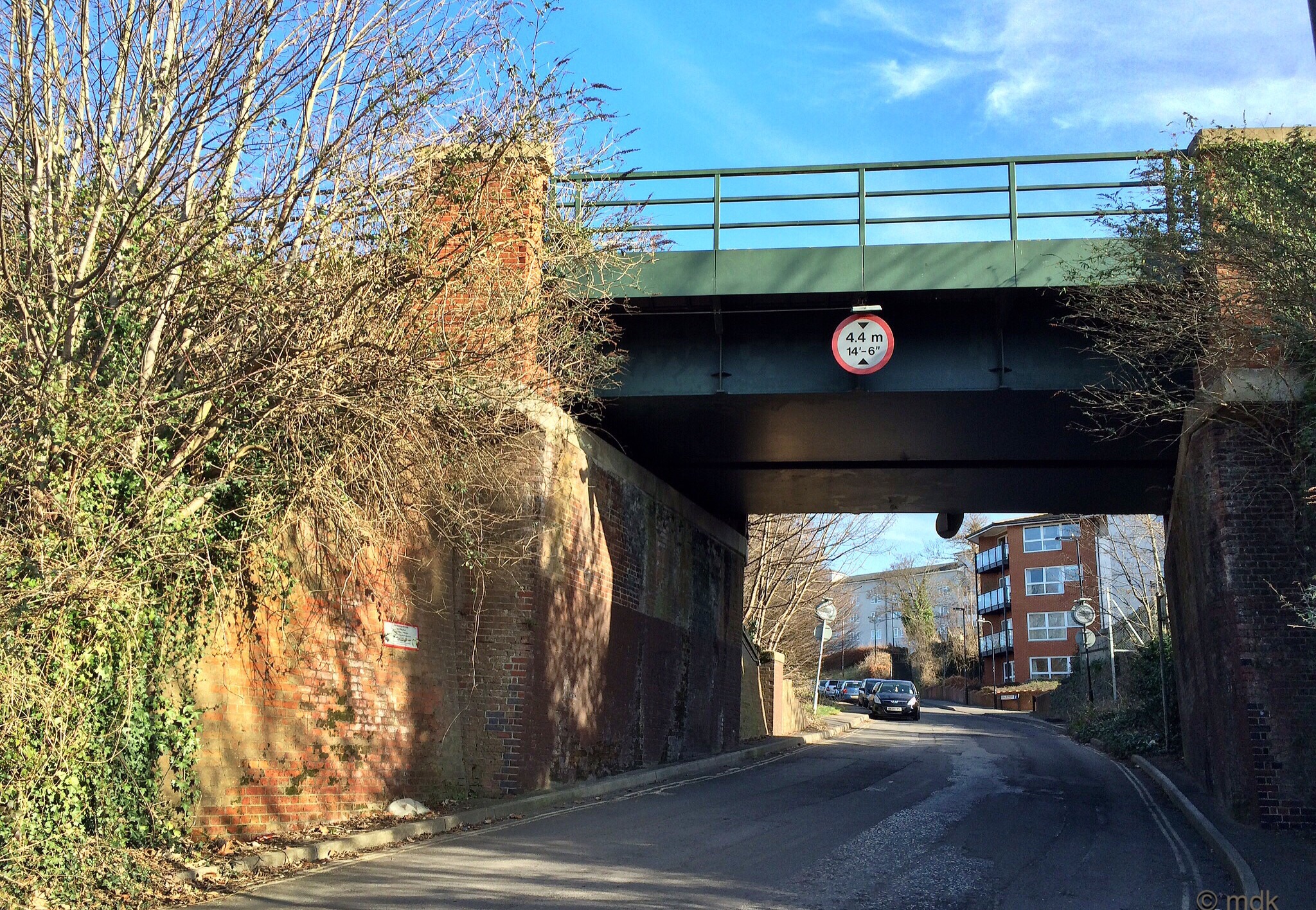
How many times have I passed under this arch without knowing the history I was passing? For a moment I stood contemplating what it must have been like to live in such terrible times where death could fall out of the skies at any moment. How would I have coped? Would I have survived? This was the point I was planning to turn back. The old map had shown me the exact spot where the ancient pear tree used to be and I wanted to see if there was any trace of it. That story though will have to wait for another day.
If you like what I write and would like to help me keep doing it, you can now buy me a virtual coffee by clicking on the little orange coffee cup at the bottom right. If you’re interested in my historic novels, Plagued is available now on Amazon.
You have so very much material. It amazes me. And you put it all together with photos, maps, and a history lesson. Our country is so young compared to Great Britain.
I really enjoy finding and sharing the history around me and I’m glad you like to read it 🙂
Well done for slipping and sliding your way through so much history, very interesting.
Glad you enjoyed it. Hopefully next time I walk that way there will be less mud
Hi Marie, I am in Australia now and really enjoy all the history on SHP. your article I have sent to a friend who was brought up in Peartree Avenue, she is going to love it. She lives down the road from me too, we discovered our Southampton connection whilst walking our dogs!!
What a small world! I am working on another post about the rest of that walk. I went down to the old floating bridge which you may both remember and I even found the pear tree the green is named for, well, sort of. 🙂
A walk through the country and history at the same time. How good is that? And a railway train too.
There are always trains along there but I never expect them and they always make me jump.
I think your yellow lichens might be fringed candle flame lichens (Candelaria fibrosa.) I was just looking at some on a crabapple tree the other day.
I think I would have moved away when the bombing was going on. It must have been a truly hellish way to live, not knowing if the next one had your name on it.
Some people did move out of the city but, for many, there was no choice but to stay because they had jobs and homes. Mother lived in the city throughout the war and my sister was born in 1943. Even the countryside wasn’t really safe there is very little of the South of England that wasn’t bombed at some point. Mother said the worst were the doodlebugs or VI rockets. They were unmanned bombs. As long as you could hear the whine of the engine you were safe but, if you heard it stop, you were probably going to die. She was also shot at in the street by german planes flying over more than once. I can’t even imagine what it must have been like.
What a wonderful history lesson! To see the calm and beauty today, and imagine the horror back then is such a juxtaposition!
It is strange to think of what it must have been like, especially as I walk there quite often.
Strange . . . I left you a long note on this post. . . .
How odd!
Peartree Green, one of Southampton’s almost forgotten historical gems. Great article. So pleased that the green has so far avoided development. Peartree Church by the way was the first Church of England church ever built.
As I live close to Peartree Green it’s one of the places I often walk through. It’s always a pleasure and there’s always something new to see.
The area has changed totally since the wartime bombing. If you look carefully at the map you showed you can see there is an embankment both sides of the railway line; the Peartree side was then as low as the road on the river side. After the war this area was used as landfill so the Supermarine air-raid shelters are 15 or 20 feet underground now. The tunnel under the railway line that received a direct hit was further along the line, and narrower than the road bridge. You can see where it was on your map near the R of Railway; that is where the shelters were.
Thank you for that Information. My husband used to play there as a child and his father had lots of tool tags from the Supermarine factory found there.