In late November 2012 I was very focussed on the Moonwalk training. Determined to finish in a better time this time round I was sticking to the training plan I’d downloaded. Unfortunately, there had been a lot of rain. Rain means floods when it comes to the river. The river is my go to walk for training. This meant I had to have a plan B in case things went wrong…
25 November 2012
As soon as I’d had breakfast and a wash this morning I went out on my Moonwalk training walk. Today was supposed to be seven miles and, looking out of the window, I was relieved to see a bright sunny morning. Plan A was to walk to the airport and back which I know is more or less seven miles, possibly slightly more but I wasn’t sure if the river would be flooded down by the Swan or not after all the rain we’ve had hence a plan B. There was a chill in the air so I was wrapped up warm in my parka and hat with my water bottle round my waist. One thing I didn’t have was my iPod. I’d been using it on the iPod dock in the kitchen when I was cooking and forgotten to put it back in my pocket. I like to have music while I walk, it helps me keep a good pace but, by the time I realised, I’d already crossed the main road so I had to go on without it.
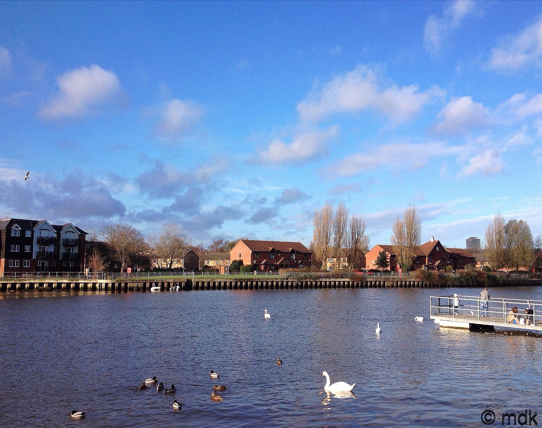
As I approached The Triangle the church bells were ringing. At the top of the slope leading to the park I could see there were quite a few big puddles along the river but the path looked passable so I carried on. Riverside Park was fairly crowded with children feeding the ducks, runners, fishermen and dog walkers, the good weather seemed to have bought everyone out. I do wish dog walkers would be a bit more attentive to their dogs though. Just as I was getting into my stride a tiny dog, off the lead, decided my feet were very attractive and it would be fun to run at them barking. Obviously such a small dog wasn’t exactly frightening, although I’m not too keen on teeth marks in my ankles, but it was in danger of tripping me up. The owner just watched it. Grrr.
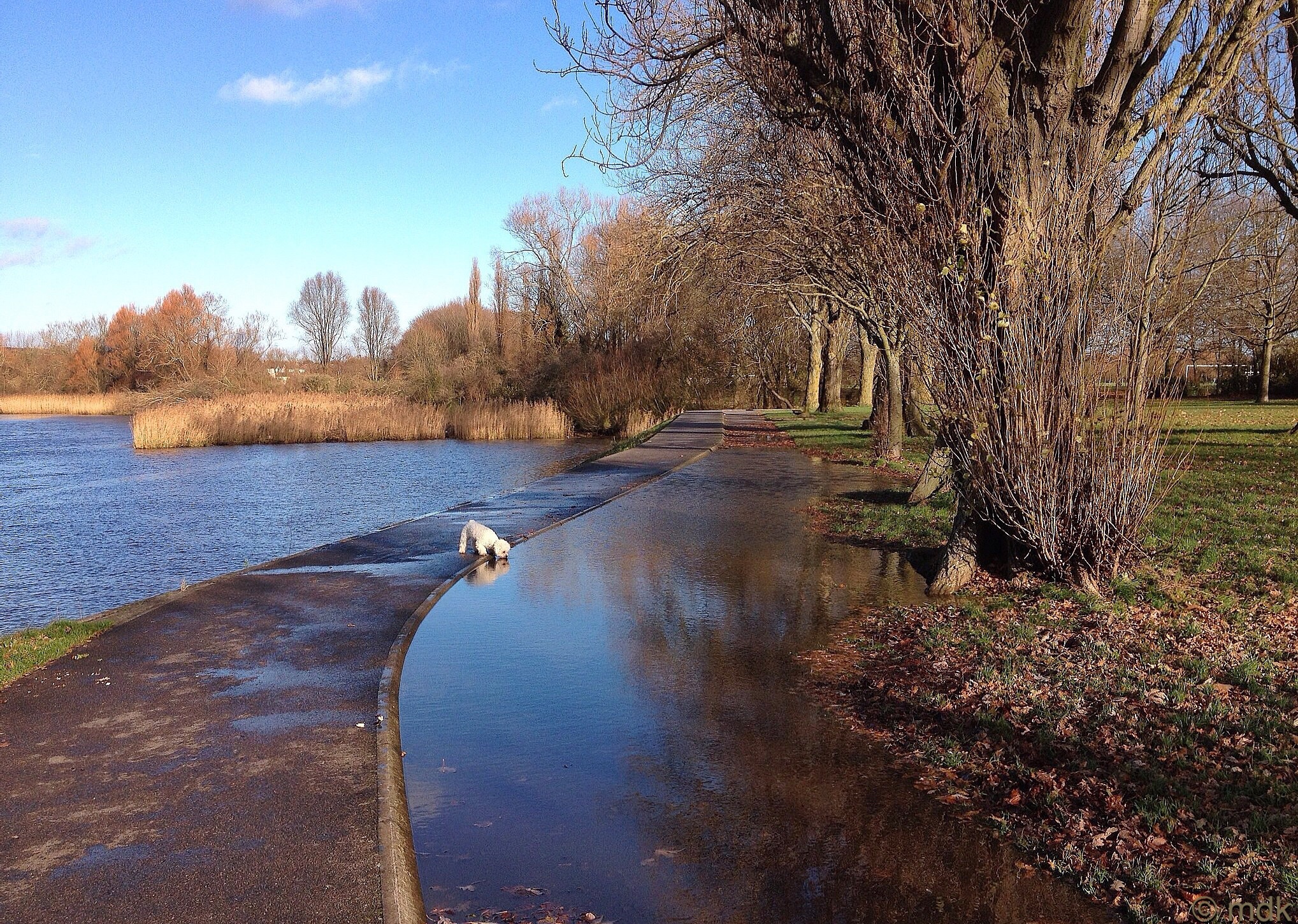
When I walked past the model railway, there was a man riding round on the little train. I’ve often wondered if they still had the train rides. We took our boys on it one or twice when they were little. At the bend in the river a couple were speeding along on a little RIB, it looked like fun. There were also some dogs swimming and I sped up to get past before they got out and started shaking the water off. At the next bend the cycle path and a large section of grass were flooded, a little white dog was taking advantage of the puddle by stopping for a quick drink. He reminded me to take a sip from my water bottle as I was getting quite hot by then.
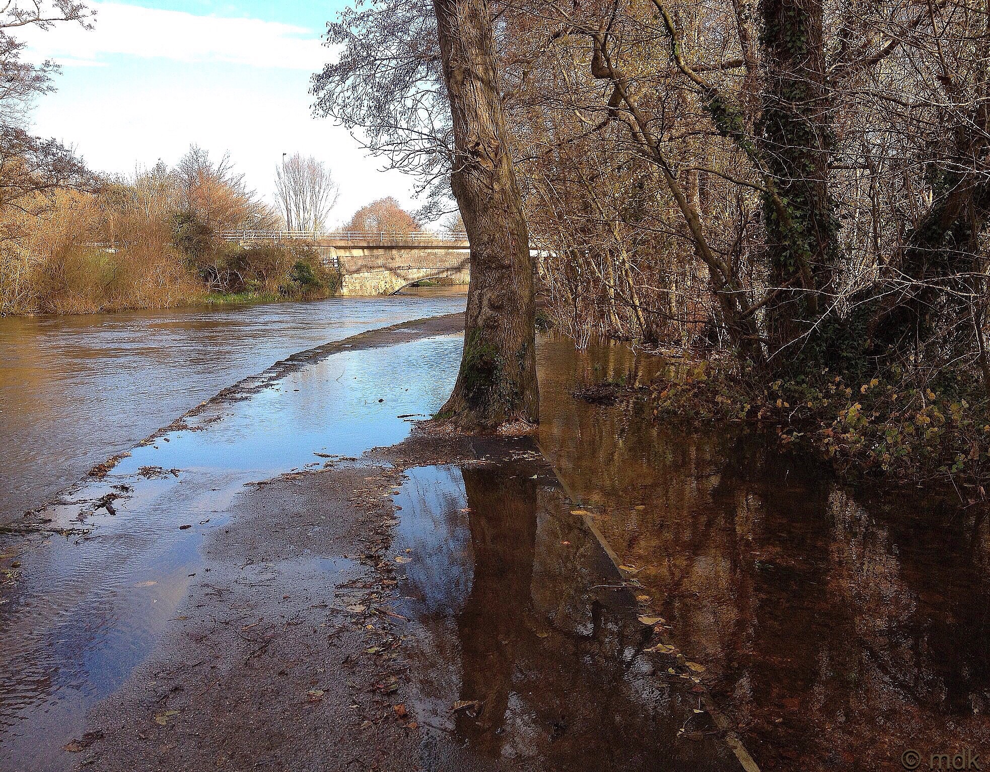
When I got to Woodmill I thought about turning off and walking towards Portswood because I’d seen so much flooding already and the second part of the river is always worse. In the end I thought I’d carry on for a bit and see if I could get over the little bridge by the Swan and make it to the Airport. The river was really high, just a few inches below the level of the path which didn’t bode well and I could see it was spilling over into the woods on the far side. Once the bridge came into view I could see flooding on the path and the water was flowing much faster than usual but I thought I’d carry on for a bit and see if there was any way past. There wasn’t, the whole path and most of the boggy land to the side of it were completely flooded. It wasn’t deep and I could probably have walked through it but I didn’t really fancy walking four and a half miles with wet feet, that’s a recipe for blisters.
So I turned back and took the unfamiliar route through the narrow twisting gap between Woodmill and the river. It’s a bit of a bottleneck for traffic because the two lane road squeezes down into one very narrow lane going round an S shaped bend. The current was very strong and I saw a man on the bank gripping the painter rope of his boat and struggling to keep it from being dragged away from him. He was in grave danger of being pulled down the muddy bank into the water but luckily his friends ran to help him.
Now I was on the other side of the river in fairly unfamiliar territory. Many years ago I lived in Portswood in a grotty little flat near the police station but I’ve never actually walked this route before. Even when I made it as far as the High Street, so much had changed, with a new road layout and a huge new Sainsbury’s, nothing was quite as I
remembered it. By now I felt a bit like a satnav, constantly recalculating my route. Just as I decided I’d veer off to my right and pick up the path that runs beside the river to the Big Bridge, it began to rain. The Big Bridge is no fun in the rain so it was time to think again.
By this time I was coming to the bridge by the Triangle with a great view of all the little house boats moored there. By now I knew I was just a mile from home but I’d only walked four and a half miles. Despite the rain I decided to walk up towards The Castle, the highest point on the east side of the Itchen. You can see the airport from there so, as the airport was my original destination, I thought it would be quite fitting. Of course this meant some killer hills. First there was the long slog up past Deep Dene woods and St Mary’s College to the top of Mousehole Lane. That slowed me down a bit and made me sweat but at least the rain had stopped. Then there was the sweeping bend and steep downward slope as Moushole Lane winds its way down again. Finally it was the hill to The Castle pub. As a teenager I used to drink there and even back then, with much younger legs, that hill was a struggle.
It was a real effort to keep a steady pace as I climbed. My legs were screaming at me to stop and I admit to a few moments wondering if I’d lost my mind to choose this hilly route but I kept going, taking small steps and just concentrating on putting one foot in front of the other. It was a relief to finally reach the summit but quite a surprise to see that The Castle, always a landmark in my mind, was now closed down and fenced off. What a shame, I had some fun times in that pub. They’ll probably build yet another block of flats there I suppose. Everywhere you look they’re building flats. In my mind there should always be a castle to mark the highest point on this side of the river, even if it’s a castle in name only. It always seems a pity that its not a real castle with crenalations, battlements and a great big moat a bit like the Bargate only bigger and more impressive.
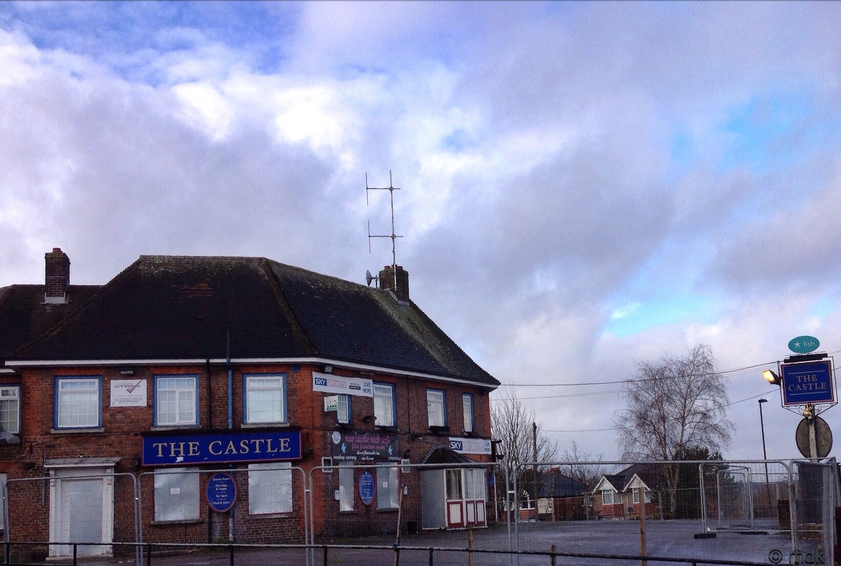
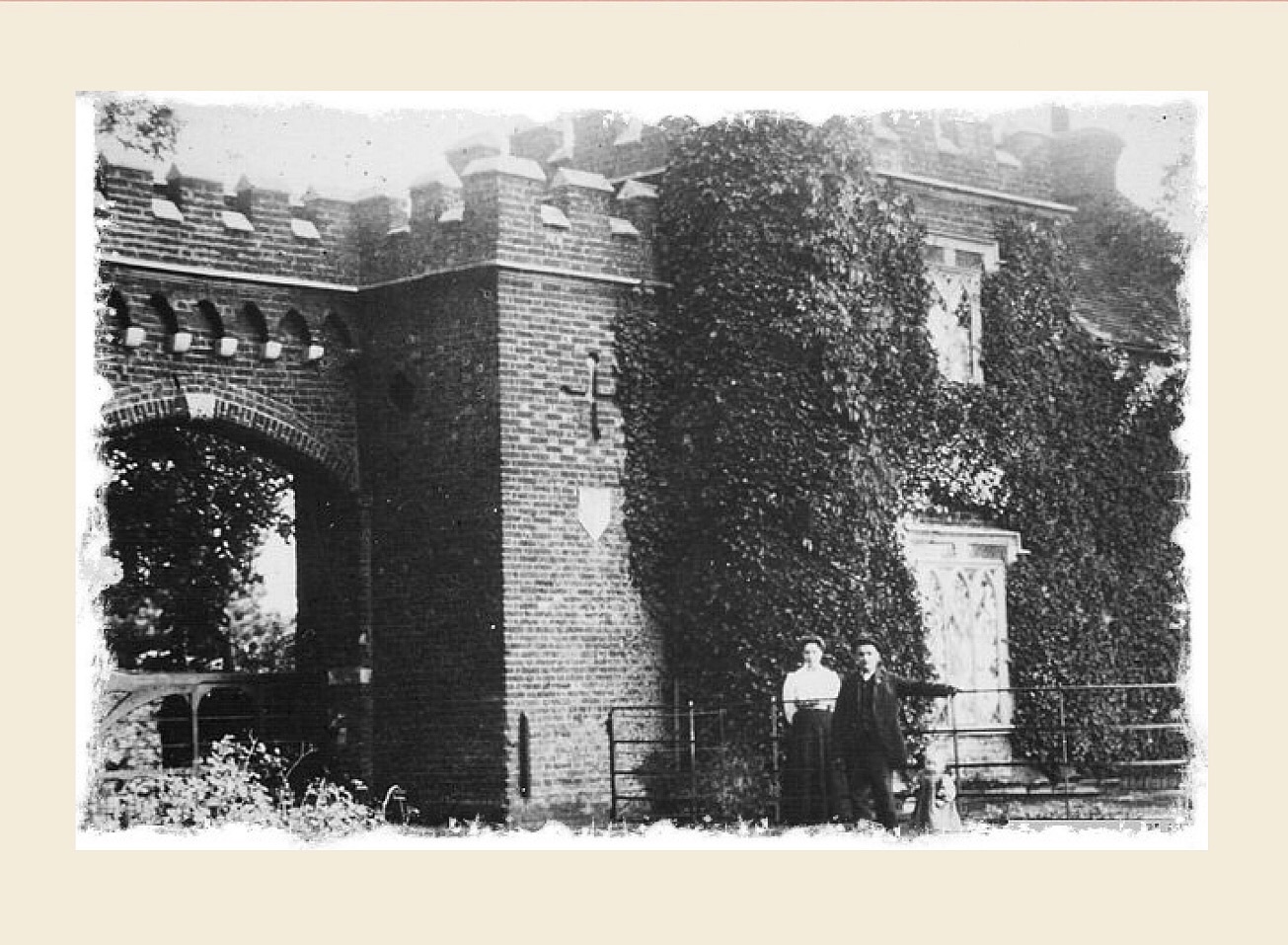
Walking gives me lots of time to ponder random things and today it was whether there was ever actually a castle at the top of the hill in Midanbury. Being the highest point it would be an obvious place to build one and the Castle pub must have been called that for a reason, right? The advent of Google means I don’t have to wonder about stuff like that for too long which is good news for me and my grasshopper mind. Apparently there was a big house right where the Castle pub now stands called Midanbury Castle. It wasn’t an actual castle but, because of the crenelated walls and impressive gate, that was what it was called. It was demolished in 1939 and the pub was built. I was glad to learn the pub isn’t actually going to be knocked down either, it’s going to be turned into a Tecso Express. I’m not sure if that’s a good thing or not.
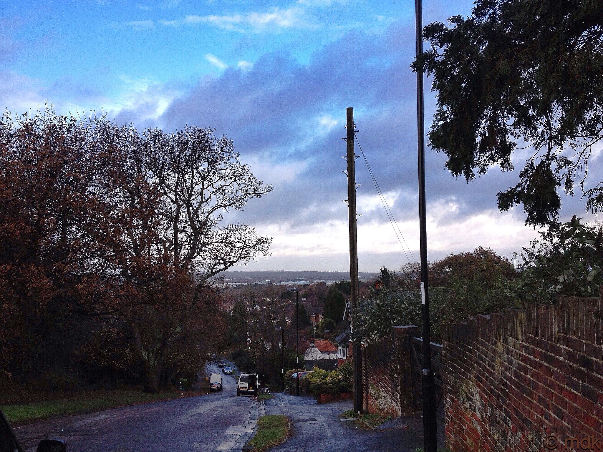
I stopped for a minute by the pub to get my breath back and take in the view towards the airport. Looking down past the school you can actually glimpse the runway. When planes take off and land they come in so low you can see the passengers faces so it’s probably not the quietest place to live but pretty good for a plane spotter I should think. So I circled round The Castle and started the long downward stretch towards home. Just after I hit mile six I passed Deep Dene woods for the second time. The path was steep and littered with slimy fallen leaves so it was slippery going and I had to slow down to avoid sliding on my backside. Shortly after that I stopped altogether to fish some fruit flakes out of my bag because I was beginning to flag a bit and needed some quick energy. Must have been all those hills.
Approaching the Main Road I could see I was still going to be a little short on my mileage if I carried on towards home so I took yet another detour and made for the cut way past my old Junior School. It’s a bit of a lonely path and one that always makes me slightly nervous. As I walked towards it the only person around was a man trying to kick a pile of leaves away from the drain on the corner to unblock it. He was so intent on what he was doing he didn’t notice me but, as I got closer, I realised it was the cheery man with the island of hair on top of his head that always talks to me at the bus stop. I have no idea what his name is but he always says hello, even if I’m just walking past, and makes some comment about the weather or the bus time keeping. Last week I saw him in Sainsbury’s and he asked me where he knew me from. When I told him it was the bus stop he thanked me and said “I’m glad we sorted that out, I’d have woken up in the middle of the night worrying about that.” He’s a little strange but I think he’s harmless so I carried on through the cut way.
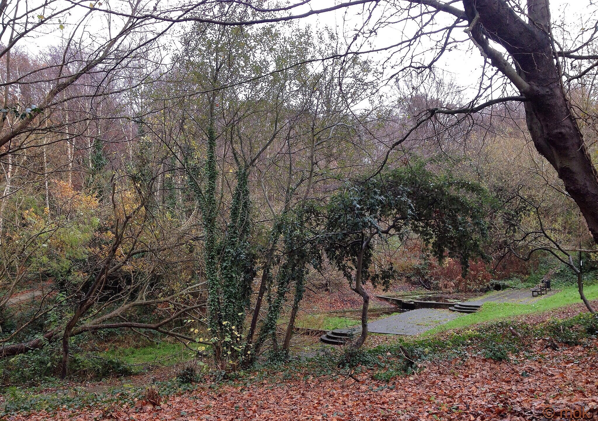
After that I walked up through Hum Hole, through another load of slippery leaves, past the little pond to the crossing half way up the Big Hill. Just as I started to cross the road and at the exact same time the rain began to fall again, I hit seven miles. So it was a wet and pretty speedy dash down the hill to my door. Seven point two two miles in total with a fairly disappointing average pace of sixteen point one one minutes per miles. That’ll be all the hills.