5 January 2014
A while ago I said I don’t make resolutions and I don’t, but I do set myself the odd challenge from time to time and it just so happens the current one starts at the beginning of the year and ends at the end of it. This is not, by any means, a New Year’s resolution though, ok? Because my life is very much upside down at the moment I don’t feel able to commit to anything like a Moonwalk this year, although I will be doing the normal Care For A Walk fifteen miles in the spring and maybe the odd other thing if life settles down. This leaves me with rather a gap in the motivation to get out there and walk the miles stakes, which is not good. So I decided I would set myself a challenge to walk at least one hundred miles a month for the year.
One hundred miles sounds like a lot when you look at it in a big chunk but, actually, it works out to just over three miles a day which is easy peasy. Maybe I’ve set my sights too low but weather, hopefully work, and other things may get in the way. If not I may revise my challenge at a later date.
Commando went for a Park Run yesterday. He said there were trees down everywhere and the paths on the Common were fairly waterlogged. With soggy ground around the tree roots and high winds I guess it was enevitable but it seems sad that mature trees that have stood the test of many, many years should have fallen. The Echo website was full of photos of well known landmarks barely recognisable under feet of water. Saddest of all were those taken down by the river at Riverside Park. The Itchen had burst it’s banks to such an extent that it was impossible to tell where the path along the river ended and the river itself began, the swans didn’t seem to realise they were swimming on the path. Down at The Shore it was a similar story. The road was completely under water, cutting off Netley. By all accounts the other side of the river was worse and there were trees down in the town parks.
Obviously all this meant I both wanted and needed to get out walking today, even though it was still raining. Walking in the rain is one of my least favourite things, apart from anything there is a wet glasses, not being able to see issue, but I wasn’t going to be put off. The plan was to walk down to the river and see what was happening down there.
First I consulted the tide tables because the river, as far as Woodmill, is tidal and I wanted to see it at its highest. Turned out the highest tides of the month were a few days ago when everyone, except me, was out taking pictures of all the flooding. Still, it did mean I might actually be able to walk along there without getting wet feet or falling in. It also turned out that the high tide was just before two in the afternoon.
After a quick bite of lunch, I wrapped up in my wind proof, waterproof coat, scarf, flappy eared hat and gloves, put my boots on and went out into the rain. My first problem came while I was still half a mile from the river. The road was cordoned off by a big red fire engine. At first I thought it might be flooded and I wouldn’t be able to get through, but it turned out to be an accident. Thankfully it wasn’t a bad one but it did look as if someone was stuck in one of the cars so, trying not to look, I walked past.
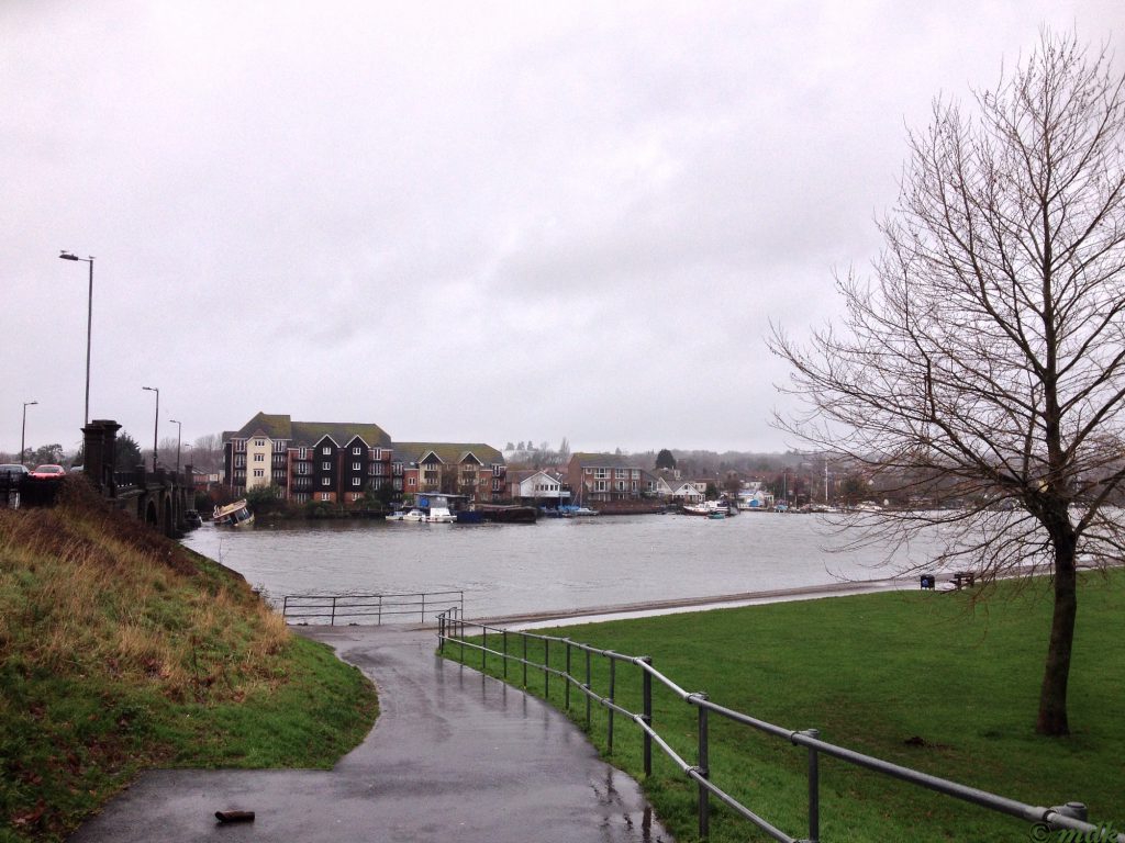
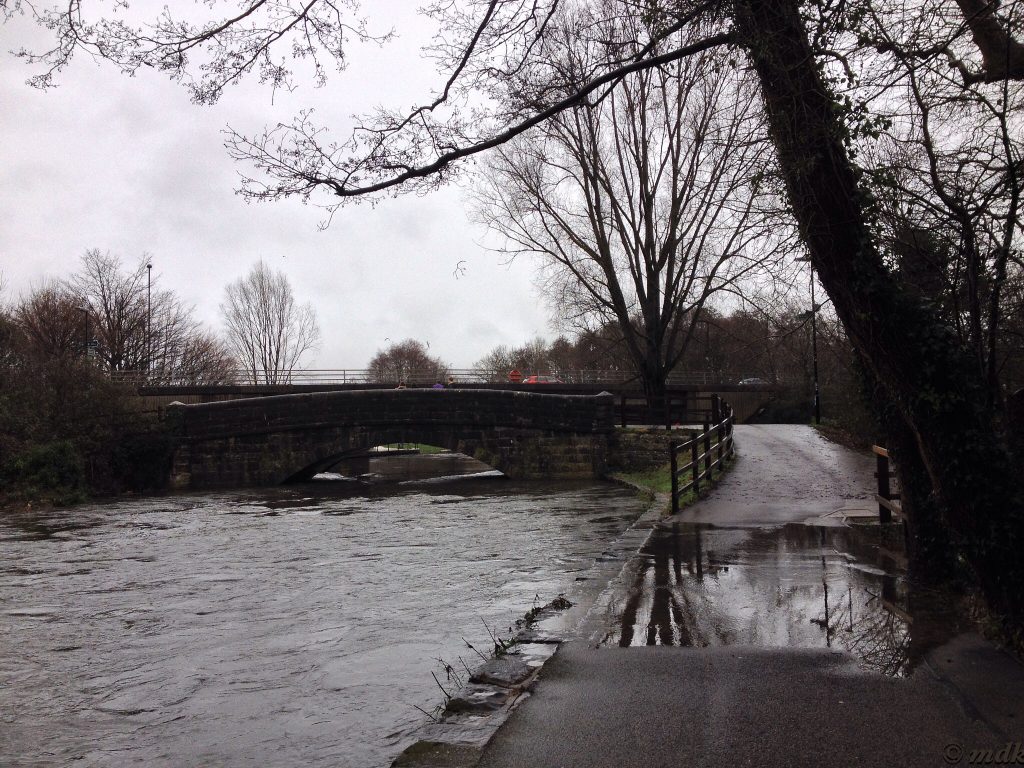
As soon as I got to the slope leading down onto Riverside Park I could tell the water was much lower than it had been. There was a puddle across the path, but the water wasn’t half way up the slope as it had been in all the photos I’d seen. I didn’t know whether to be pleased or disappointed. Obviously, I’d missed my photo opportunity but I would be able to walk along the river.
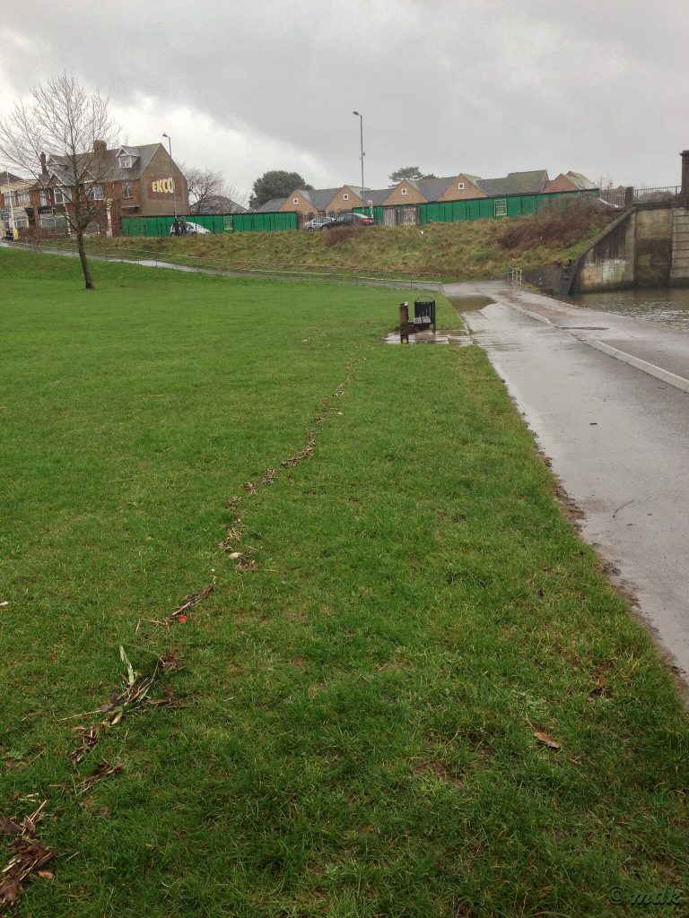
When I got to the bottom of the slope I could see the puddle didn’t even stretch right across the path so my feet would stay dry for a while at least. There was a line of debris on the grass showing where the high tide line had been. This bore out the photos I saw on the Echo website where swans were swimming on what is now a path once again.
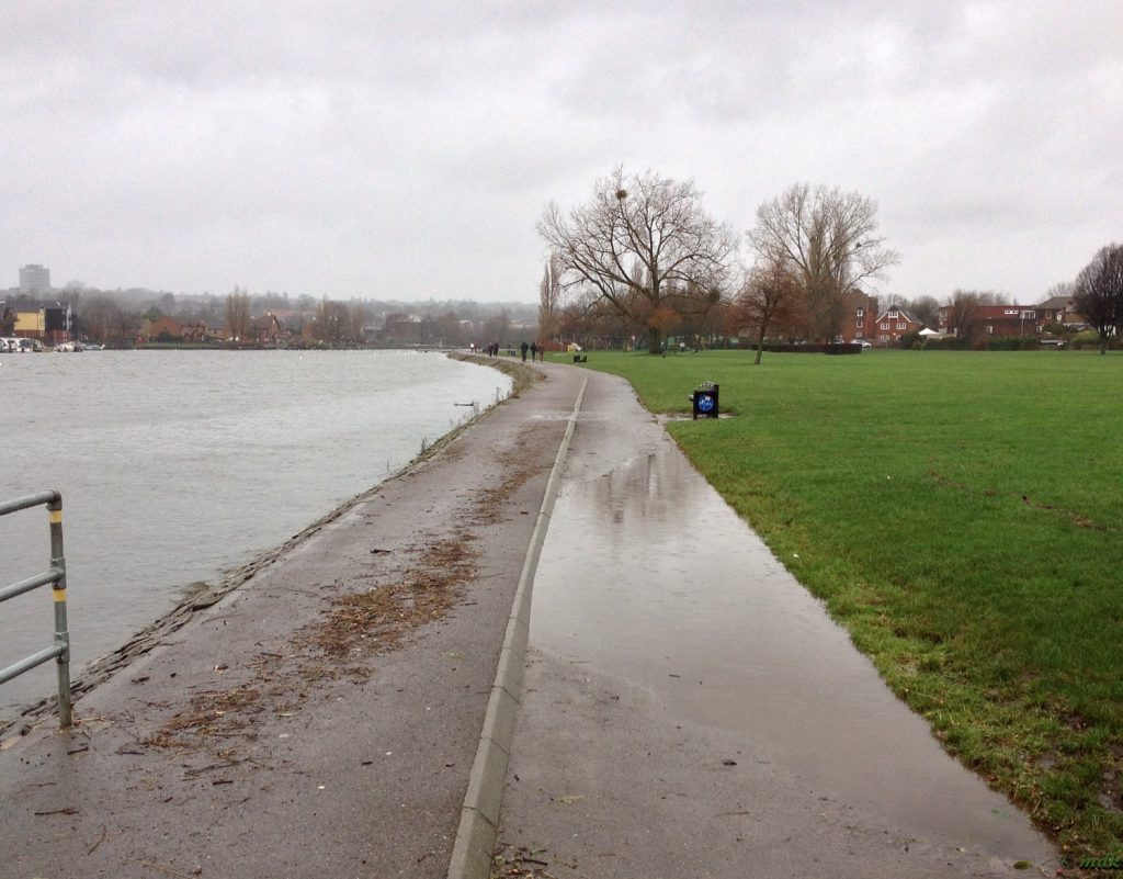
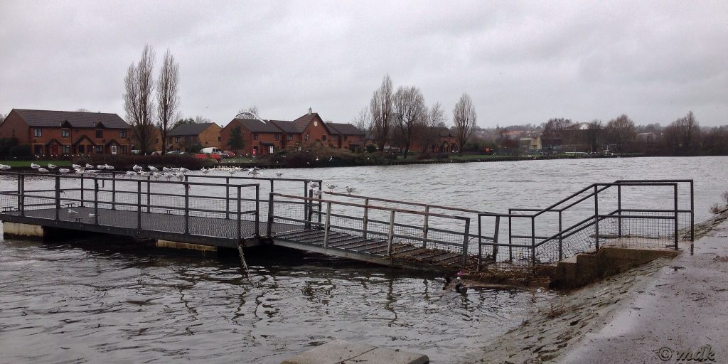
Although the path and park weren’t flooded the river was very high. The little floating jetty close to the first river bend is higher in the water than I’ve ever seen it. When I walked out onto it a while ago the walkway sloped down at quite an angle. It was so steep and slippery I almost went up on my bum and ended up flailing my arms like an idiot to keep my balance. Today the slope is uphill! There is also a mass of debris caught up in it where it was recently under water.
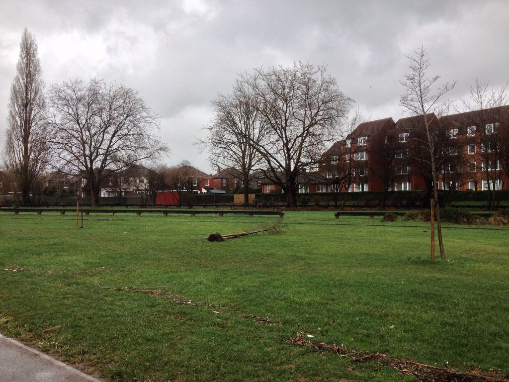
Close by, near to the little park railway, a sapling has been blown over, probably by a combination of sodden ground and high winds. The debris line is even more pronounced along here and is a good four feet from the top edge of the path. The rain was falling quite hard by this time so I hurried on towards Woodmill, wondering if I’d be able to get through to the little bridge at Mansbridge or if the path would be too flooded.
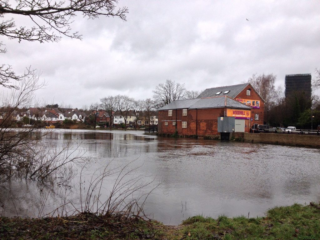
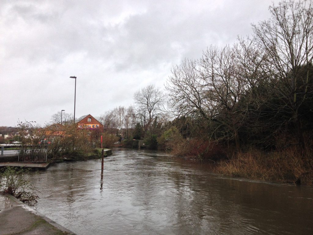
When I reached Woodmill I was surprised to see the sluice gates closed. I don’t think I’ve ever seen the mill without water rushing through the millrace but I suppose the river being so high and flowing so much faster than usual may be the reason. It could also explain why the water was so much higher on the other side of the mill. It was actually lapping at the top of the path, a millimetre or two more and the banks would burst.
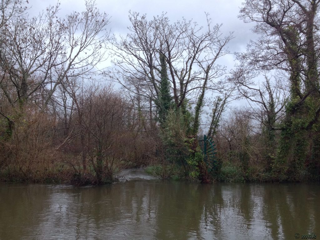
Further along there is a small weir leading to a side stream. Usually white water is tumbling down into the stream, today there was no white water, the side stream is so high it’s at the same level as the river. Further on the banks have burst, creating another, impromptu, weir and flooding the woods on the other side of the river.
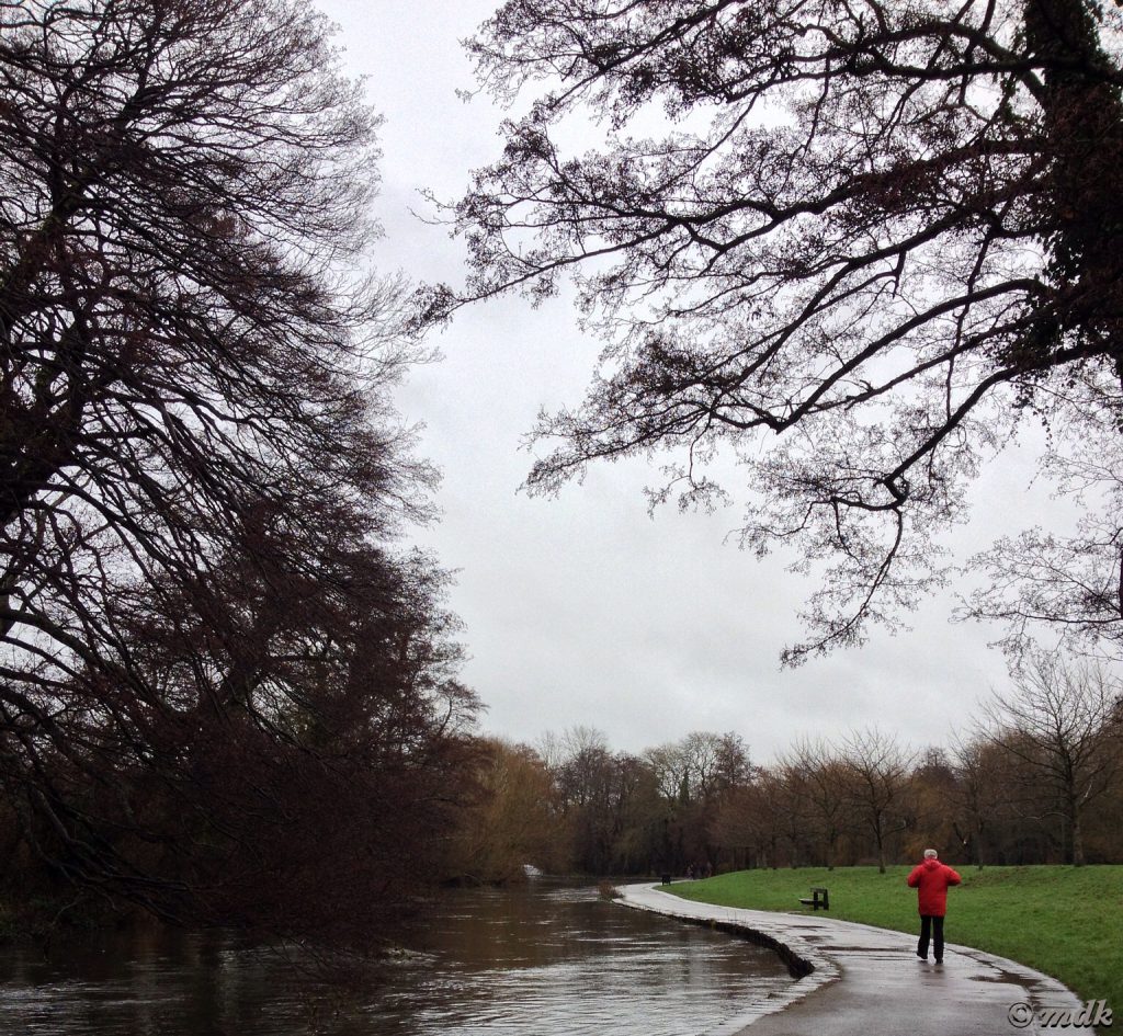
Soon I was approaching the final bend before the little Mansbridge bridge, the area where any flooding is always at its worst. The water was close to the top of the bank here but it wasn’t until I rounded the bend that I could see how close. The river was flowing much faster than usual and the far bank was badly breached. The woods were more pond than wood. As expected, the path was flooded just before the bridge but nowhere near as badly as the photos I’d seen.
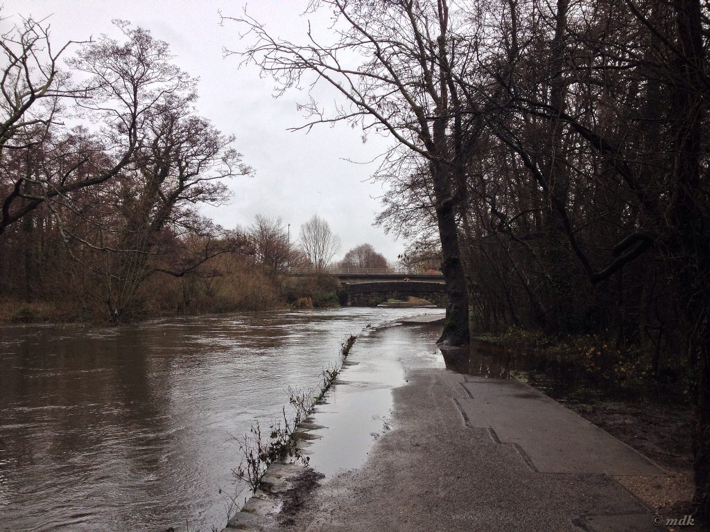
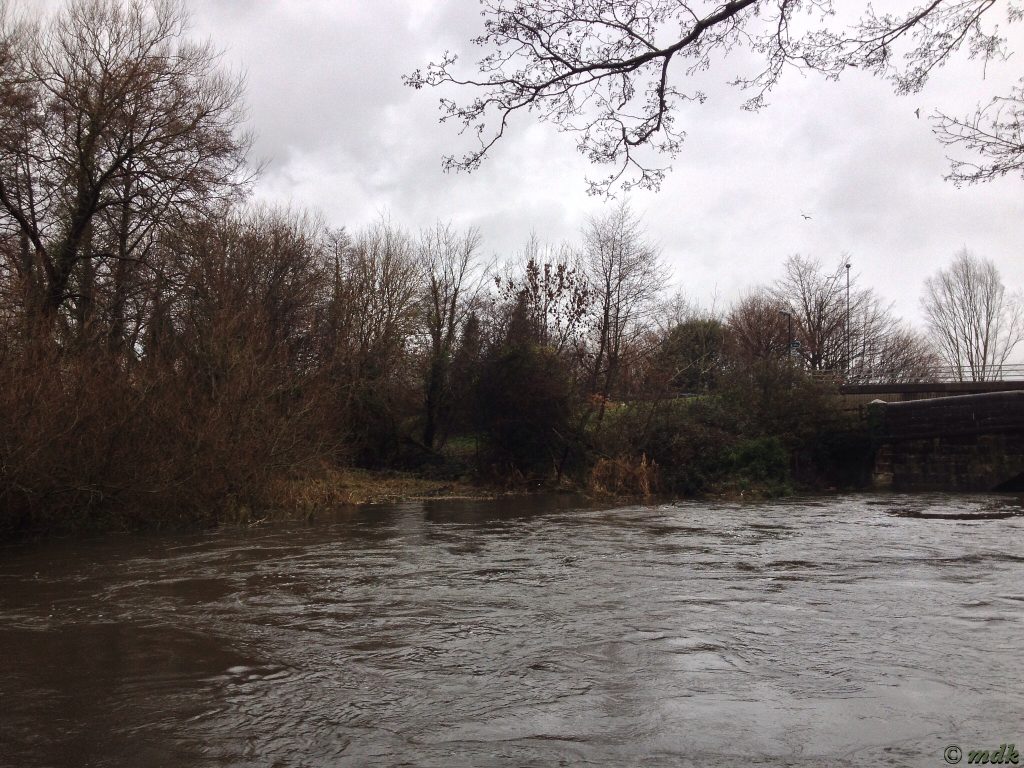
Last time I came this way I didn’t risk walking through the water, this time I was determined to get to the other side and see what it was like further along. After all, I walked through enough Itchen water on the Navigation the other day and my boots proved to be more than adequate. As long as I stayed away from the edge I’d be fine, wouldn’t I?
With the sure knowledge that my boots wouldn’t leak I crossed the flood with relative ease. Ok, so I did have to do it on tip toe and I did walk through the deepest part, as far from the river as possible. As before, my feet were cold but dry when I got to the other side. Then I saw it wasn’t the only water I’d have to cross, just around the bend there was another small flood, not as wide but, if anything, deeper. When I got to the other side and looked back I could see why, the river was lapping up onto the bank with every ripple. The flooding wasn’t confined to the path either. The water lapping over the edge of the path had run down into the fields behind the trees flooding quite a wide area. I should think it’ll be a while before that dries out.
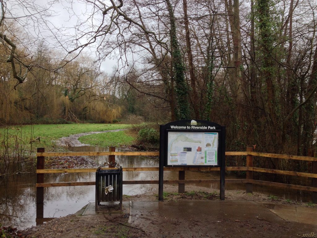
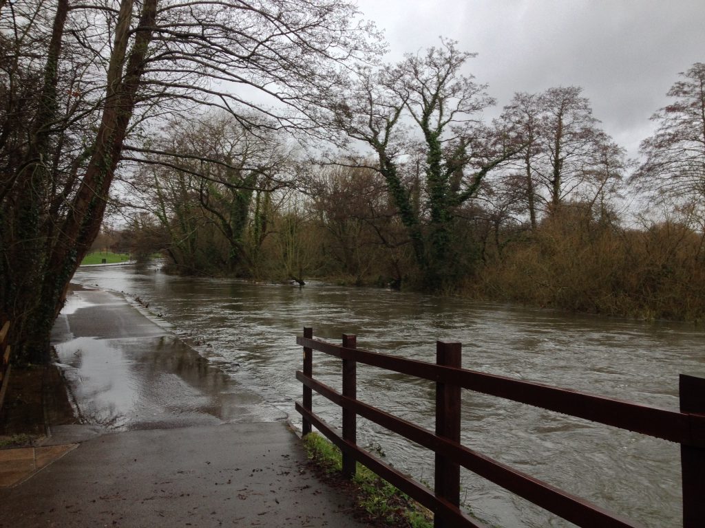
Some teenagers were standing on the bridge peering over the side at the fast flowing river. Perhaps, like me, they’d come out to see the flooding. I thought back to the summer when I watched the canoeists rowing under the bridge. They’d have had a job right then, I’m pretty sure it would have necessitated some head ducking. Beyond the bridge the fields on the opposite bank were completely flooded. This did not bode well for the White Swan pub just around the corner.
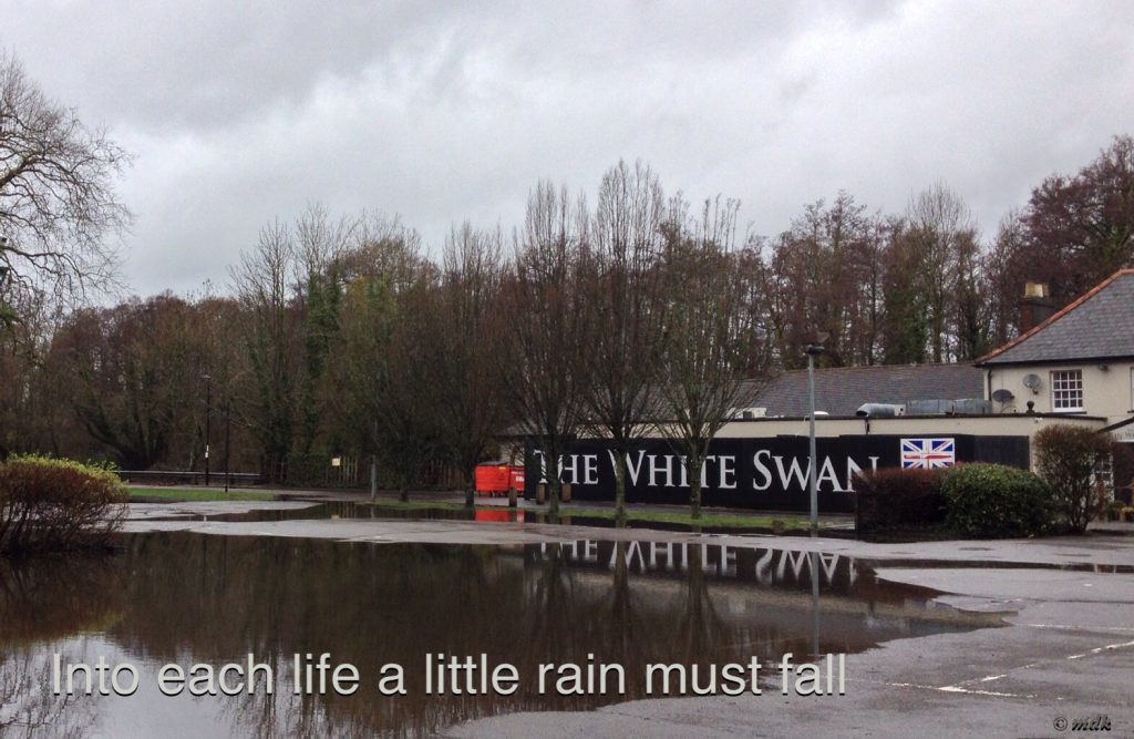
The White Swan pub is very close to my heart. It’s the pub I used to go to daily in my late teens and I have some very fond memories of it, especially as it’s where I met Commando. Part of the reason I wanted to cross the flooded path so badly was to see how the Swan had fared in the recent floods. Being right on the river’s edge it has quite a history of flooding.
The lane was muddy and very leaf strewn, whether this was due to the recent flooding or just weather is hard to tell. When the back of the White Swan came into view I was relieved to see the level of the water below the paving of the pub garden, even if only just. The car park, however, was awash. The first sign of trouble was a split sandbag by the back door and, when I came to the front door it was closed.
This lovely pub opened in the early 1800’s and, as much of the land around was owned by the Middleton Family, it was called the Middleton Arms. In around 1830 the name was changed to the Swan Inn and then, in 1870, to the White Swan Hotel. These days its speciality is the amazing Sunday lunch time carvery so I’m guessing it was closed because they were flooded.
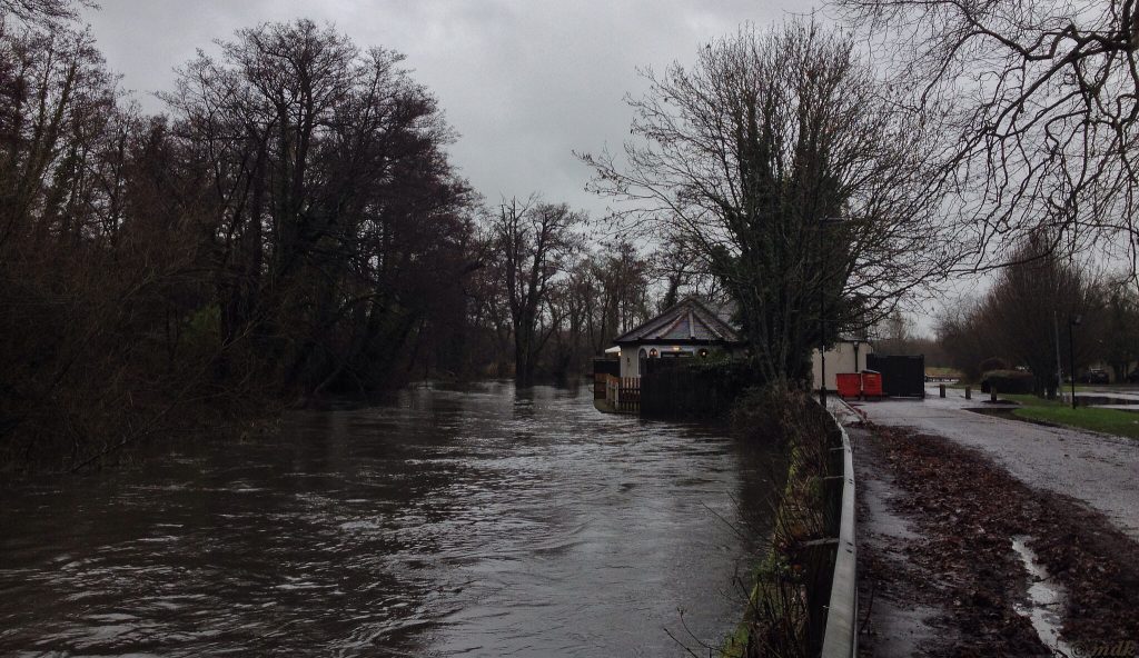
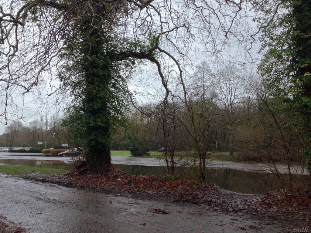
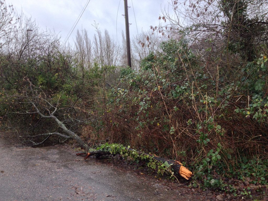
As I wasn’t especially keen to walk through the flood again I decided to retrace the route of many late night drunken walks home from the Swan and carry on towards Gaters Hill. A rather determined fisherman sat on the bank under a green umbrella and, as I passed him, I noticed a snapped tree lay along the path, evidence of the high winds we’ve had. I looked out over flooded fields then, with a last glance back at the pub, I made for the road.
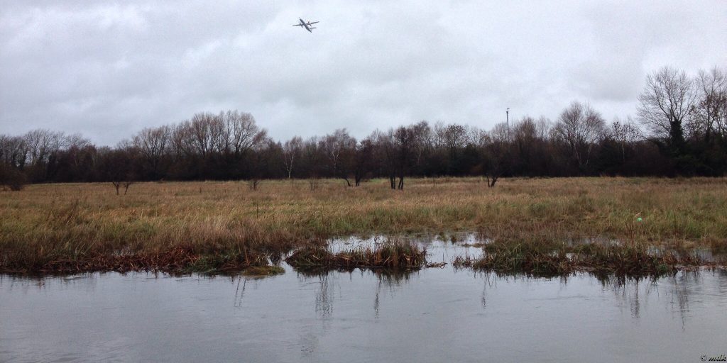
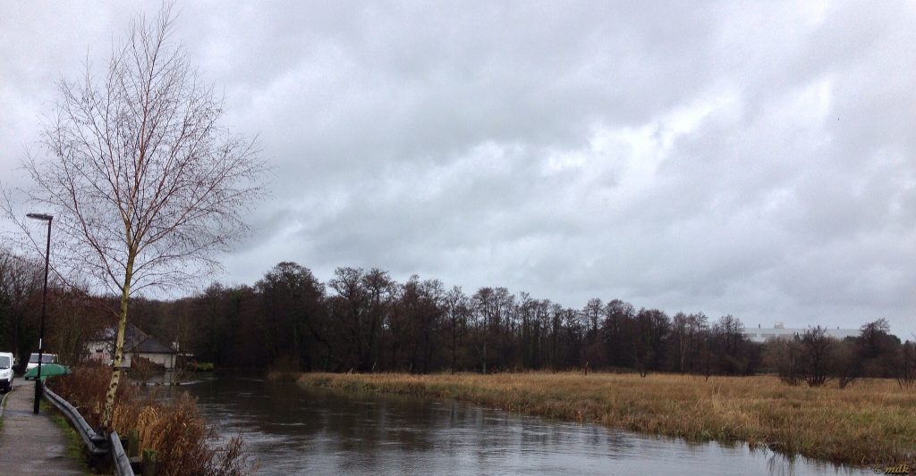
The road on the bend before the pub was flooded half way across so I had to walk quite a way before I could cross. Before long I was looking across at the place where the river bends away from the road where Gaters Mill nestles amongst the trees. There seemed to be rather more river than usual, water rushing between the trees, and I hoped the mill wasn’t flooded too, even if it’s no longer a mill.
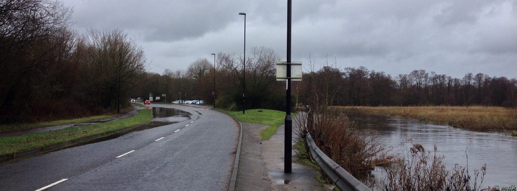
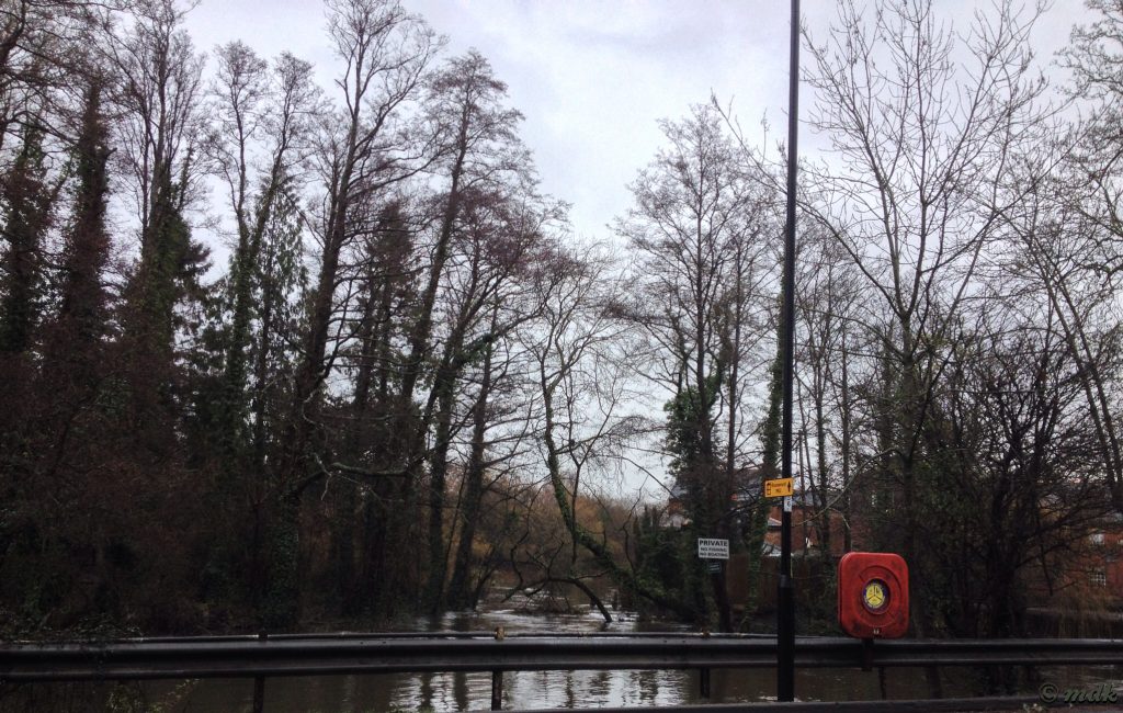
Gaters Mill closed as a mill after damage whilst being used as a munitions store during World War II. The first mill was built in the thirteenth or fourteenth century and there was a working mill on the site for six or seven hundred years. Originally these were fulling mills, used to clean and thicken woollen cloth but, in 1685 the mill became a paper mill, called Up Mill. Later, in 1865, the original mills were more or less demolished and new mills built to mill flour.
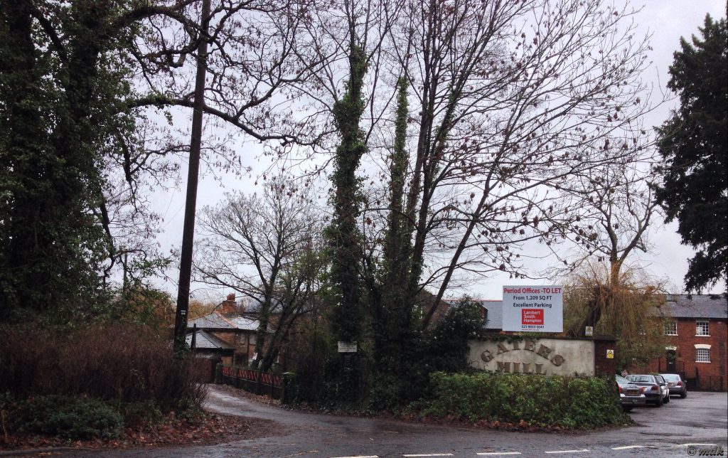
Nowadays the mill and surrounding buildings are used by several small businesses, mostly as offices. The little glimpse of mill buildings through the trees has always intrigued me but, sadly, I’ve never known them to be open to the public. As I passed, with rain dripping off my hat in front of my eyes, I wondered if I could get an interview with one of the businesses so I can have a look inside? I have no idea what any of them do so maybe not. It would be quite a nice walk to work though, as long as it wasn’t raining.
Just past the mill the road sweeps up in a steep, short hill, known as Gaters Hill. It was raining quite hard again as I started up the tree lined path and the ground was slightly slippery underfoot from all the wet leaves strewn about. Asking myself why I’d decided to come this way, I tramped up the hill, puffing a little as I got to the top. On a sunny day this is quite a nice walk if you don’t count the slog up the hill.
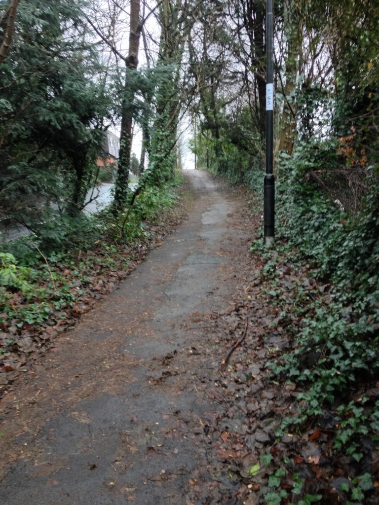
When I got to the top Haskins, the big garden centre and hobby shop, looked inviting. They have quite a nice cafe and a latte would have been very welcome right about then, along with a little time to dry off. Spending money unnecessarily is off my agenda at the moment though and it’s almost impossible to go in without spotting some plant or craft project I really must have. Besides, if I did buy anything I’d have to carry it home.
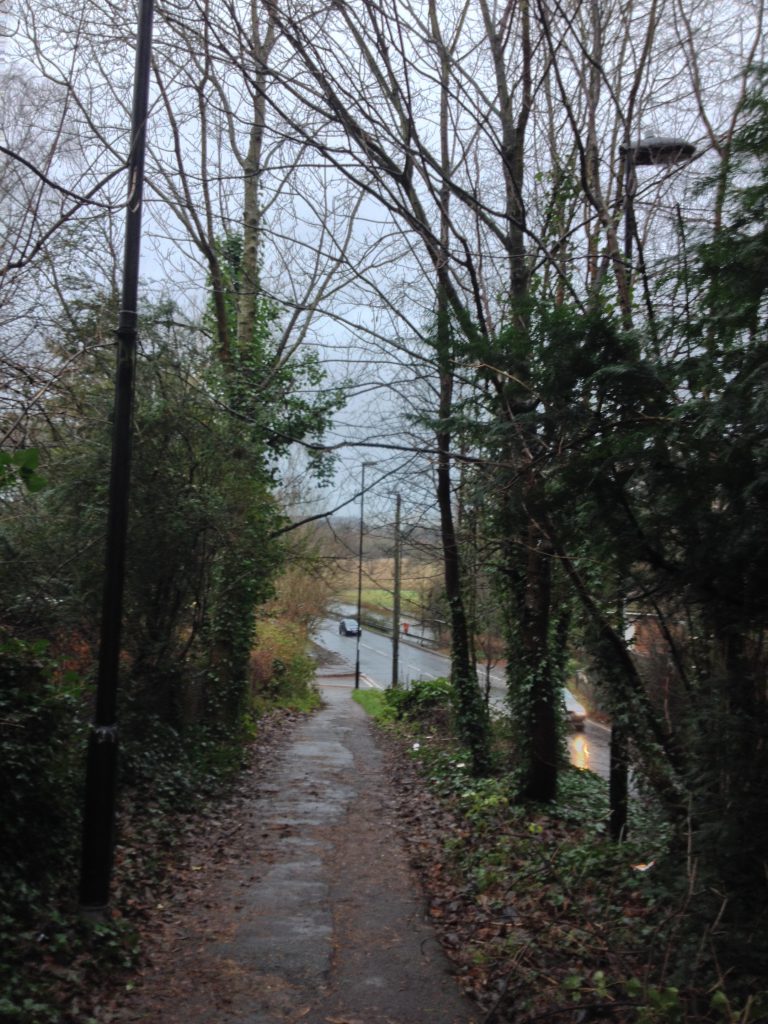
From this point on there are quite a few choices of route that will lead me back to the village and, as I walked, I thought about my options. Straight away I discounted Townhill Park as it’s basically a long winding road lined with modern houses and Chalk Hill, about a mile ahead although leafy and pretty just felt too steep so I decided to go for the closest, shortest option along Cutbush Lane. This is a long, winding lane, mostly tree lined and, although there are no pavements, it’s closed to traffic except for access to the handful of large expensive houses hidden behind the trees.
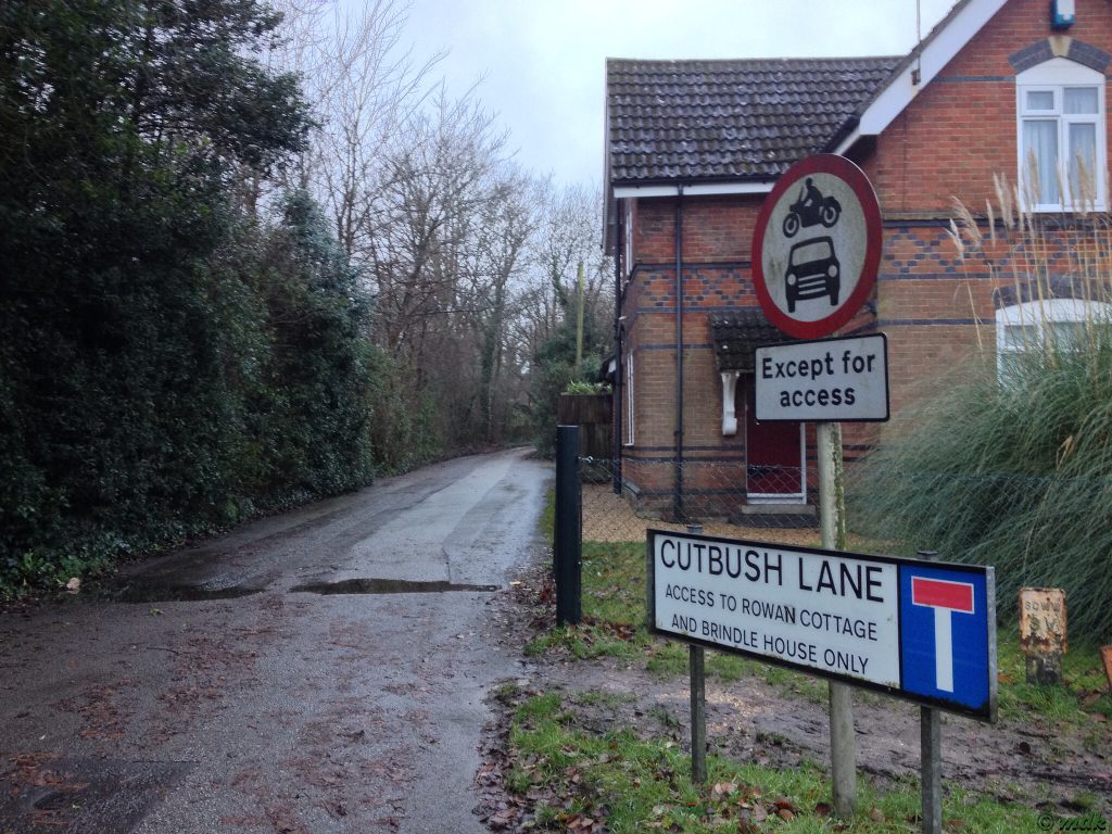
The first part of the lane is quite wide and open with little in the way of shelter from the heavy rain but I knew it narrowed further on and the thick tree cover would give me some shelter. There were a few muddy patches and some slippery leaves but I managed not to do myself any damage or get too muddy. Probably I should have been looking out for fungi and other interesting things but my glasses were so wet it was difficult to see anything much except the path.
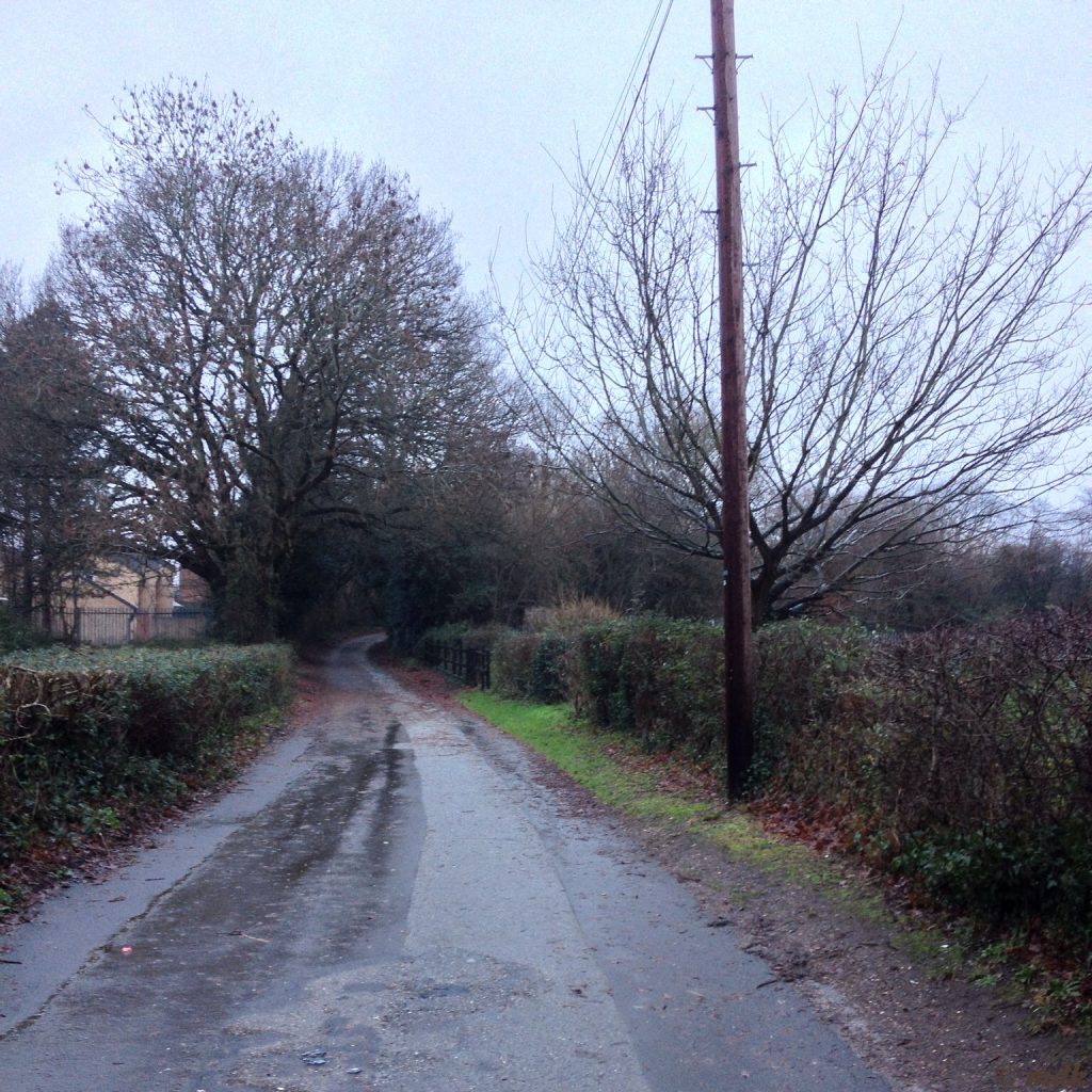

After about half a mile the lane appears to end in the middle of some rather ugly modern houses and flats. Actually, if you turn sharply to the left, it continues as a narrow footpath though a thin ribbon of woodland. Luckily I knew this and carried on along the lane, ignoring the glimpses of fences and garden walls through the tree cover and pretending I was deep in the woods.
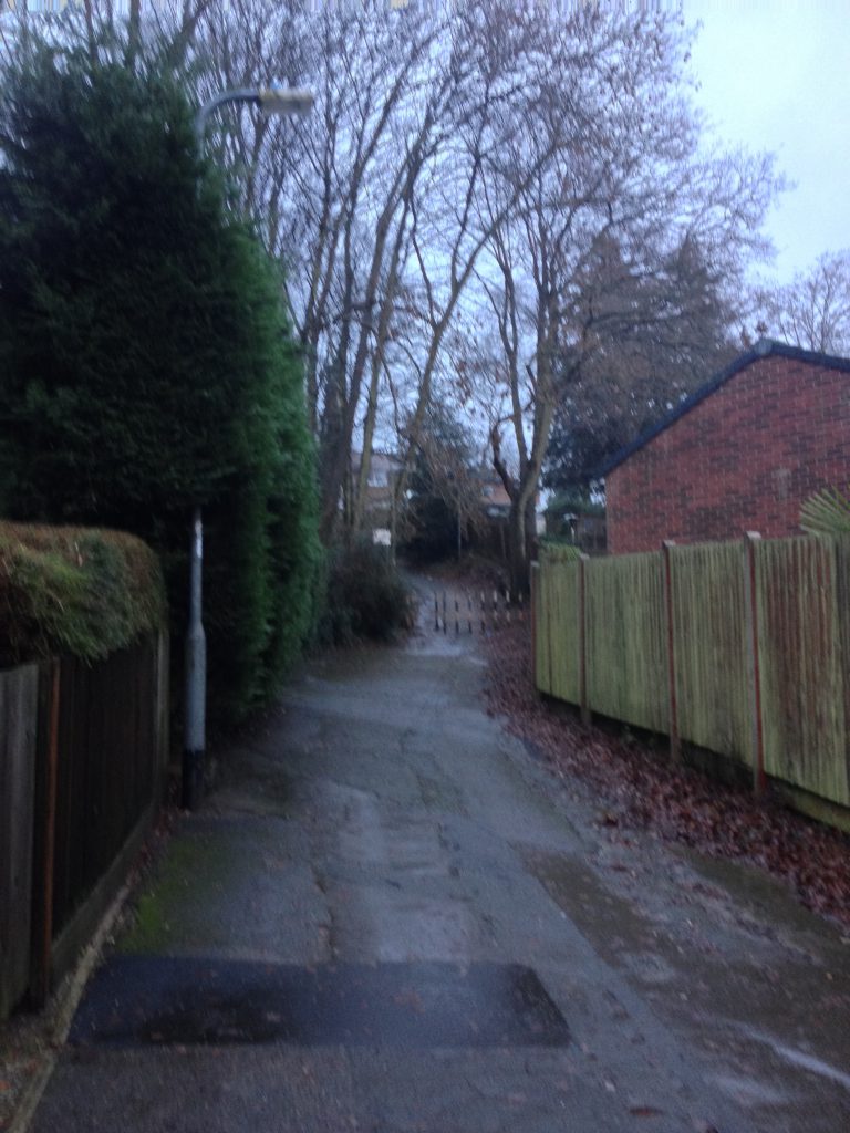
Of course, as I was heading towards the village it was all uphill, but quite a gentle hill for the most. Towards the end the banks on either side become quite steep and I could see the tracks where flood water had been running off fairly recently. In several places the soil had been washed away from tree roots leaving them precariously anchored. With every creak I half expected a tree to topple onto my head and I rushed along as fast as I could.
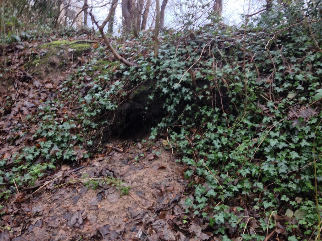
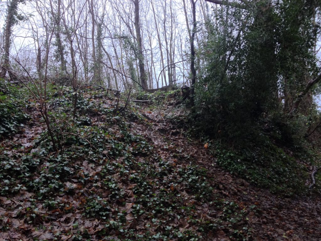
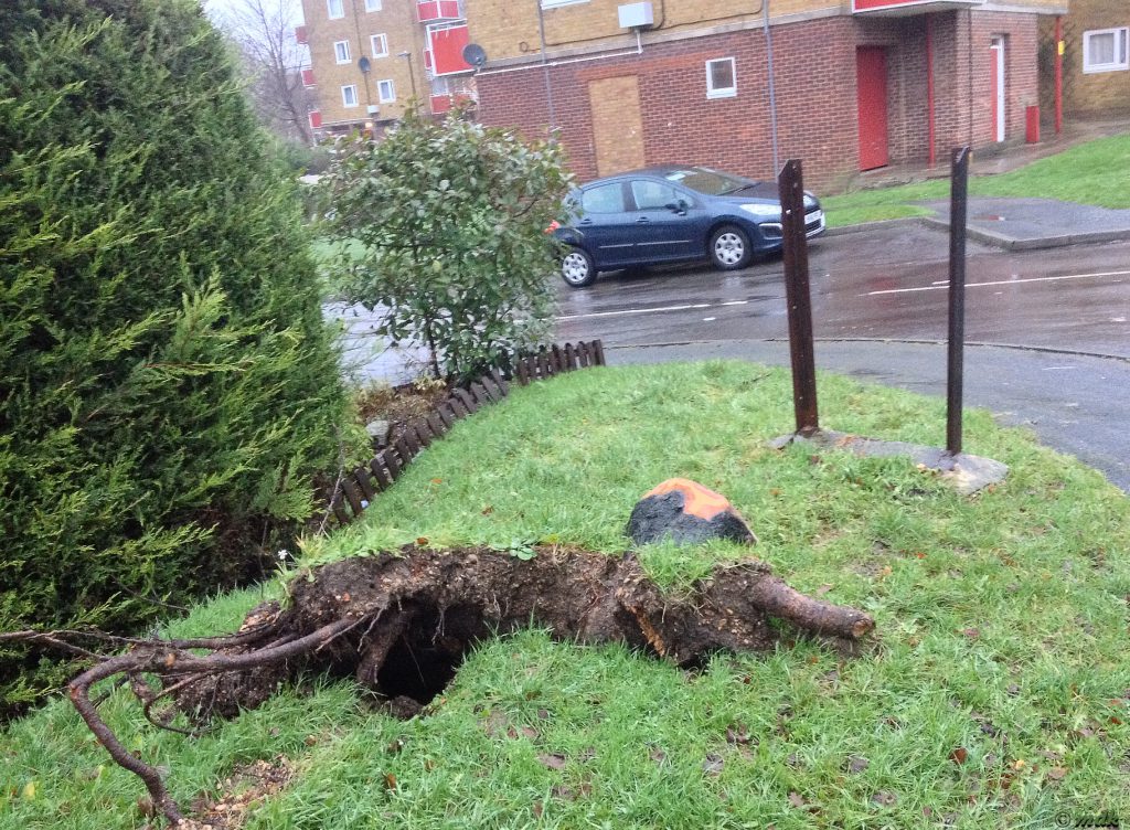
Once I made it safely to the top it was easy going, quickly though the small housing estate then down through the leafy lanes towards Hum Hole. I did see the remains of a tree uprooted by the wind on the estate. By the looks of it it took a road sign down as it fell but at least it didn’t land on anyone’s roof. None of the trees around my house are actually in my garden but, if they were, I think I’d be stamping around their trunks trying to tamp down the earth around their roots.